Description
A mountain adventure in Morocco’s High Atlas
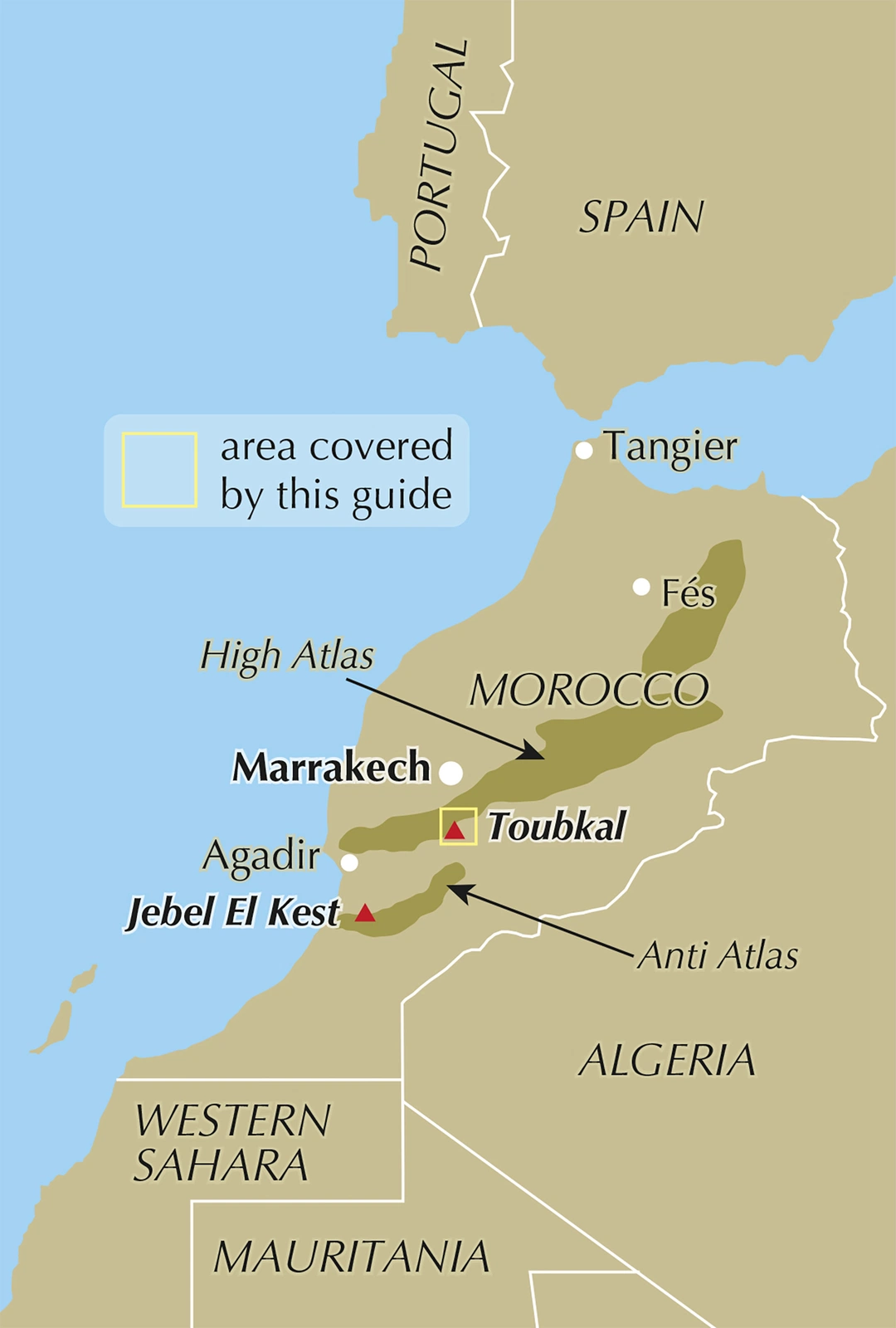
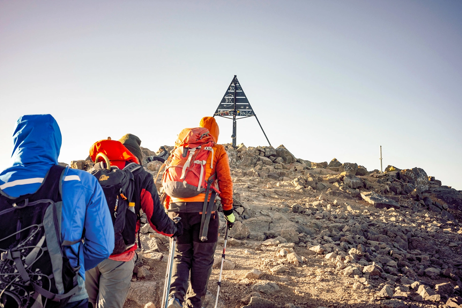
At 4167 metres, Jebel Toubkal is North Africa’s highest mountain. The surrounding valleys, passes and villages offer much more than the summit alone. This guide helps you plan a journey from the Imlil area into the mountains, whether you have an ascent or a longer trek in mind. Altitude and conditions make preparation essential, even when the summer route does not involve technical climbing.
Summit routes, acclimatisation and a circuit
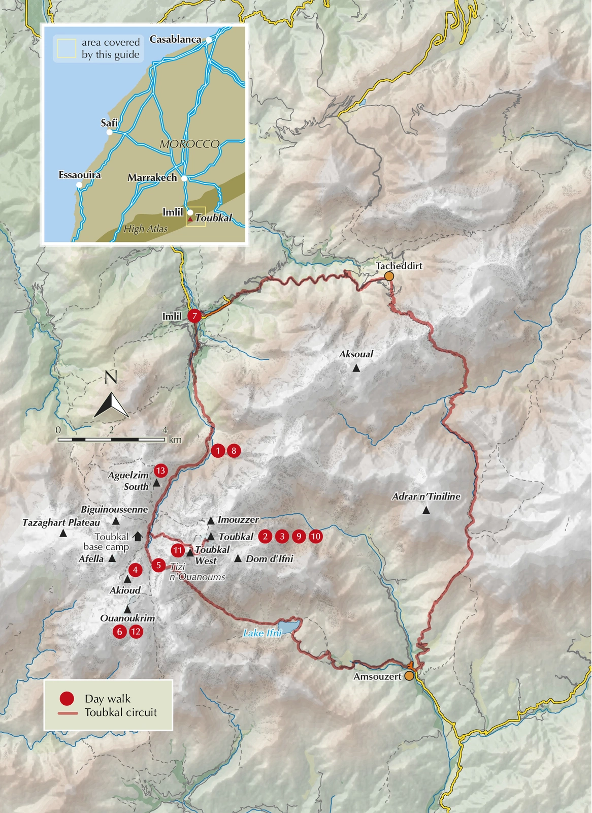
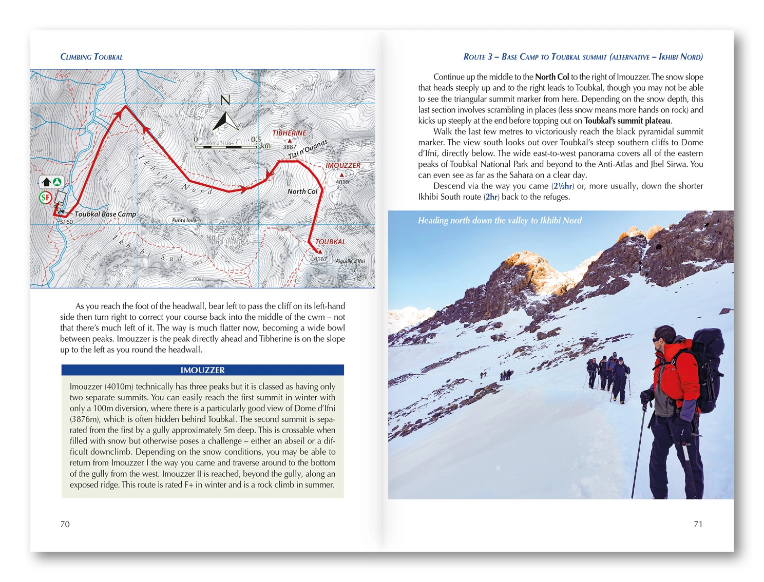
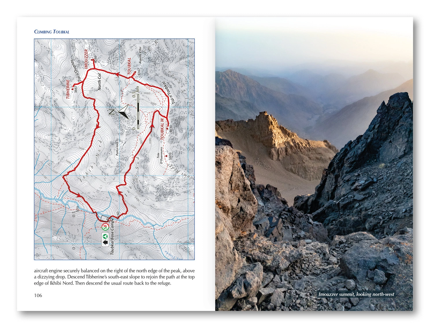
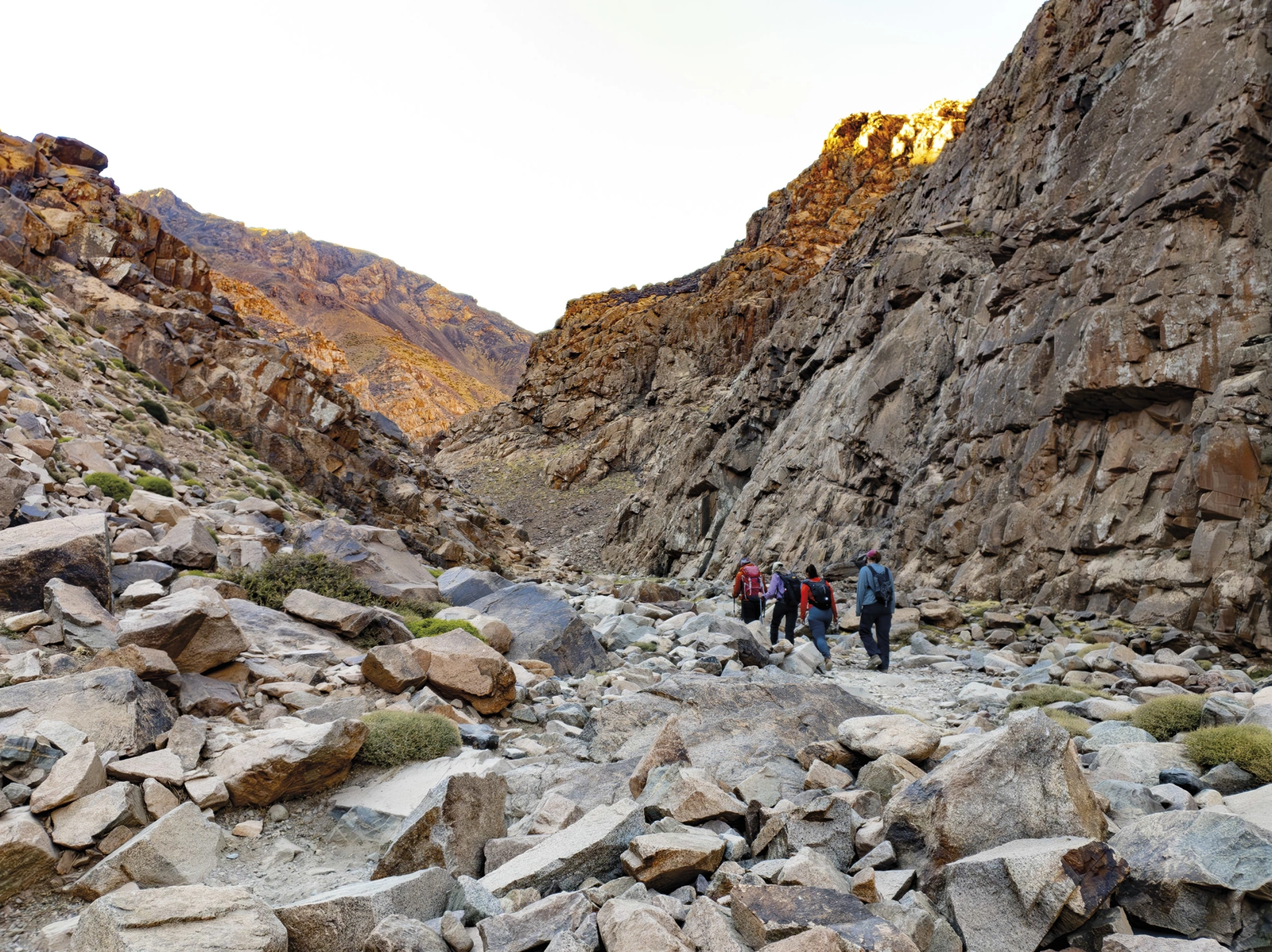
The book describes both Ikhibi Sud and the less frequently used Ikhibi Nord as approaches to the summit. Summer and winter options sit alongside walks that can form part of your acclimatisation. The Toubkal Circuit is described in six stages over approximately 68 kilometres, through valleys, passes and lakeside scenery around the massif. Choose a focused summit trip or a longer stay that reveals more of the region.
Maps and practical arrangements
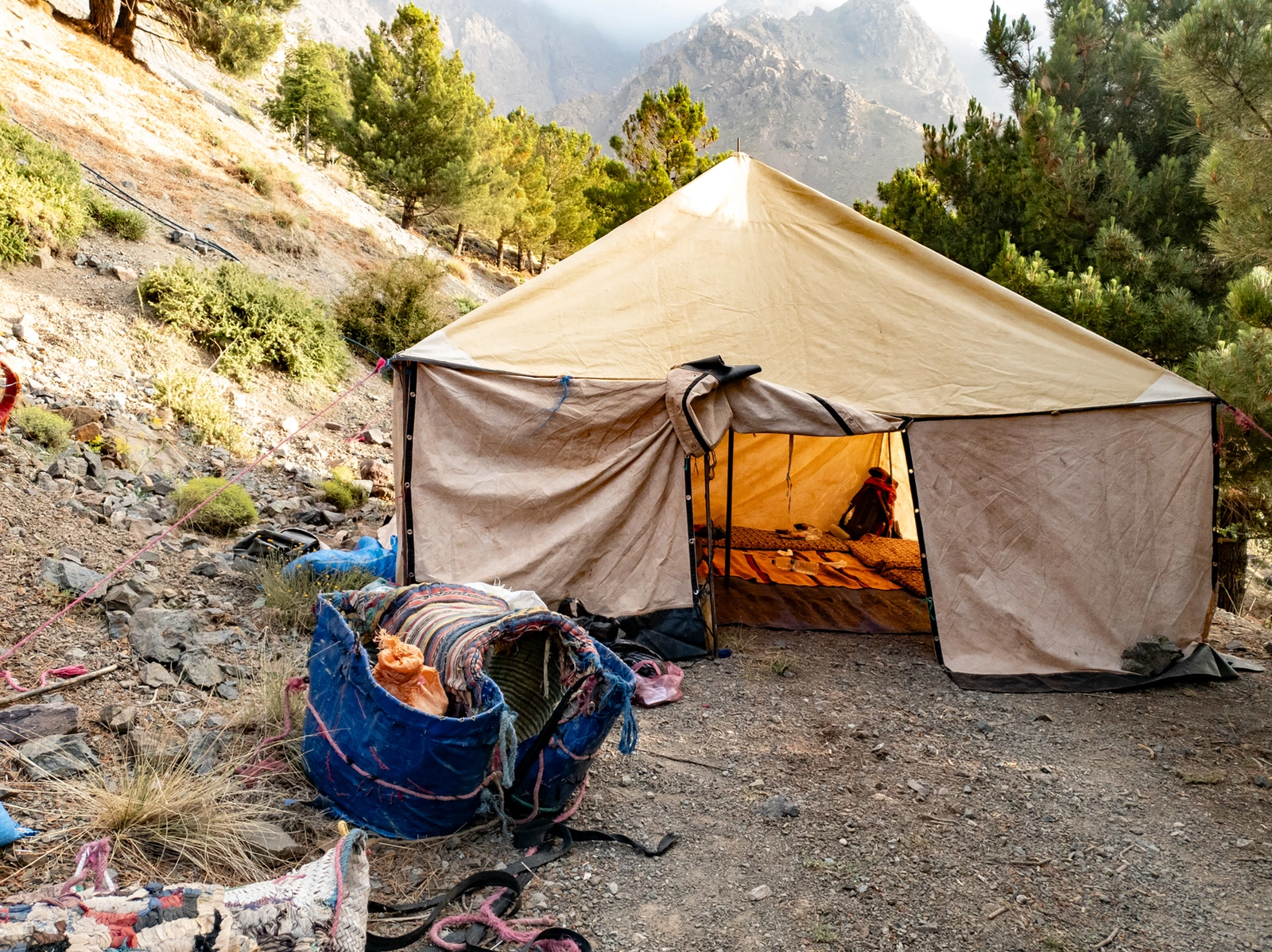
Oxford Alpine Club maps accompany the routes, and GPX files are available from Cicerone. The guide covers transport, accommodation, facilities, equipment and planning, from the valley to the mountain refuges. It also discusses local guides and practical requirements within the national park. Use it to organise your trip and clarify arrangements, bookings and current access requirements with local operators before finalising your plans.
Summer and winter demand different skills
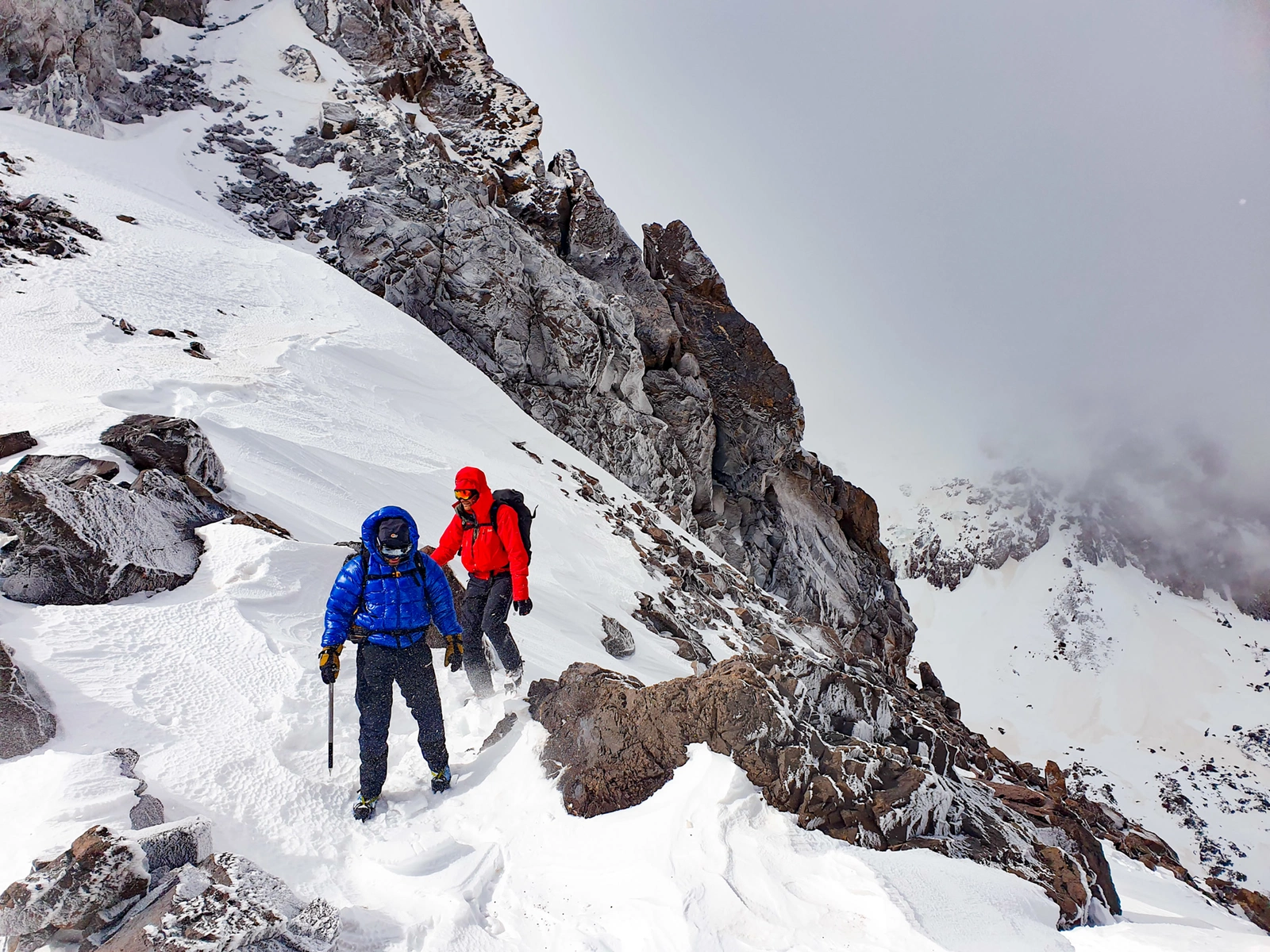
A summer ascent and a winter trip are very different undertakings. Snow and ice can require mountaineering skills and equipment beyond those used on a summer walk, while altitude needs attention in either season. The book suits walkers who want to understand the routes and plan a realistic itinerary. Current conditions, appropriate local support and your own experience should shape the trip, with room for rest days and changes along the way.
About this edition
English-language guidebook by Emily Woodhouse. First edition, published in 2025. 152 pages. ISBN 9781786311993.