
Description
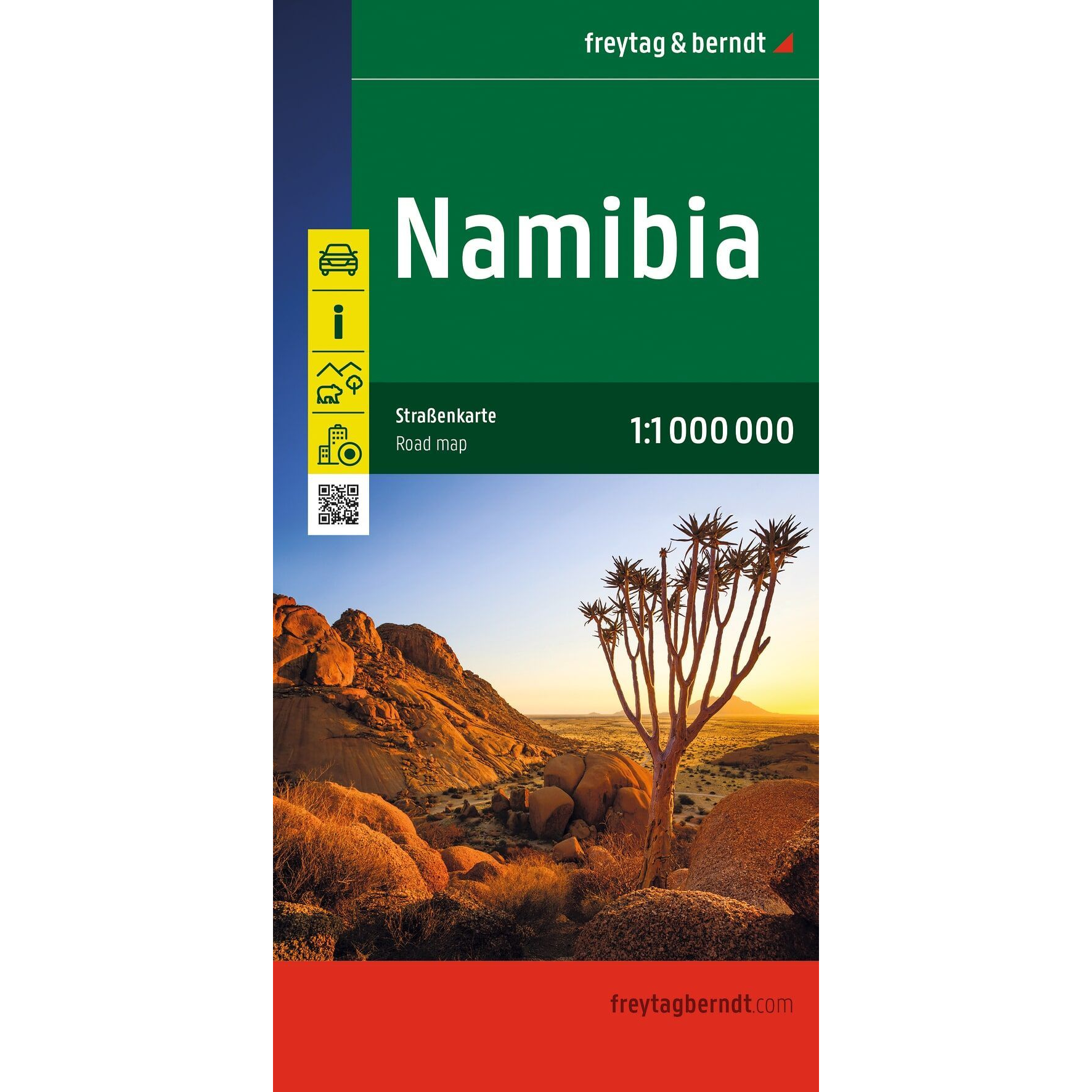
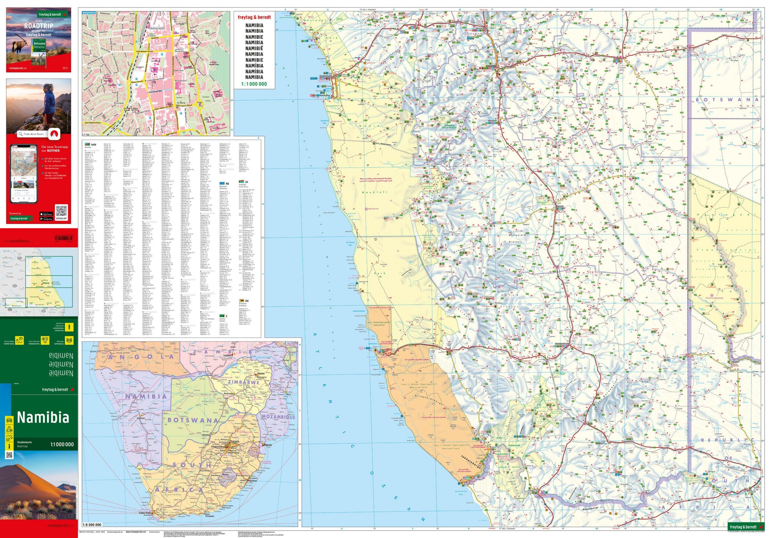
Namibia – Road Map (Multilingual) by Freytag & Berndt is a detailed road and travel map covering all of Namibia. The map is designed for travelers by car, motorcycle, RV, and 4×4, and provides a clear overview of the road network combined with practical tourist information.
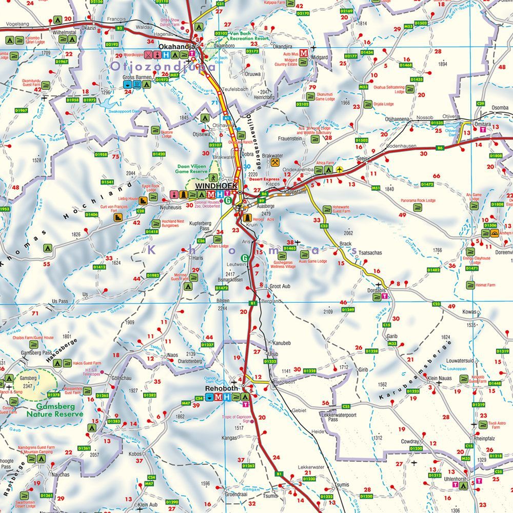
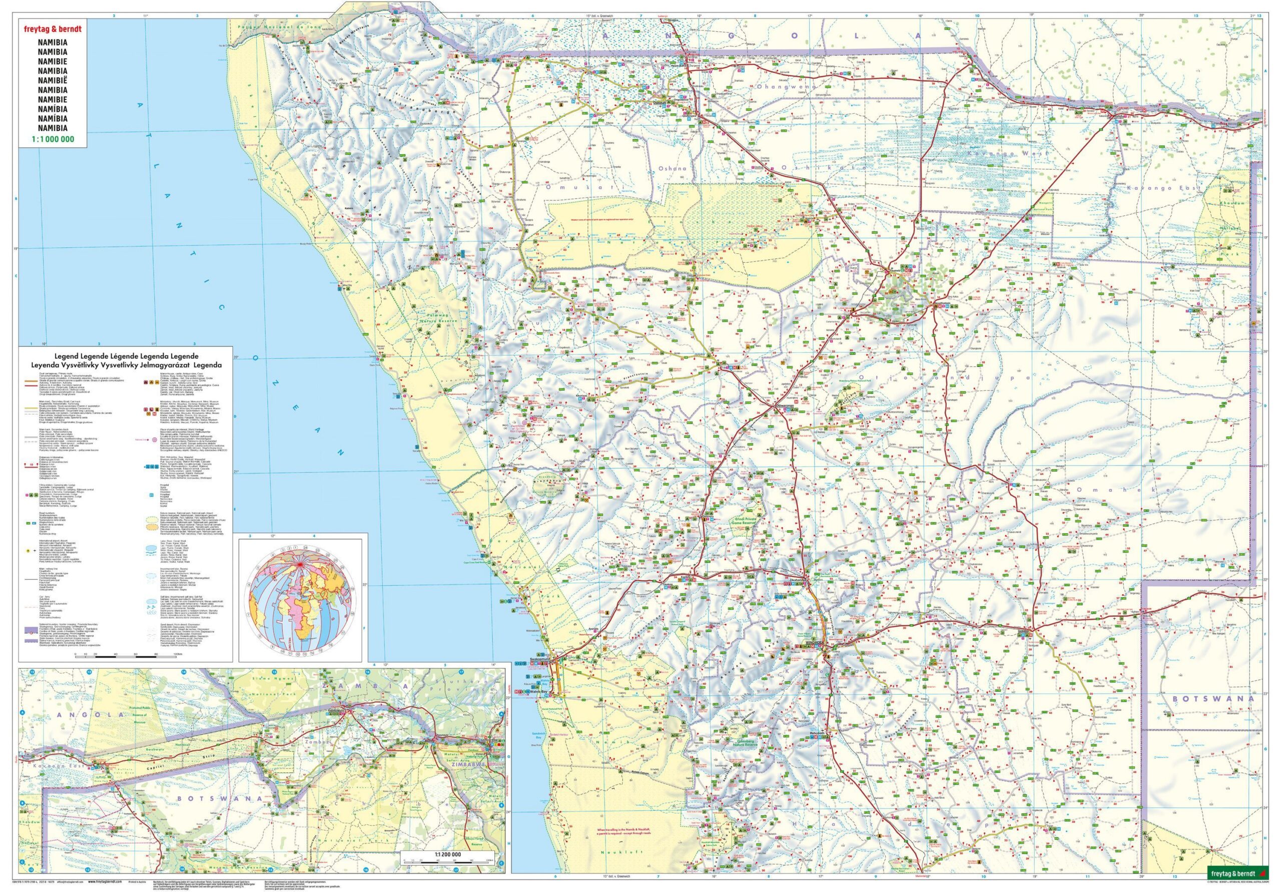
The map is printed at a scale of 1:1,000,000 and shows both major and minor roads, making it easy to plan everything from long road trips to expeditions through Namibia’s spectacular landscapes. In addition, the map includes tourist information, campgrounds, gas stations, a comprehensive index of places, and a separate city map of Windhoek.
The map covers the entire country and makes it easy to plan visits to some of Namibia’s most famous attractions, including Etosha National Park, Sossusvlei, Fish River Canyon, and the coastal town of Swakopmund. The double-sided map measures approximately 124 × 87 cm when unfolded, providing a good overview while still folding easily into a convenient travel size.
A paper map is a valuable supplement when traveling in Namibia, where cell phone coverage and internet access can be limited over long distances. The map works completely independently of cell phones, GPS, and the internet, and makes it easy to plan routes and find your way along the way.
Freytag & Berndt is known for its precise cartography and well-researched road maps, and this edition is a good choice for both first-time visitors and experienced travelers in southern Africa.
Release year: 2026.