
Description
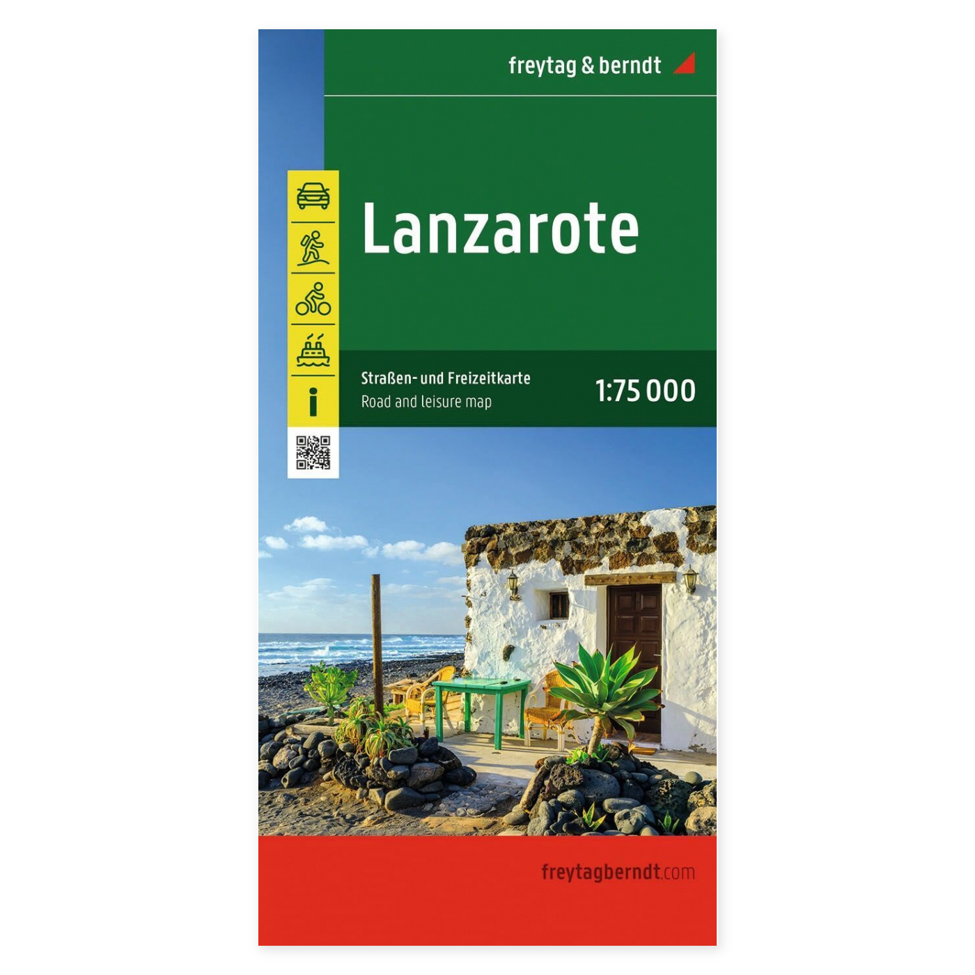
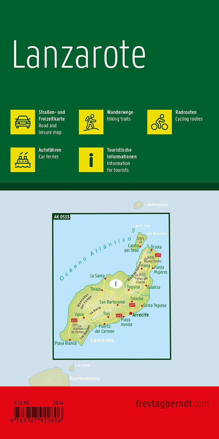
Freytag & Berndt Lanzarote is a detailed road and recreational map covering the entire island of Lanzarote, the northeasternmost of the Canary Islands. With a scale of 1:75,000, the map offers an excellent combination of overview and detail, making it an ideal tool for anyone who wants to explore the island by car, motorcycle, or RV.
The map shows the entire road network, including information on road conditions, distances, and a variety of tourist attractions. In addition , campgrounds, marinas, ferry connections, and other tourist facilities are clearly marked, making it easy to plan both short day trips and longer tours. Whether you want to visit Timanfaya National Park, the volcanic landscapes, the wine regions of La Geria, the beaches of Papagayo, the artworks of César Manrique, or the resort towns of Puerto del Carmen, Costa Teguise, and Playa Blanca, this map provides a reliable guide throughout your entire trip.
The map is produced by Freytag & Berndt, one of Europe’s leading map publishers, and is known for its clear cartography and high quality. The 2024 edition features updated map data and the latest available information on the road network and tourist attractions on Lanzarote.
Release year: 2024.