Description
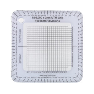
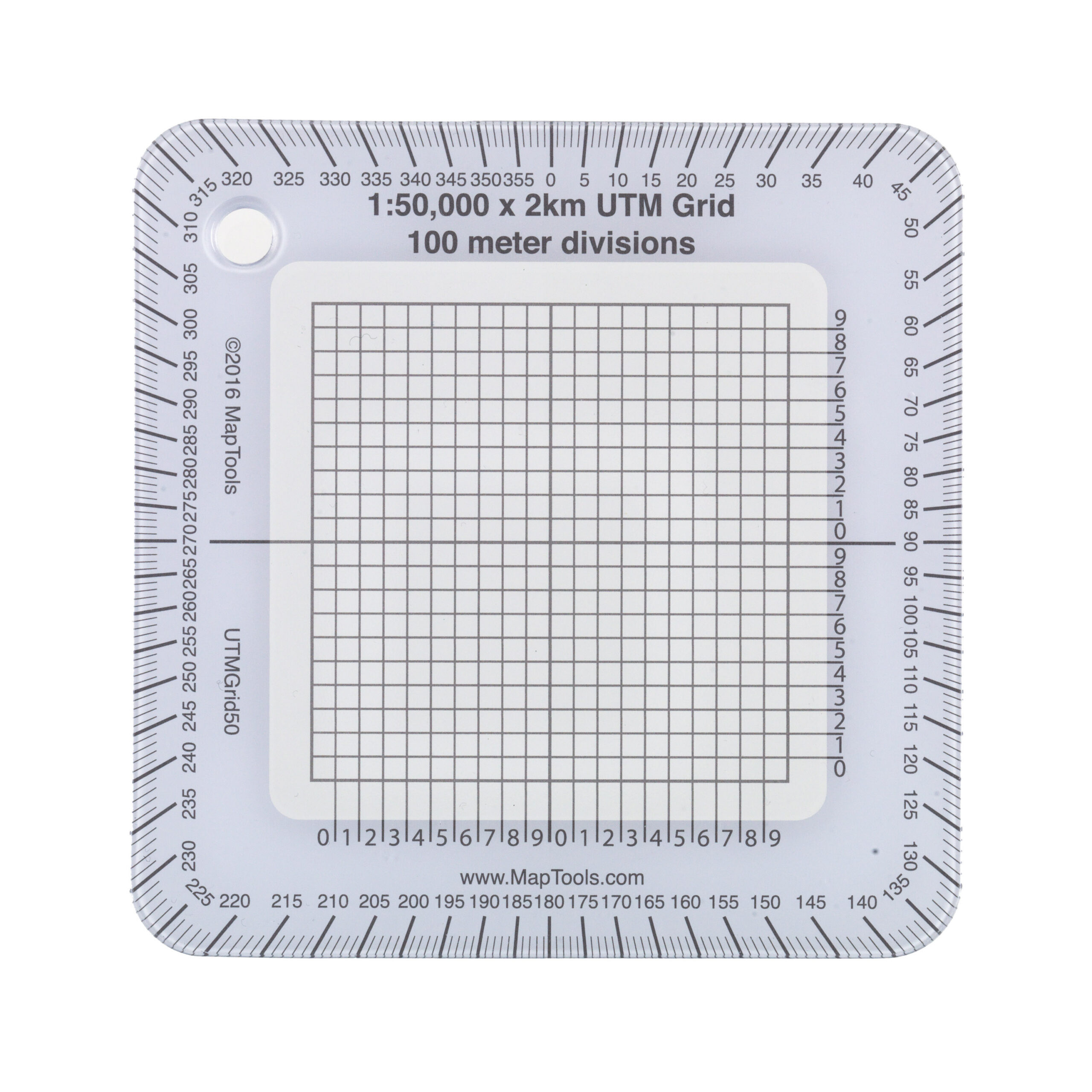
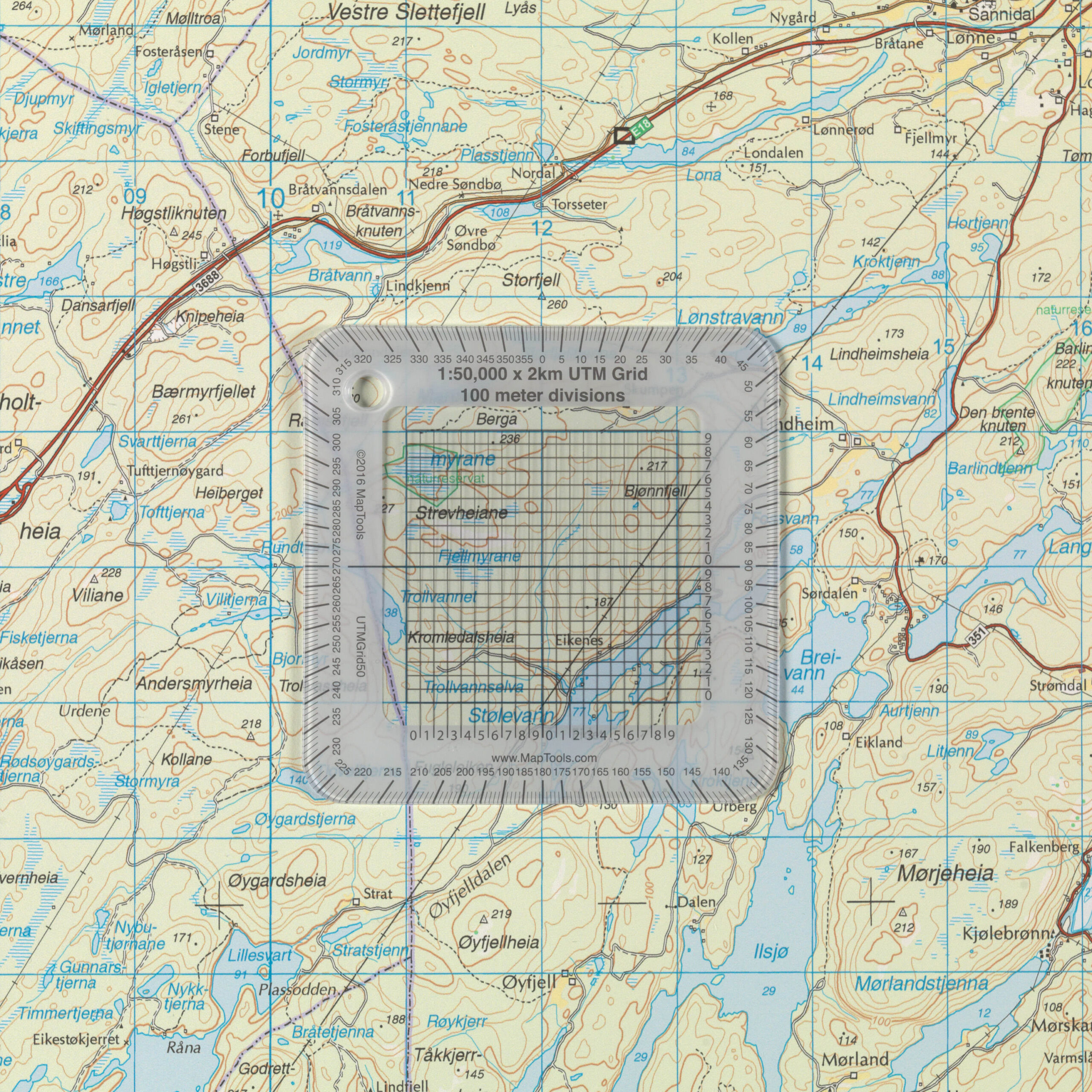
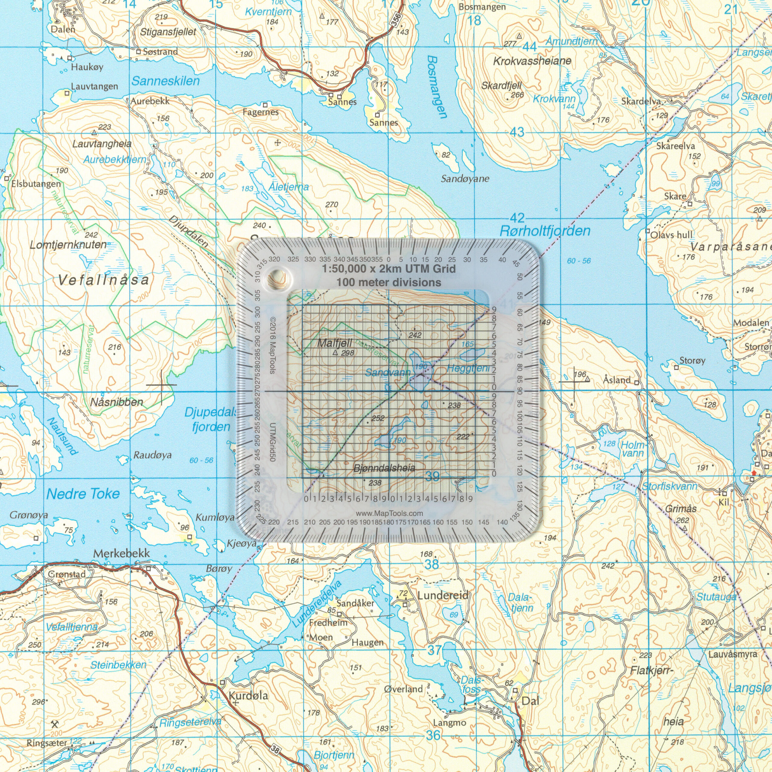
UTMGrid50 is a transparent mapping tool developed for 1:50,000-scale maps, making it easy to read, mark, and plot UTM coordinates with high precision. The tool is superimposed directly onto the map’s coordinate grid and divides each kilometer into 100-meter intervals, allowing you to quickly determine your exact position in the field. Together with a map, compass, and GPS, UTMGrid50 is a practical tool for safe and precise navigation.
UTMGrid50 is a perfect match for most Norwegian hiking maps at a scale of 1:50,000, including a number of maps from Nordic Maps, Calazo, and other map series that use the UTM coordinate grid. Its compact size means the tool easily fits in your pocket, backpack, or map case, so it’s always available when you need it.
Along the edge of the UTMGrid50, you’ll find an integrated compass rose, which makes it easy to measure or plot compass bearings directly on the map. The white border around the coordinate grid makes both the coordinates and the degree scale easier to read, while also ensuring the tool stands out clearly against the map. A convenient hole for a lanyard or carabiner makes it easy to attach the UTMGrid50 to your gear.
UTMGrid50 is made of durable, transparent plastic, about as thick as a credit card, with a protected print that withstands long-term use. Whether you’re planning a hike, practicing orienteering, working with maps in the field, or looking for a reliable supplement to your GPS, this is a simple and effective mapping tool that provides a better overview and more precise navigation.