Description
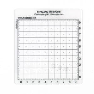
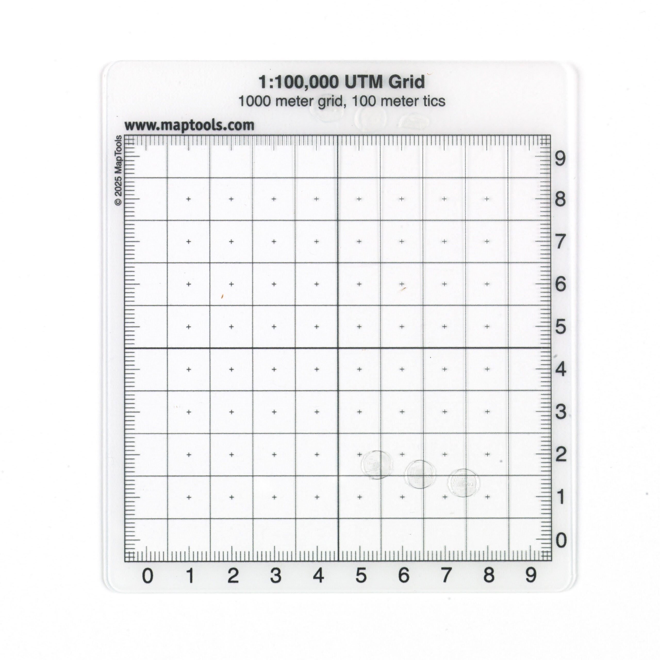
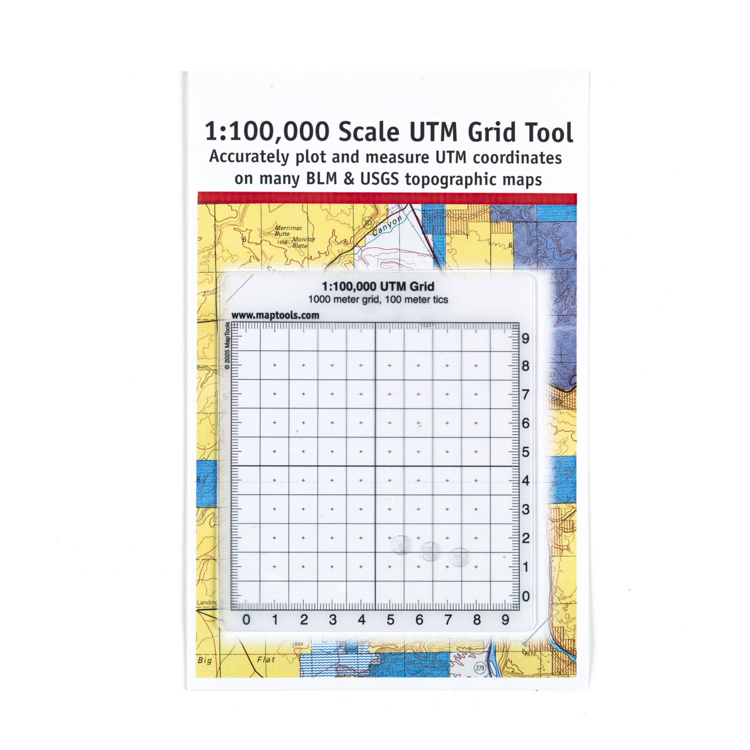
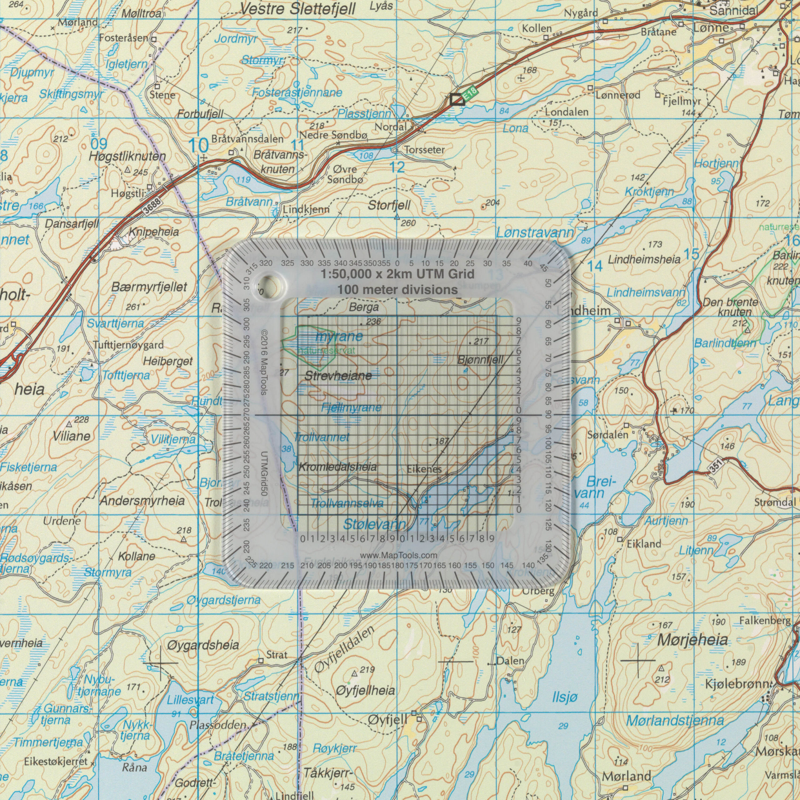
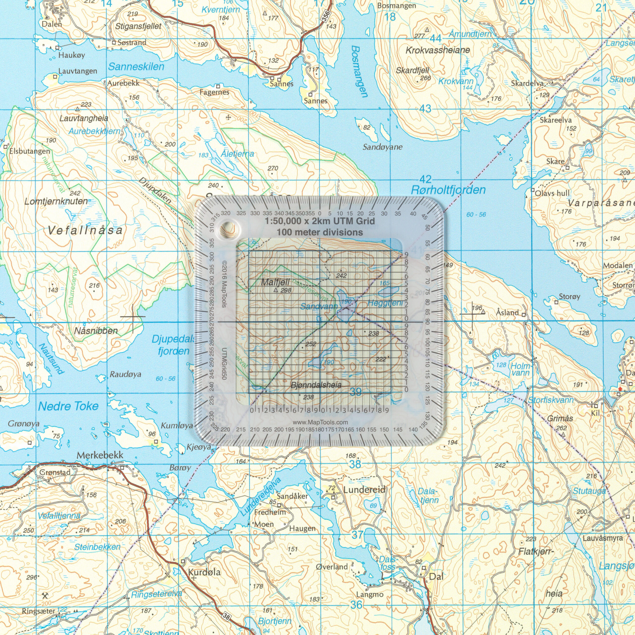
UTMGrid100 is a transparent coordinate grid for maps at a scale of 1:100,000, designed for quick and accurate reading and plotting of UTM coordinates directly on the map. The grid is superimposed on the map’s UTM grid, making it easy to determine a position with high accuracy. By dividing each 10 × 10-kilometer UTM grid square into smaller 1-kilometer grid squares and combining this with the markings along the edge, positions can be determined with up to 100 meters of precision.
UTMGrid100 is compatible with all 1:100,000-scale maps using the UTM coordinate grid and is a useful tool for outdoor recreation, search and rescue, emergency preparedness, education, and professional map navigation. The product works exceptionally well with a variety of Nordic map series, including selected maps from Nordic Maps, the Norwegian Polar Institute, and other topographic maps with UTM grids.
The transparent plastic ensures that the map information remains clearly visible during use, while the coordinate template is rigid enough to provide accurate readings and easy handling in the field. The print is protected against wear and tear, and the material is about as thick as a credit card, making the tool durable and well-suited for many years of use.
UTMGrid100 is a simple yet effective navigation tool for anyone who wants more precise map navigation than is possible with maps alone. When used with maps, a compass, and GPS, the coordinate grid makes it easy to find exact locations, plan routes, and communicate coordinates in a safe and standardized way. Whether you’re planning a long hike, working with maps in the field, or looking for a reliable supplement to your GPS, UTMGrid100 is a practical tool that provides a better overview and greater precision.