

Description
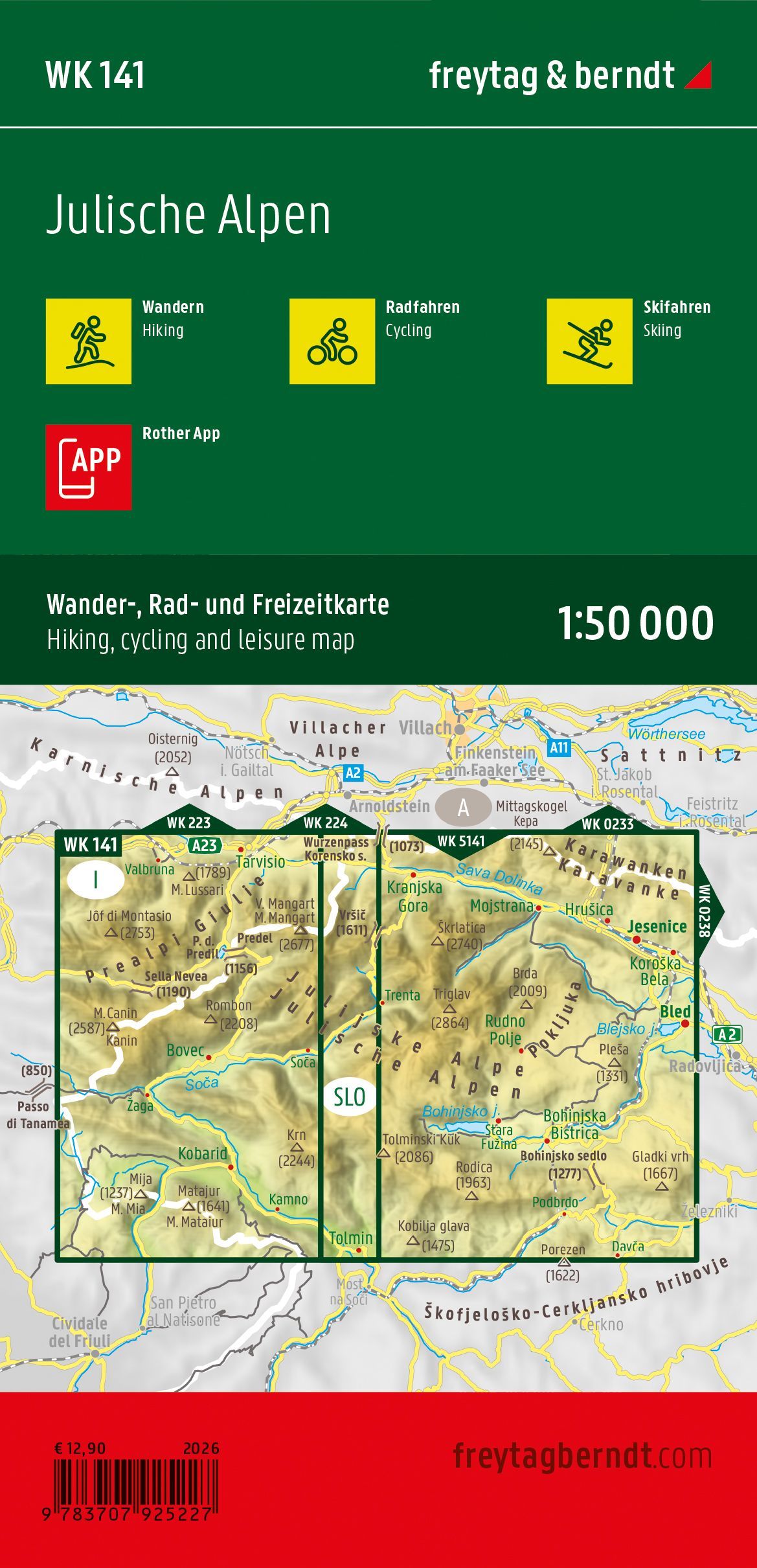
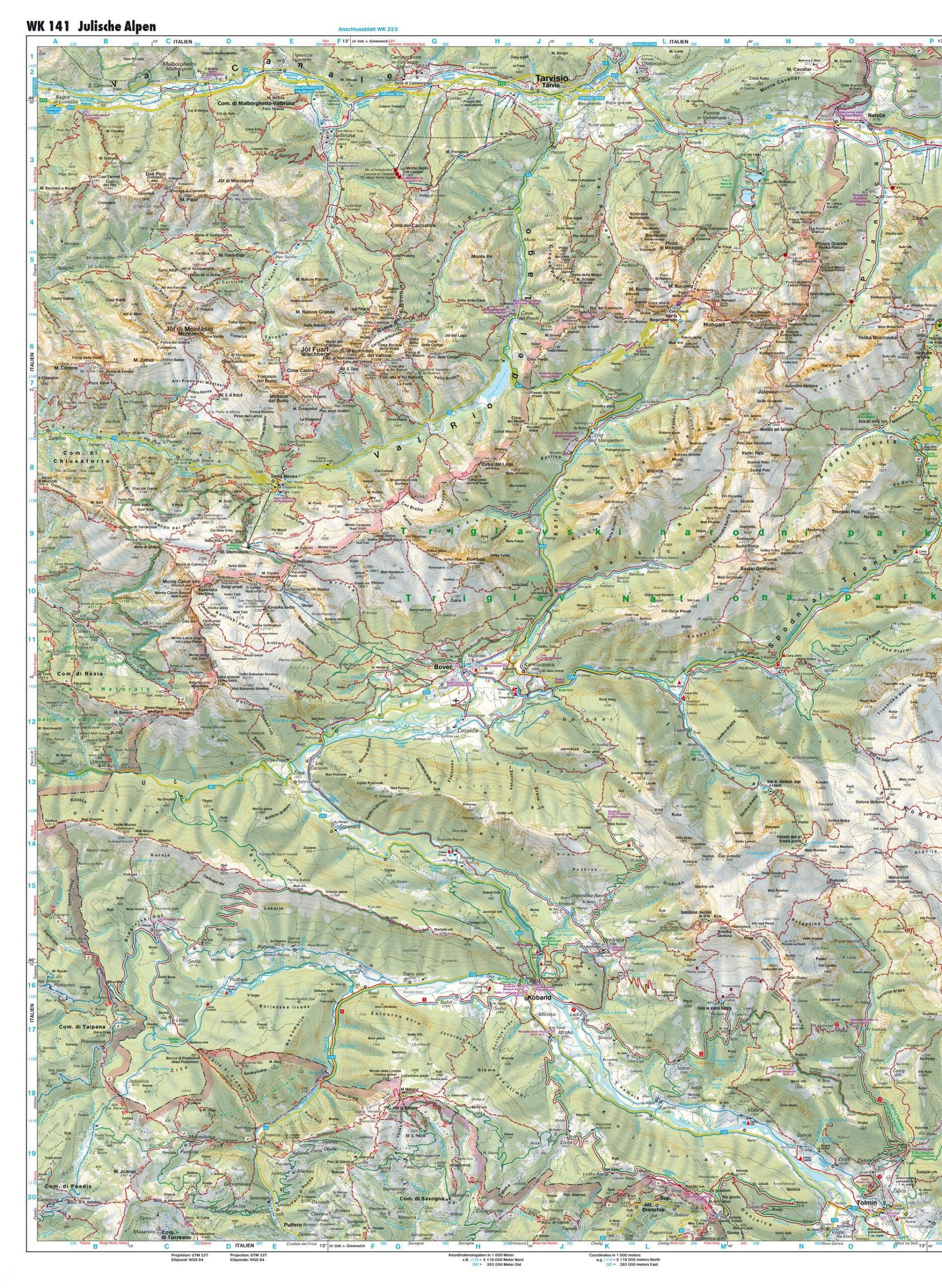
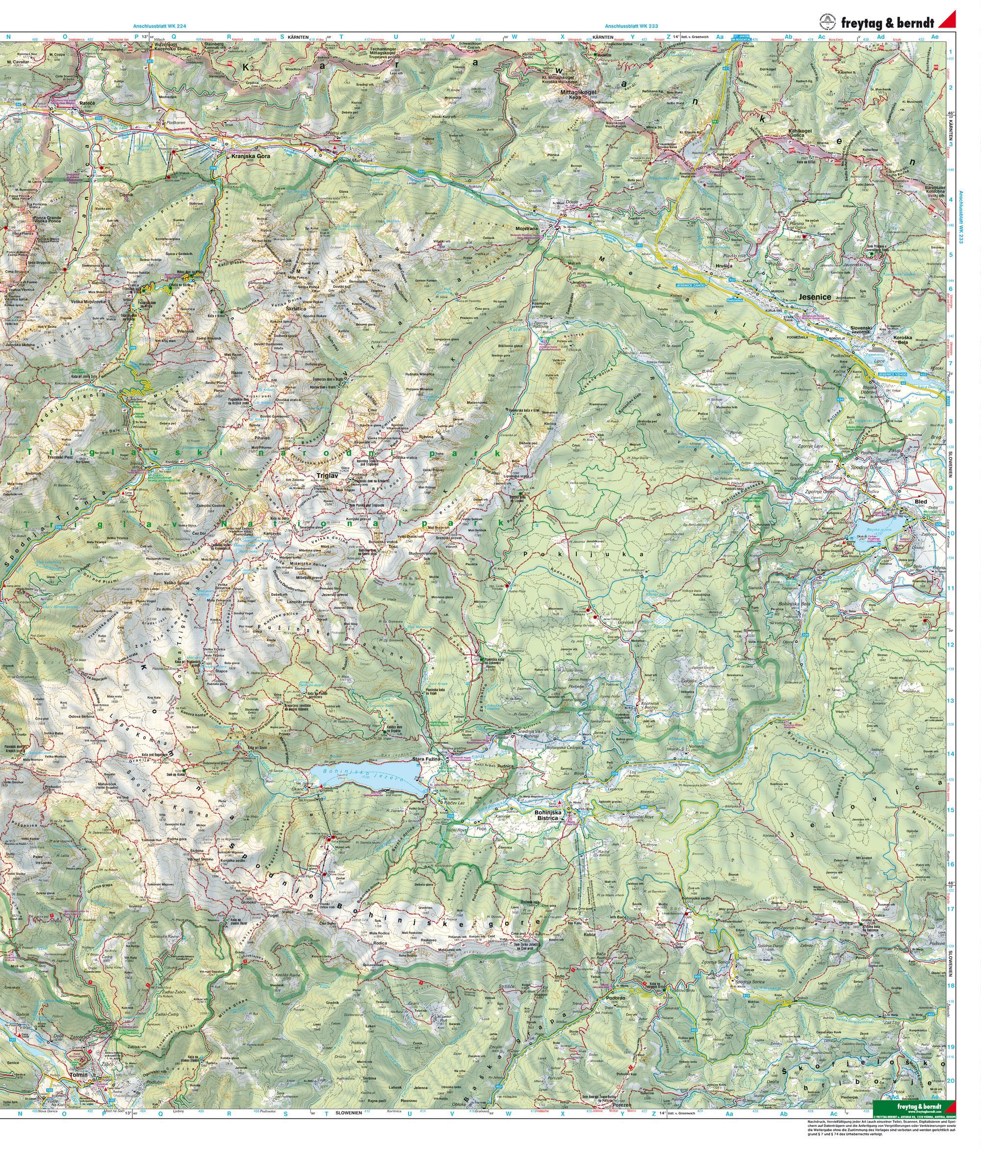
Freytag & Berndt Julian Alps WK 141 is a detailed hiking, biking, and recreational map at a scale of 1:50,000 covering the Julian Alps on both sides of the border between Slovenia and Italy.
The map covers one of the most spectacular mountain regions in the Southern Alps, including Kranjska Gora, Mangart, Tarvisio, Passo del Predil, and the areas surrounding Triglav National Park. The coverage also includes parts of the Italian region of Friuli-Venezia Giulia and the Slovenian mountain region near Kranjska Gora and Jesenice.
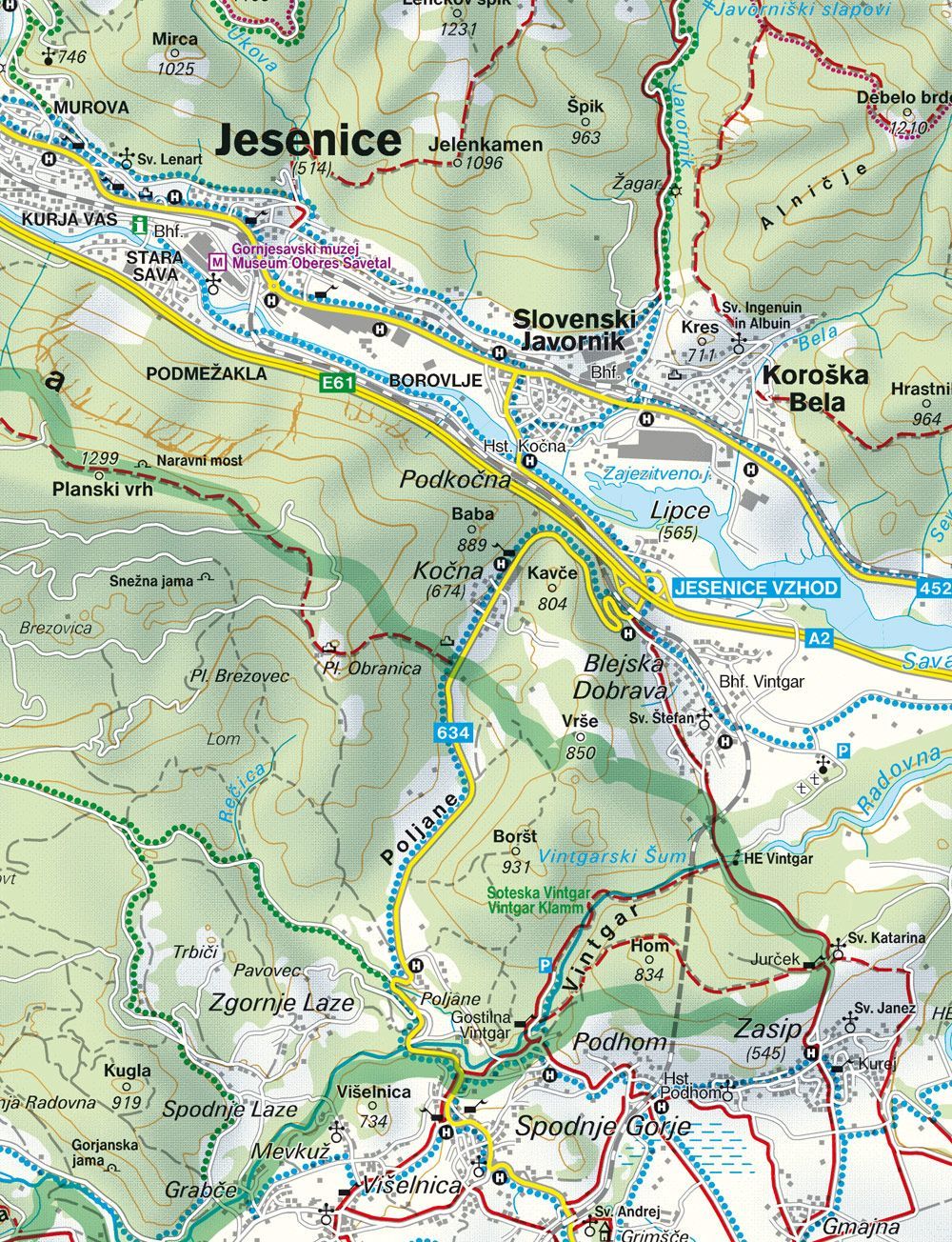
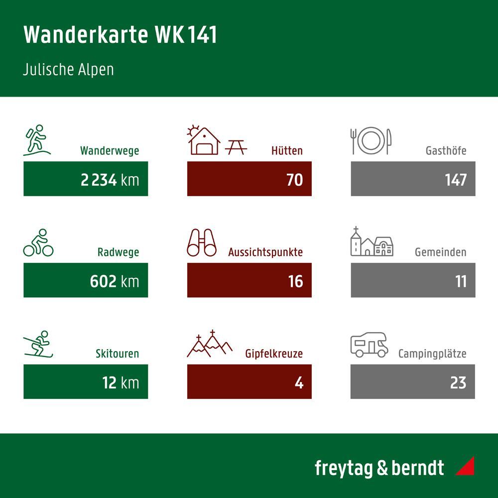
The map shows hiking trails and long-distance trails, bicycle routes and mountain bike trails, ski routes and cross-country ski trails, as well as tourist information and GPS-relevant map information. Among the well-known routes in the area is the Alpe-Adria Trail.
The map is double-sided and measures approximately 82 × 69 cm when unfolded. This is the 2026 edition of Freytag & Berndt WK 141 Julian Alps.
The map is in German.