
Description
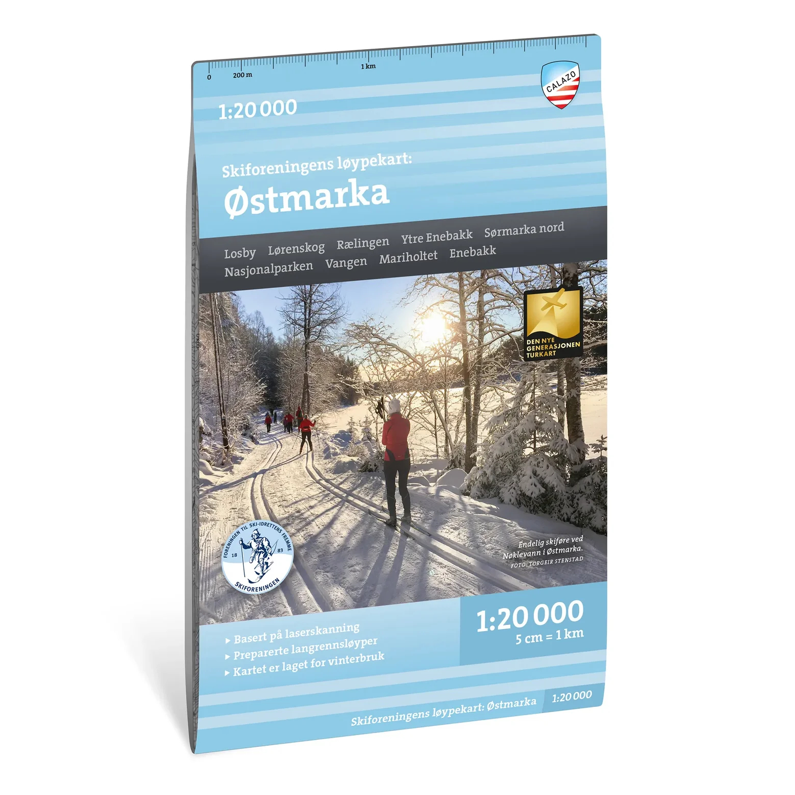
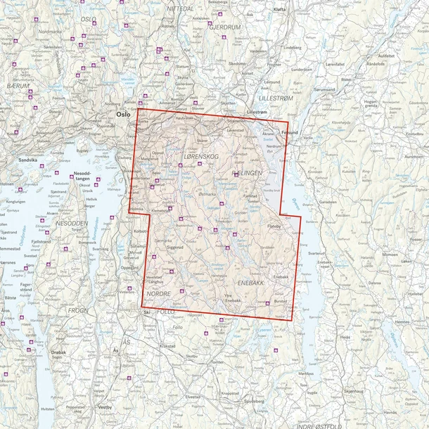
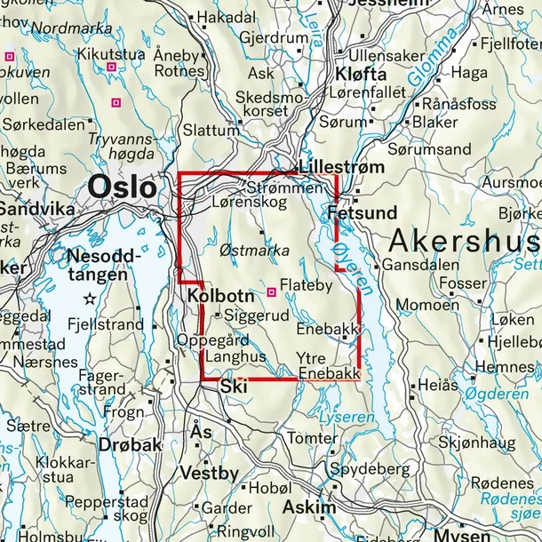
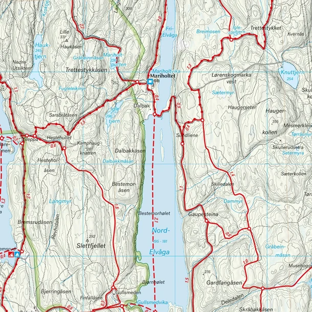
The Calazo Østmarka Trail Map is a detailed winter map at a scale of 1:20,000, developed specifically for cross-country skiing and ski touring in Østmarka. The map was created in close collaboration with the Norwegian Ski Association and provides an excellent overview of the trail network in this part of Oslomarka.
The map clearly shows groomed ski trails, different trail types, and distances between key points, making it easy to plan both short training runs and longer day trips. In addition, practical information such as parking lots, cabins, and restaurants is marked on the map.
The Østmarka Trail Map is one of four specialized maps from Calazo that collectively cover the Oslomarka region and more than 3,000 kilometers of groomed ski trails. The information on the map is organized so that it can easily be used in conjunction with the Norwegian Ski Association’s real-time information on trail conditions and grooming.
The map is based on detailed terrain data from aerial laser scanning, which provides a highly accurate representation of the terrain. The large scale of 1:20,000 makes the map particularly well-suited when you need a high level of detail and precise orientation while out in the field.
The map was last updated in 2024.