
Description
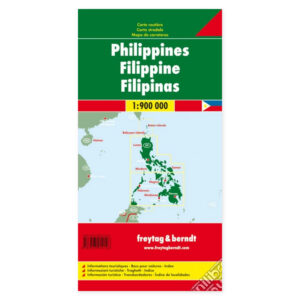
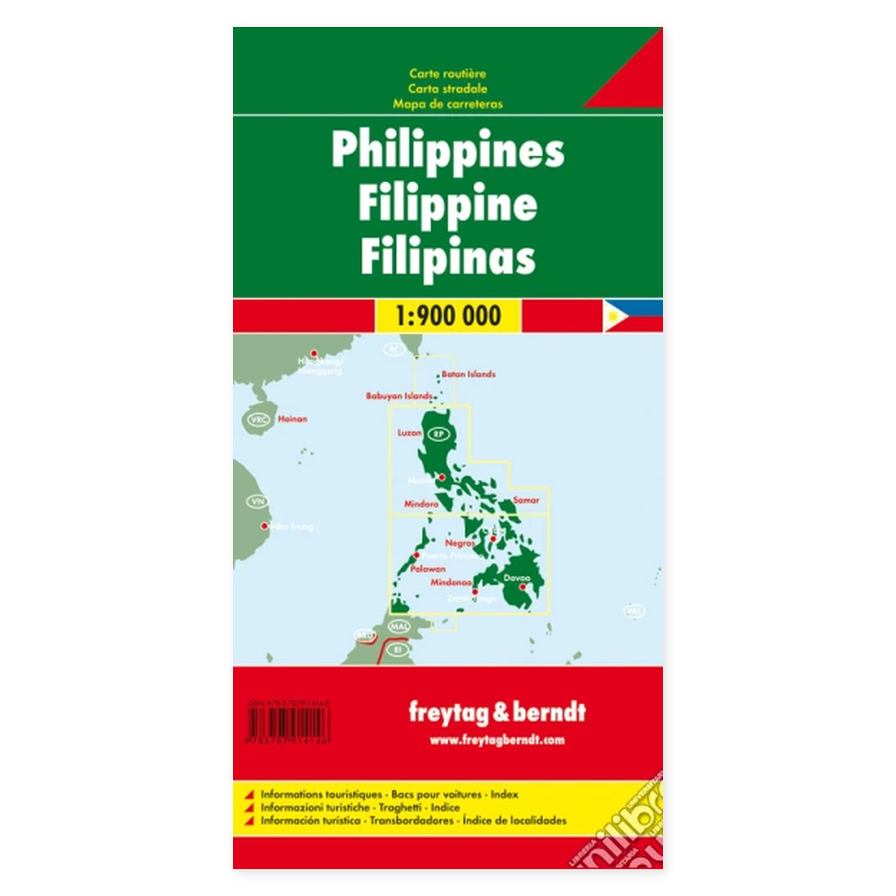
Philippines – Road Map (Multilingual) from Freytag & Berndt is designed for travel planning and orientation in the region.
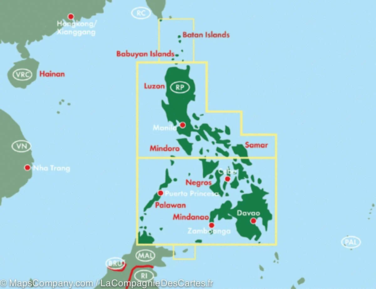
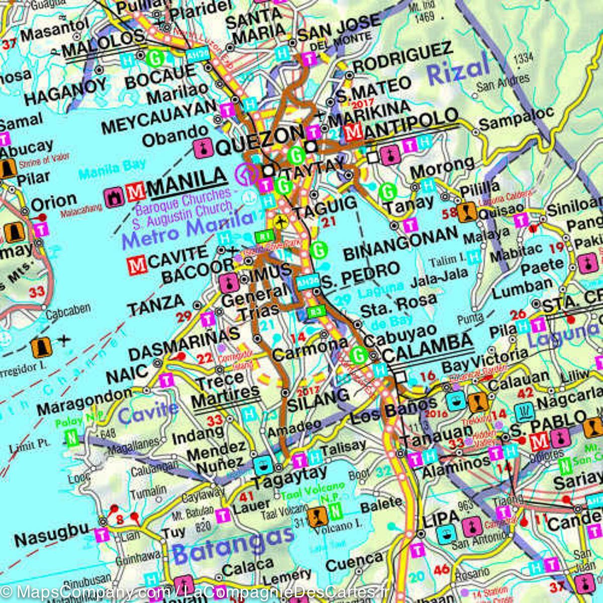
Content and Coverage. Road map of the Philippine islands featuring ferry connections, distances along main roads, and an index of places. The terrain representation shows mountain ranges and volcanoes, while specific symbols mark national parks, campsites, and tourist destinations. The map is printed on both sides, allowing the archipelago to be shown at a practical scale. Unfolded format is approximately 125 × 87 cm. The legend includes English, French, and German, among others.
Plan on paper. An unfolded map allows you to compare several locations simultaneously and view your route in context. Use place names and the map’s legend to find relevant stops and choose which areas you wish to explore further.
Practical information: Scale 1:900,000. Year of publication 2018. ISBN 9783707914146. Item number AK 183 ALT. Publisher Freytag & Berndt.