

Description
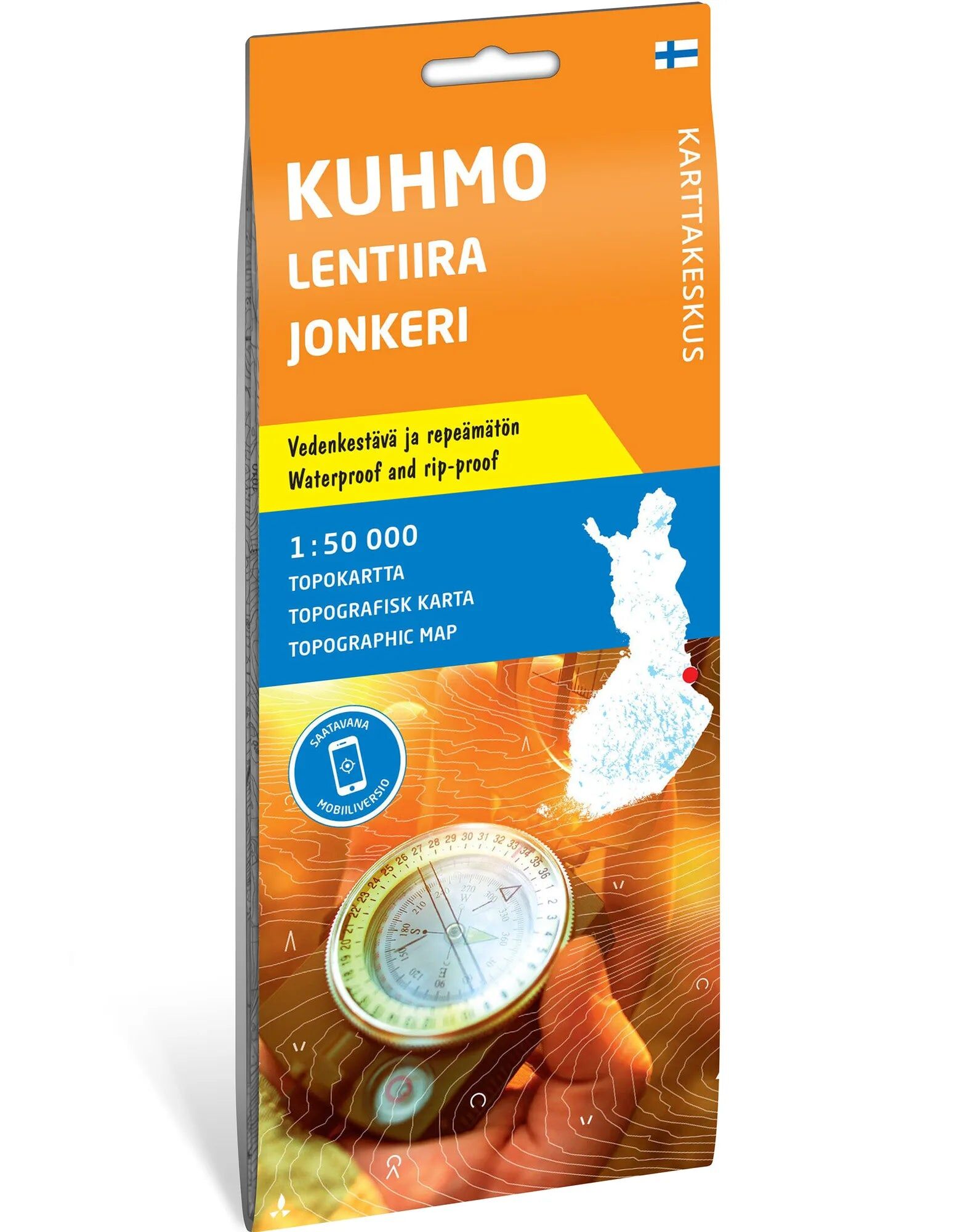
Hiking map of the forest and wilderness areas around Kuhmo. A topographic map at scale 1:50,000 for those who want to explore Kuhmo, Lentiira and Jonkeri in Finland. It provides a comprehensive map base for planning trips in the area.
Known outdoor areas and paddling routes. The map covers popular destinations such as Elimyssalo, Jonkerinsalo and Iso-Palonen–Maariansärkät. It also shows routes through wilderness areas used by paddlers. The map is therefore suitable for both hiking and planning trips on the water.
Waterproof topographic map. The map sheet is 70 × 100 cm and made of durable Tyvek that withstands moisture and repeated folding. The map is delivered folded and is easy to bring out during planning. Publisher is Karttakeskus; Calazo distributes this edition.
Practical information: Scale 1:50,000. Map sheet 70 × 100 cm. Publisher Karttakeskus. Last revised 2022 according to Calazo. ISBN 9789522667090.
