Description
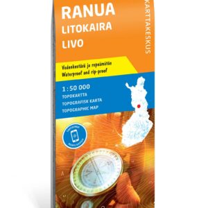
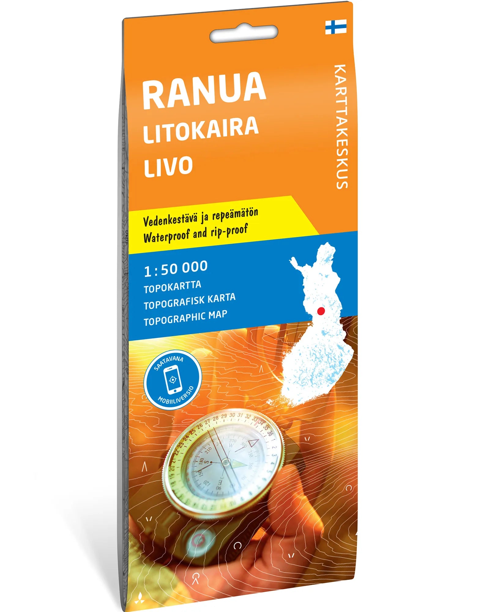
Bog and forest wilderness in Finnish Lapland. Topographic map of Ranua, Litokaira and Livo at a scale of 1:50,000. Litokaira is one of Europe’s largest continuous bog and forest areas, and the map provides an overview of a landscape suited to experienced wilderness hikers.
Hiking, paddling and fishing. Siuruanjoki, Livojoki and Kivijoki are among the waterways suited for paddling and fishing. The area has no marked hiking trails, so the map is especially suitable for those with experience navigating outside developed routes.
Made for use outdoors. The foldable map is printed on waterproof and tear-resistant Tyvek. The unfolded map sheet measures 70 × 100 cm. The map is published by Karttakeskus and is supplied through Calazo with Karttakeskus’s own map design.
Practical information: Scale 1:50,000. Map sheet 70 × 100 cm. Publisher Karttakeskus. Last revised 2022 according to Calazo. ISBN 9789522667526.