
Description
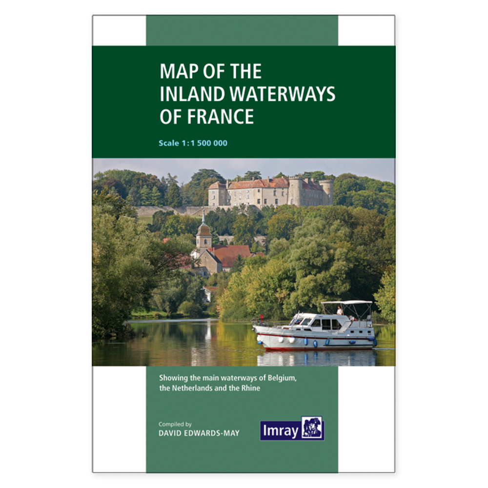
French Waterways – Overview Map is an English-language overview map of France’s waterways. The paper map provides a combined geographical starting point when choosing your destination and viewing a longer journey in context.
Rivers and canals combined on one folded map provide a geographical overview of France’s inland waterways. The 1:1,500,000 scale makes the map ideal for seeing the bigger picture and planning which parts of the waterway network to explore in more detail.
Map of the Inland Waterways of France is a paper map that can be unfolded when comparing destinations. It serves as a supplement to more detailed river and canal guides when planning a specific route.
Plan on paper. Unfold the map and see your destinations in context. An overview map is especially useful when discussing the route with others and deciding which areas you want to find more detailed information about.
Practical information: Author Imray / David Edwards-May. Language English. 3rd edition, published 2019. Format folded map. ISBN 9781786790644. Publisher Imray.