
Description
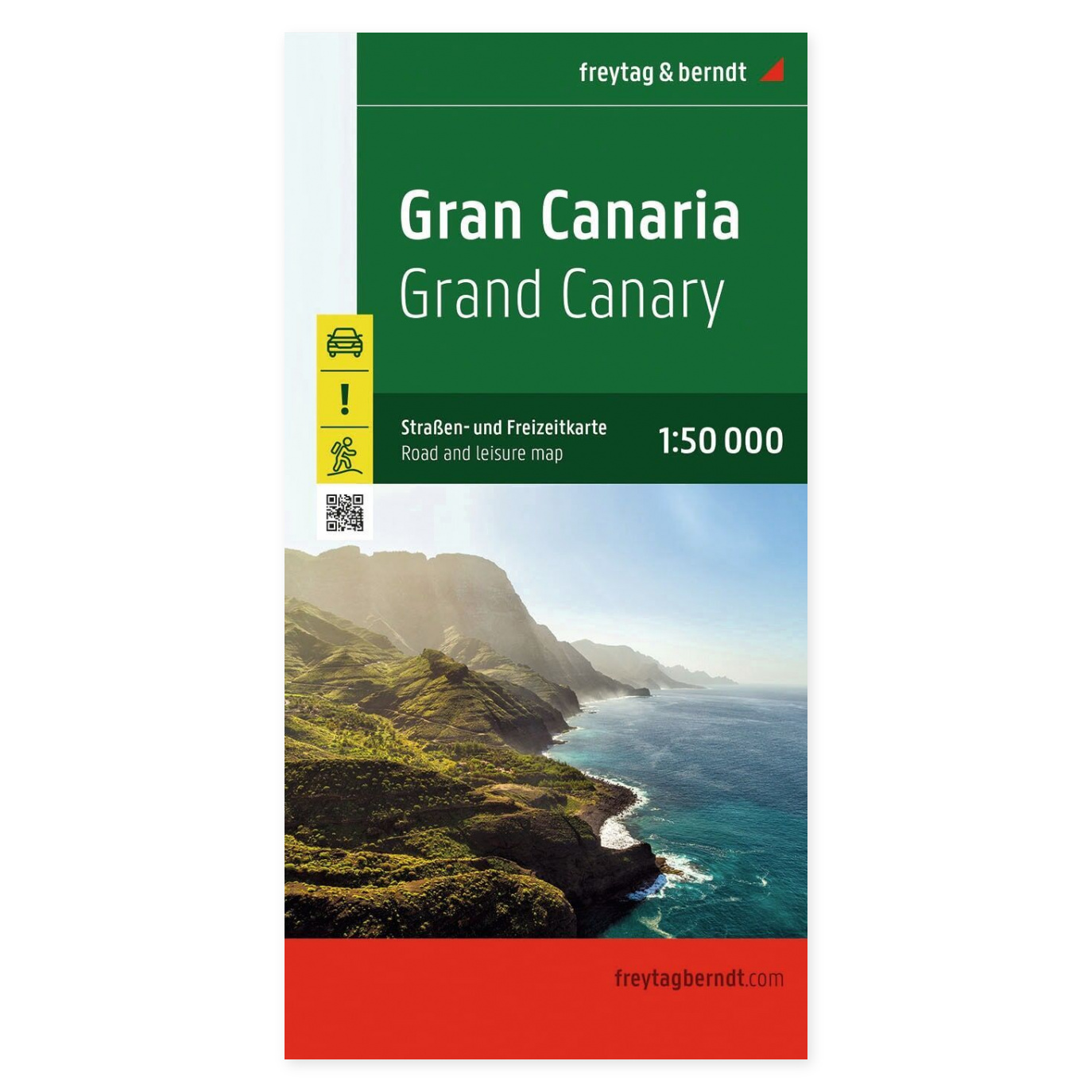
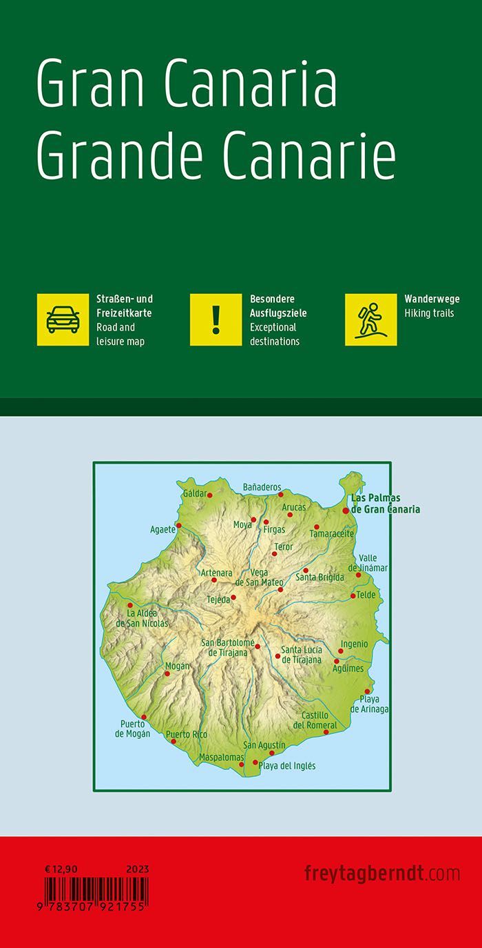
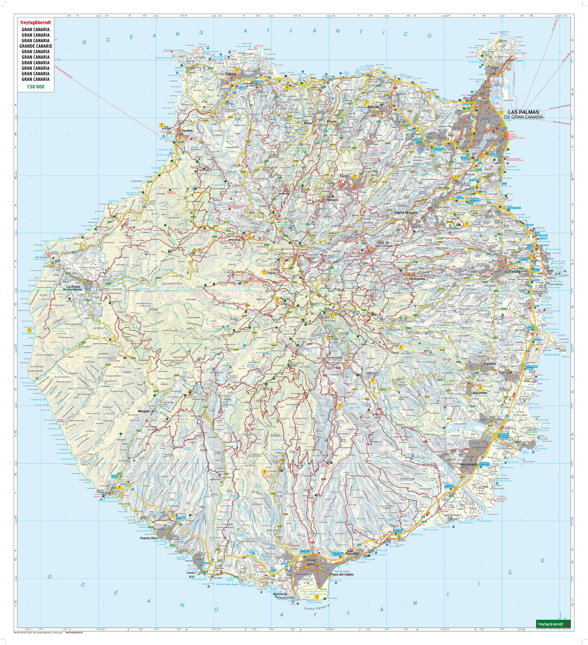
The Gran Canaria road map at a scale of 1:50 000 provides a comprehensive overview of the island and is a practical aid for planning drives and excursions. The large map format makes it easy to see the connections between places and plan a multi-stop itinerary.
Hiking routes and viewpoints are marked on the map. This allows you to combine your drive with a walk or find a viewpoint along your route. The map is suitable for both planning at home and as a supplement to digital maps while traveling.
The included information booklet on excursion destinations provides ideas for places to visit. Use the booklet with the map to find relevant destinations and consider how they fit into your daily schedule.
A place index with GPS coordinates makes it easier to find specific locations and use the paper map in conjunction with GPS or mobile maps. On an unfolded map, multiple travelers can also plan the day’s trip together.
Practical information: Multilingual, foldable road and leisure map. Scale 1:50 000, which corresponds to 500 meters per centimeter on the map. Unfolded format approx. 110 × 99 cm. Publication year 2022. Publisher Freytag & Berndt.