




Description
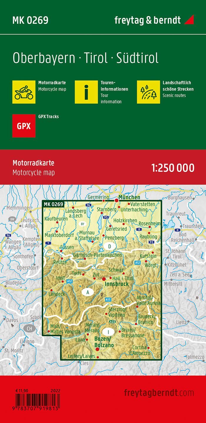
Upper Bavaria, Tyrol and South Tyrol motorcycle map at a scale of 1:250,000 is designed for planning motorcycle trips. The map provides a comprehensive paper-based foundation for comparing routes, selecting stages, and seeing where relevant stops are located in relation to each other.
1,740 km of marked motorcycle tours provide specific route options in the area. Scenic road sections are highlighted, and tour information makes it easier to choose between various possibilities before you get on your bike.
Meeting points for motorcyclists and GPX tracks supplement the map. Follow the manufacturer’s information included with the map for digital access to the tracks. The paper version provides an overview when planning the trip with others.
Waterproof and tear-resistant material makes the map suitable for travel. You can unfold it for planning and fold it back up when it needs to be packed away.
Practical information: Scale 1:250,000, equivalent to 2.5 km per centimetre. Unfolded format approx. 61 × 90 cm. Year of publication 2022. ISBN 9783707919813. Publisher Freytag & Berndt.
