
Description
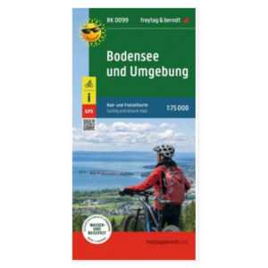
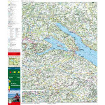
The Lake Constance cycling map in scale 1:75 000 is designed for planning cycling tours around Lake Constance and its surrounding areas. The map covers the region where Germany, Austria, and Switzerland meet, providing a clear paper map for comparing touring options.
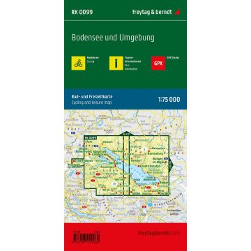
Cycling paths and mountain bike routes are marked, along with tourist information. This makes it easier to see the relationship between routes and choose excursions that suit your journey. The scale corresponds to 750 meters per centimeter on the map.
GPX tracks for download supplement the paper map. Please follow the supplier’s information included with the map for access to the digital tracks.
Waterproof and tear-resistant material makes the map suitable for taking on cycling tours. The double-sided map can be unfolded for joint route planning and folded up when it needs to be packed away.
Practical information: Unfolded format approx. 70 × 82 cm, printed on both sides. Languages: German and English. Publication year 2022. ISBN 9783707919080. Publisher Freytag & Berndt.