
Description
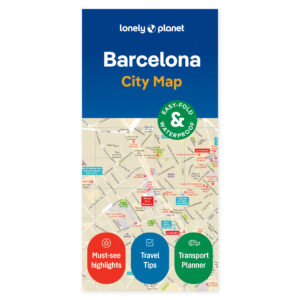
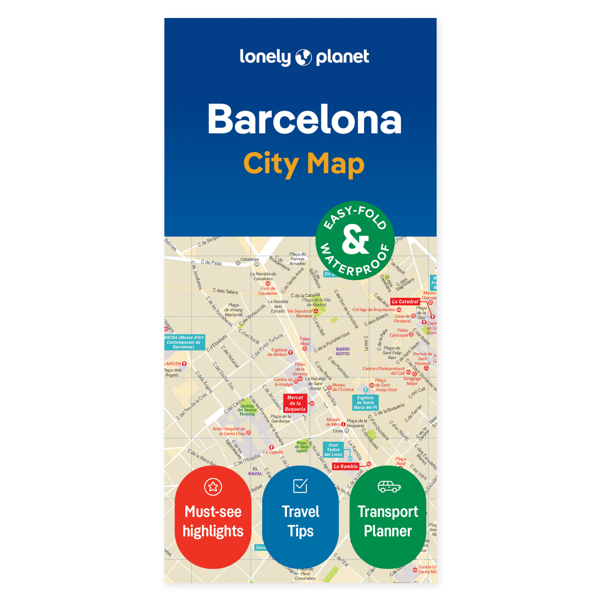
See your trip on the map. Plan your route between Barcelona’s districts with a map you can unfold and share. The Lonely Planet Barcelona City Map gives you an overview of central areas and makes it easier to choose stops that fit together on the same day.
The map covers Eixample, Barri Gòtic, El Raval, Barceloneta, La Ribera, and Montjuïc, among other areas. It includes a grid for locating places, an explanation of public transport, and tips on tickets and transport to and from the airport. Highlights covered include La Pedrera, Mercat de la Boqueria, and Museu Nacional d’Art de Catalunya.
Practical to bring along. The map is in color, water-resistant, and easy to fold. It comes with a protective cover. You can use it to get an overview without zooming in on a screen, and as a supplement to the travel guide when planning each day’s route.
Unfolded size is 63 × 49.4 cm. Folded, the map measures 9.5 × 19.7 cm.
About this edition. English edition, published 2023. ISBN 9781787015296.