
Description
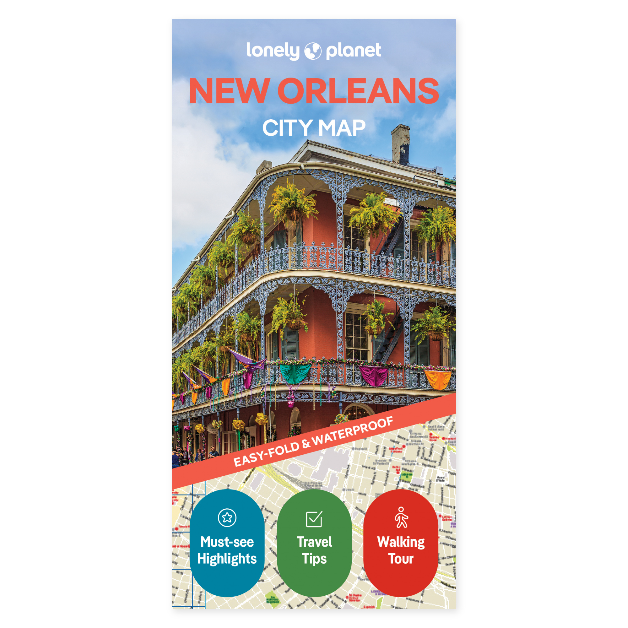
See the possibilities on the map. New Orleans makes it tempting to let one stop lead to another. Lonely Planet’s city map gives you a physical overview you can use to plan the day’s visit, compare possible routes, and choose where to spend a little extra time.
Plan your own trip. Jazz on Frenchmen Street and a stroll through Audubon Park are among the experiences highlighted in the official description. The map combines a colour overview with practical travel information and tips. It is a natural supplement to a city guide when you want to see how the places you are looking forward to visiting lie in relation to one another.
Made to bring along. The foldable map is water-resistant and easy to unfold. You get a physical overview that can be used both before departure and along the way, without having to pull out a screen. Lay the map out with your travel companions and see how the places you plan to visit lie in relation to one another.
Feel free to choose a few main stops and use the overview to explore possible detours. The map can be kept out while you discuss the next stage, or brought along to follow up on plans during the trip.
About this edition. Map with English text, published 2025. 2nd edition. ISBN 9781787015999.