
Description
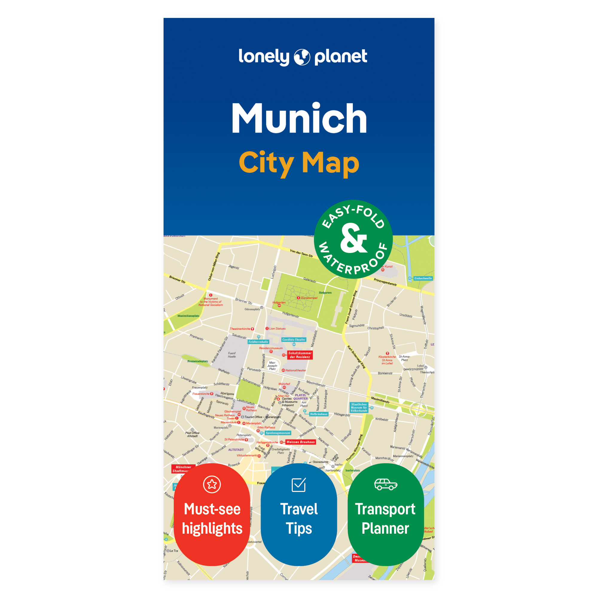
Explore the possibilities on the map. See how Munich’s areas connect before choosing your daily route. Lonely Planet’s city map provides a physical overview you can share with your travel companions, accommodating both planned visits and spontaneous detours when curiosity strikes.
Plan your own trip. The map’s coverage includes Altstadt, Maxvorstadt, Schwabing, Englischer Garten, Haidhausen, Lehel, Nymphenburg, Neuhausen, Olympiapark, Westend, and Theresienwiese. A street and place index, transport map, and suggested walking routes support exploration. Use it to group multiple visits within the same area and experience the city as more than a series of individual destinations.
Designed for portability. The foldable map is water-resistant and easy to unfold. It offers a physical overview usable both before departure and during your trip, without needing a screen. Lay out the map with your travel companions to visualize the relative locations of your desired destinations.
Select a few main stops and use the overview to investigate potential detours. The map can remain open while you discuss the next leg of your journey, or be carried with you as you follow your plans.
About this edition. Map with English text, published 2024. 2nd edition. ISBN 9781787015944.