

Do you really need paper charts in your boat?
Most of us navigate today with a chartplotter or mobile phone.
Map apps are easy to use, always available – and usually work very well.
But at sea, “as a rule” is not always good enough.
Many people get by with an app – until it doesn’t work.
Why many people still use paper maps
Paper maps are not about nostalgia. It’s about overview – and control.
Better overview
A paper map gives you the whole area at once.
You see waters, shipping lanes and alternatives – without zooming in and out.
Always working
Papirkart is independent of power, coverage and technology.
It’s there when you need it.
A safe backup
If something fails, you’re still in control.
It’s an extra security – not a replacement.
Do you need to have paper charts in your boat?
There is no requirement for paper charts in leisure boats in Norway. However, as a boater, you are responsible for ensuring proper navigation.
According to the rules of the road, you must use all available aids to assess the situation and avoid danger.
What that means in practice:
You need access to reliable navigation – even if one solution fails.
That’s why many people choose to have paper charts as part of their safety on board.
Which map should you choose?
There are several types of nautical charts – adapted to different needs, waters and types of sailing.
- Recreational nautical charts (for leisure boats and coastal sailing)
- Official nautical charts (detailed charts for navigation and sailing)
Recreational nautical charts – a favorite among recreational boaters
Recreational nautical charts cover large parts of the coast from Gothenburg to Steinkjer, and are designed specifically for leisure boats.
They combine accurate information about depths and beacons with practical information such as:
- marinas
- guest ports
- bathing places
- toilets and open spaces
- archipelago parks and nature reserves
The maps are delivered as map folders with several map sheets and are well suited for day trips, vacations and sailing along the coast.
⚠️ Important to know
The Norwegian recreational nautical charts are about to disappear from the market.
Nordic Maps (formerly Nordeca) has chosen not to update or print new editions, and what is available today is a remaindered edition.
Kart.no has purchased what is left of these maps. You may therefore want to secure the maps that are still available.
Norwegian recreational nautical charts that are still in stock:
-
Out of stock – alternatives available
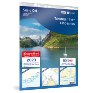
04-Torungen Fyr-Lindesnes Båtsportkart
43,03 € Read more -
In stock

06-Stavanger-Ryfylke S Båtsportkart
47,42 € Add to cart -
In stock
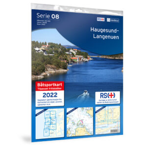
08-Haugesund-Langenuen Båtsportkart
43,03 € Add to cart -
In stock
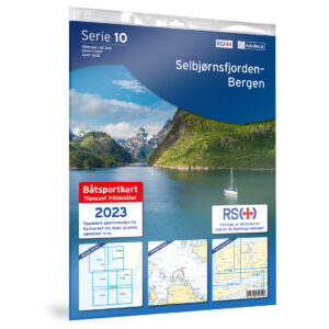
10-Selbjørnsfjorden-Bergen Båtsportkart
43,03 € Add to cart -

12-Ytre Sula-Værøy-Dalsfjorden Båtsportkart
43,03 € Read more -
Out of stock – alternatives available
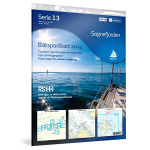
13-Sognefjorden
54,72 € Read more -
Out of stock – alternatives available
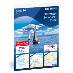
14-Stavenes-Sunnfjord-Florø Båtsportkart
54,72 € Read more -
In stock
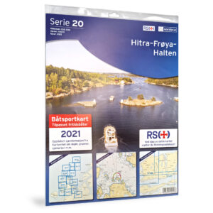
20-Hitra-Frøya-Halten Båtsportkart
43,03 € Add to cart -
In stock
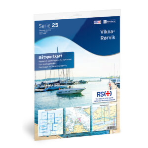
25-Vikna-Rørvik Båtsportkart
43,03 € Add to cart
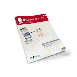
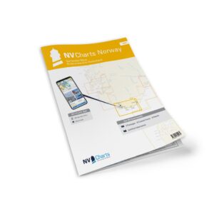
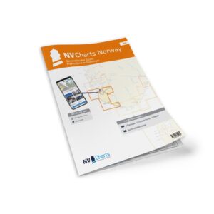
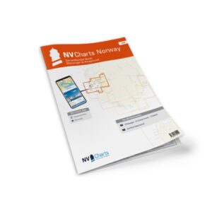
A good alternative: NV Charts
For the section from Haugesund to Strømstad, there is an updated alternative.
The recreational nautical charts from NV Charts are modern charts based on up-to-date data, and several of the releases have been updated in 2026 with new map data from the Swedish Mapping Authority.
-
In stock
NV Charts NO1 Oslo–Tønsberg
89,95 € Add to cart -
In stock

NV Charts NO2 Oslofjord Sør
89,95 € Add to cart -
In stock

NV Charts NO3 Sørlandet øst
89,95 € Add to cart -
In stock
NV Charts NO4 Sørlandet vest
89,95 € Add to cart -
In stock
NV Charts NO5 Sørvestlandet
89,95 € Add to cart -
In stock
NV Charts NO6 Sørvestlandet nord
89,95 € Add to cart -
In stock
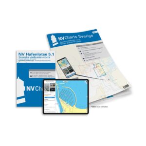
NV Charts SE 5.1 Svenska västkusten norra
79,99 € Add to cart -
In stock
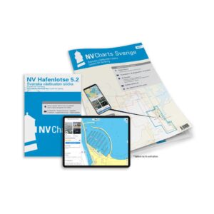
NV Charts SE 5.2 Svenska västkusten södra
79,99 € Add to cart -
In stock
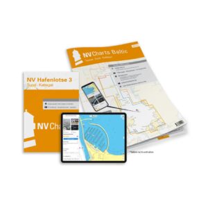
NV Charts Baltic Region 3 Samsø–Sund–Kattegat
79,99 € Add to cart
Official charts – for full coverage
For the rest of the Norwegian coast, the Norwegian Mapping Authority’s official nautical charts apply.
These are delivered as Print on Demand (POD), and are printed when ordered with the latest available updates.
You can choose between:
- Master map – high level of detail for coastal navigation
- Coastal map – overview for longer stages
- Port map – detailed approach and maneuvering
- Overtaking map – for open sea stretches
The maps cover the entire coast – from the Swedish border to Grense Jakobselv.
The maps are printed as Print on Demand (POD), which means they are produced on demand – with the latest updates available.
At Kart.no, these maps are produced continuously and shipped directly from stock in Norway.
From 2026, this also includes nautical charts for Denmark, the Faroe Islands and Greenland, which can now be delivered with the same update level and delivery time.
Charts for Sweden and Finland are also available via the online store. This provides easy access to up-to-date nautical charts for the entire Nordic region – all in one place.
Harbor Guides and Pilot Books
Harbor guides and pilot books are an important supplement to nautical charts – especially for those planning longer trips or visiting new areas.
They provide detailed information about:
- harbors and marinas
- anchorages
- approaches
- local conditions and tips
Developed for both leisure boats and long-distance sailors, the guides provide a safer and more predictable sailing experience – whether you’re following the coast or setting out on longer legs.
See an overview of all port guides and pilot books
Maps, guides and navigation – all in one place
Good navigation is rarely about one solution alone.
Most combine digital tools with experience – but many also choose to keep paper charts and other physical tools on board for peace of mind.
Choosing the right map, understanding the difference between map types – and knowing what actually suits the trip you’re going on – requires knowledge.
Nautisk Fritid is today a part of Kart.no.
The expertise from there is continued, with experience from delivering nautical charts and nautical publications to both leisure boats and professional users since 2012.
At Kart.no you will find a wide selection of:
- nautical charts for the Norwegian coast, the Nordics and the rest of the world
- port guides and pilot books
- nautical publications and navigation equipment
The goal is simple:
To make it easier to choose the right map – and navigate more safely.