


Norwegian Polar Institute · Polar landscapes
Maps of Svalbard and Antarctica
Find topographic field maps and hiking maps of Svalbard, alongside maps of Antarctica. Explore Norwegian Polar Institute sheets and choose by area, scale and intended use.
For Svalbard, the range includes detailed local maps, S100 sheets and regional S250 maps. Select Antarctic maps according to their specific geographical coverage.
S100 · Terrain detail
The main Svalbard series is at 1:100,000. The Bear Island sheet is at 1:50,000. Choose the sheet covering your fieldwork or hiking area.
S250 and local maps
Regional maps at 1:250,000 provide a wider overview. Longyearbyen and its surroundings have a dedicated local map at 1:50,000.
The wider polar range
The Norwegian Polar Institute page also brings together overview maps, poster maps, wildlife guides and books.
Explore the Norwegian Polar Institute →All maps of Svalbard and Antarctica
Check the map sheet, scale and edition on the product page. Coverage and intended use vary between products.
-
In stock

Kapp Payer E7
11,45 € Add to cart -
In stock

Kongsfjorden A7
11,45 € Add to cart -
In stock

Kongsøya H7
11,45 € Add to cart -
In stock

Krossfjorden A6
11,45 € Add to cart -
In stock

Kvalpyntfonna E11
11,45 € Add to cart -
In stock

Kvalvågen C11
11,45 € Add to cart -
In stock

Kvitøya J3
11,45 € Add to cart -
In stock

Leighbreen G3
11,45 € Add to cart -
In stock

Lomfjord Peninsula D5
11,45 € Add to cart -
In stock
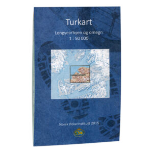
Longyearbyen and surroundings
22,97 € Add to cart -
In stock

Magdalenefjorden A5
11,45 € Add to cart -
In stock

Markham Glacier C12
11,45 € Add to cart -
In stock
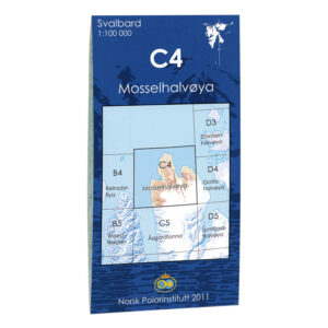
Mosselhalvøya C4
11,45 € Add to cart -
In stock

Negribreen D8
11,45 € Add to cart -
In stock
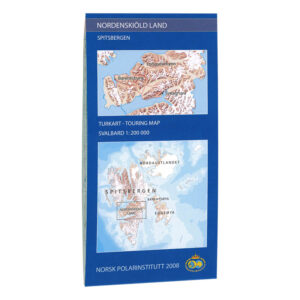
Nordenskiöld Country
11,45 € Add to cart -
In stock
Nordenskiöld Country
19,13 € Add to cart -
In stock

Nordenskiöldbukta E2
11,45 € Add to cart -
In stock
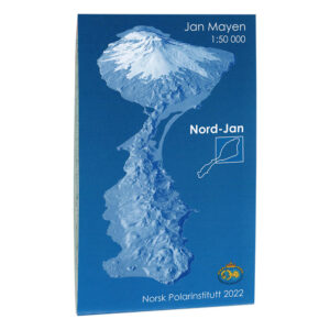
North Jan
11,45 € Add to cart -
In stock

Northeastern Svalbard (S250)—Sheet 4
16,82 € Add to cart -
In stock

Northern Svalbard (S250) – Sheet 3
16,82 € Add to cart -
In stock

Northwest Svalbard (S250) – Sheet 2
16,82 € Add to cart -
Low stock
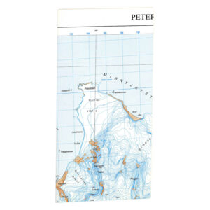
Peter I Øy
11,45 € Add to cart -
In stock

Prins Karls Forland A8
11,45 € Add to cart -
Low stock

Queen Maud Land
13,75 € Add to cart -
In stock

Reindeer flya B4
11,45 € Add to cart -
In stock

Repøyane F2
11,45 € Add to cart -
In stock

Rijpfjorden E3
11,45 € Add to cart -
In stock

Sjuøyane E1
11,45 € Add to cart -
In stock

Snøtoppen D2
11,45 € Add to cart -
In stock

South Cape C13
11,45 € Add to cart
Which map type suits your polar destination?
A topographic map of a limited area shows different detail from an overview of all Svalbard or Antarctica. Choose for the specific area and check scale and edition before ordering. Poster and wall maps are intended for overview and display; nautical charts are a separate map type for waters. The product description explains the edition and format supplied.
Visiting Svalbard? Explore our complete Svalbard page with maps, books and nautical charts →