Official Nautical Charts – General Charts and Sea Areas
Here you will find official nautical charts for larger sea areas and passage between coastal stretches. The charts are developed by national hydrographic offices and provide reliable information for navigation in open waters, along the coast, and between countries.
In this category, we have collected general passage charts from Kartverket, Geodatastyrelsen, and BA Charts, among others. The charts are well-suited for planning longer voyages, providing an overview of busy sea areas and ensuring safe navigation at sea. Use the filter to find charts by publisher.
-
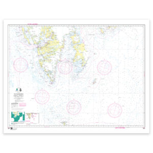
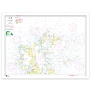
Kartverket Nautical Chart 505 – INT 9311 / Svalbard
From 22,74 €
Select options -
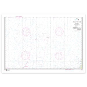
Kartverket Nautical Chart 506 – INT 9312 / Barents Sea
From 22,74 €
Select options -
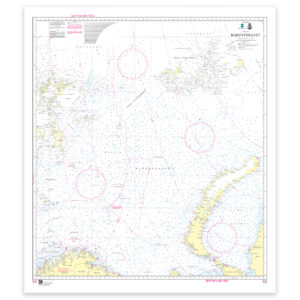
Kartverket Nautical Chart 514 – INT 933 / Barents Sea
From 22,74 €
Select options -
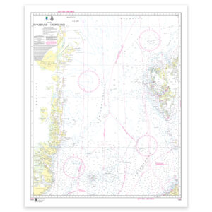
Kartverket Nautical Chart 515 – INT 932 / Svalbard – Greenland
From 22,74 €
Select options -
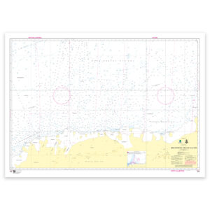
Kartverket Nautical Chart 550 – INT 904 / Dronning Maud Land
From 22,74 €
Select options -
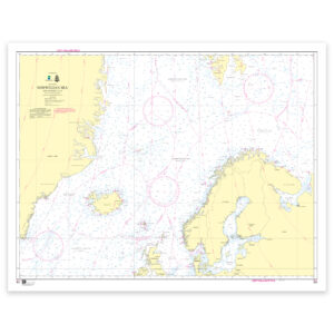
Kartverket nautical charts 300 – INT 10 / Norwegian Sea
From 22,74 €
Select options -
Norwegian Mapping Authority Nautical Chart 507 – INT 9313 / Svalbard. North Svalbard
From 22,74 €
Select options