Description
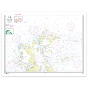
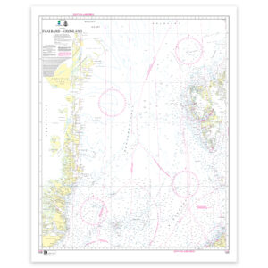
Nautical chart covering the waters of Svalbard – Greenland. Map sheet 515 in the Norwegian Mapping Authority’s sailing chart series. The map is 97 x 81 cm and has a scale of 1:2,000,000. Can also be delivered on a plate or framed. Size with passepartout and frame is 118 x 101 cm.
The map covers Svalbard – Greenland and is designed for those who need an up-to-date nautical chart for active use along the coast. The coverage is particularly useful if you are looking for nautical charts for this particular area and want a clear overview of local waters and nearby coastlines.
Map sheet 515 in the Norwegian Mapping Authority’s sailing chart series. With a scale of 1:2,000,000 and a size of 97 x 81 cm, you get a nautical chart that is easy to read and well suited for both use and overview. Since the map is printed when ordered as print-on-demand, you will receive a product with the latest available updates from the Mapping Authority.
The map base is based on official data from the Swedish Mapping Authority, making this a reliable choice for those who want up-to-date nautical charts.
The choice of material can be adapted to the application. 125 gram map paper is thin, matt and space-saving, and is ideal as a spare map. 180-gram chart paper is a carefully selected, matt and sturdy paper that is ideal for active use of the chart on board. If the map is to be used in harsh environments, Tyvek is a very durable alternative. For framing and decoration, art paper is an exclusive choice with a clear structure and high quality.
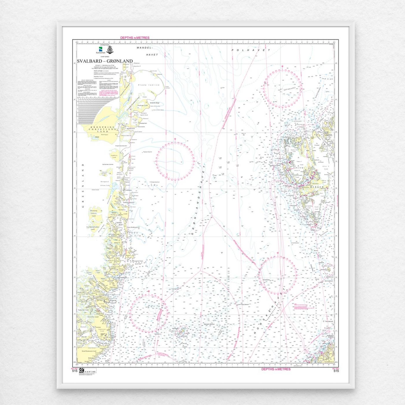
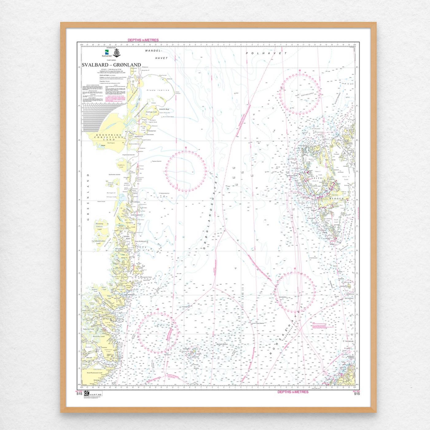
If you want a ready-to-hang solution, the map can be delivered pre-framed or mounted on aluminum plate. This also makes it suitable as a wall map. Size with passepartout and frame is 118 x 101 cm.