Denmark’s Official Nautical Charts – Geodatastyrelsen Print on Demand (POD)
Denmark’s official nautical charts from Geodatastyrelsen are delivered as Print on Demand (POD) and printed upon order with the latest available updates.
The charts cover Danish waters – including the North Sea, Kattegat, Øresund, and the Baltic Sea – and are used for both recreational sailing and professional navigation.
Kart.no is an official supplier of POD nautical charts from Geodatastyrelsen in Denmark.
Find the correct chart before ordering
Unsure which chart number you need? Use Geodatastyrelsen’s chart overview to find the correct chart, then order here at Kart.no.
Kart.no is an official supplier of Print on Demand (POD) nautical charts from Geodatastyrelsen.
Open Geodatastyrelsen’s chart overview
Opens in a new tab (experience.arcgis.com)
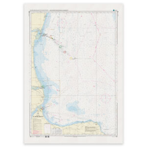
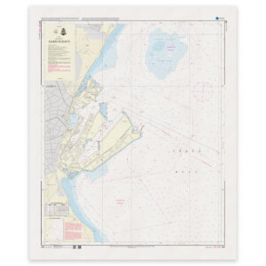
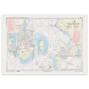
Approach and Passage Charts
Detailed charts for safe navigation when approaching, passing through, and in busy waters – with clear information on leading lines, depths, and marks.
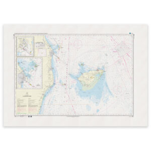
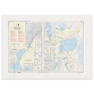
Coastal Charts
Coastal charts adapted for sailing along the Danish coast and between harbors – suitable for planning and safe navigation in coastal waters.
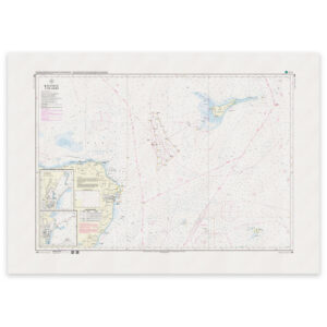
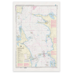
Overview Charts
Charts of larger sea areas for overall route planning – useful for longer legs and for creating a comprehensive overview.
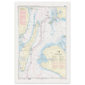
Special and Great Circle Charts
Charts for specific navigation purposes, including great circle charts for long-distance planning and other special editions from Geodatastyrelsen.
-
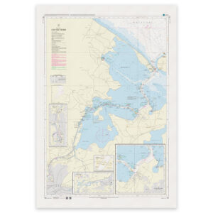
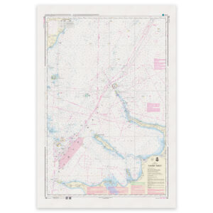
Denmark Chart 115 – Kattegat, Odense Fjord
32,98 € Add to cart -
Denmark Chart 116 – Kattegat, Isefjord
32,98 € Add to cart -
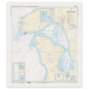
Denmark Chart 117 – Roskilde Fjord, Lynæs-Frederikssund
32,98 € Add to cart -

Denmark Chart 118 – Roskilde Fjord, Frederikssund-Roskilde
32,98 € Add to cart -
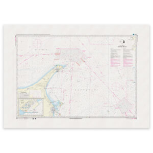
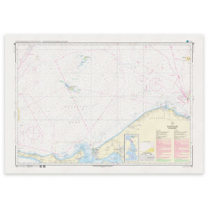
Denmark Chart 121 – Kattegat, Ålbæk Bay (INT 1378)
32,98 € Add to cart -
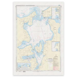
Denmark Chart 122 – Kattegat, Aalborg Bay
32,98 € Add to cart -
Denmark Chart 123 – Kattegat, Læsø Rende
32,98 € Add to cart -
Denmark Chart 124 – Kattegat, S for Anholt
32,98 € Add to cart -
Denmark Chart 127 – Port of Aarhus (INT 137
32,98 € Add to cart -
Denmark Chart 128 – Kattegat, Samsø Belt (INT 1379)
32,98 € Add to cart -
Denmark Chart 129 – Kattegat, SE part
32,98 € Add to cart -
Denmark Chart 131 – Strait, northern part
32,98 € Add to cart -
Denmark Chart 132 – Strait (Southern part)
32,98 € Add to cart -
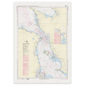
Denmark Chart 133 – Sound, middle part (INT 1333)
32,98 € Add to cart -
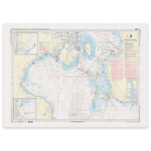
Denmark Chart 134 – Port of Copenhagen
32,98 € Add to cart -
Denmark Chart 141 – Great Belt, northern part (INT 1370)
32,98 € Add to cart -
Denmark Chart 142 – Great Belt, southern part (INT 1368)
32,98 € Add to cart -
Denmark Chart 143 – Great Belt, Sprogø-Langeland (INT 1369)
32,98 € Add to cart