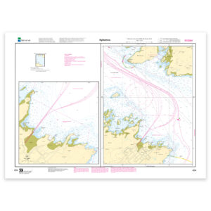
Norway’s Official Nautical Charts – Norwegian Mapping Authority Print on Demand (POD)
Norway’s official nautical charts from the Norwegian Mapping Authority are delivered as Print on Demand (POD) and printed upon order with the latest available updates.
The charts cover the entire Norwegian coast – from the Swedish border to Grense Jakobselv – and are used for both recreational sailing and professional navigation.
Choose between traditional chart paper or water- and tear-resistant Tyvek.
Find the correct chart before ordering
Not sure which chart number you need? Use the Norwegian Mapping Authority’s overview map to find the correct chart sheet, then order here at Kart.no.
Open the Norwegian Mapping Authority’s chart overview
Opens in a separate tab (norgeskart.no)
Main Charts
Large scale and high level of detail – for safe navigation along the coast and in the archipelago.
Coastal Charts
Overview of larger areas – well suited for planning and sailing between regions.
Harbour Charts
Details for approach and harbor – essential for arrival, maneuvering, and mooring.
Passage Charts
For longer passages and open sea stretches – support for crossings and route selection.