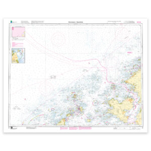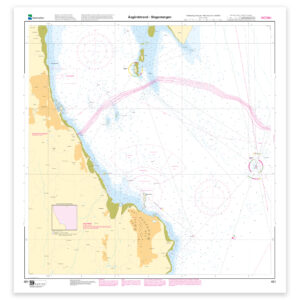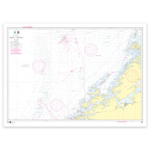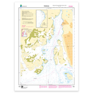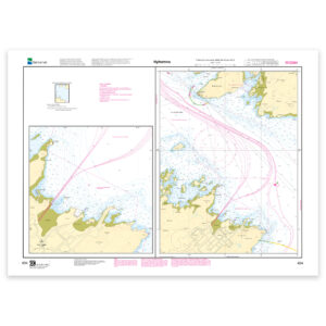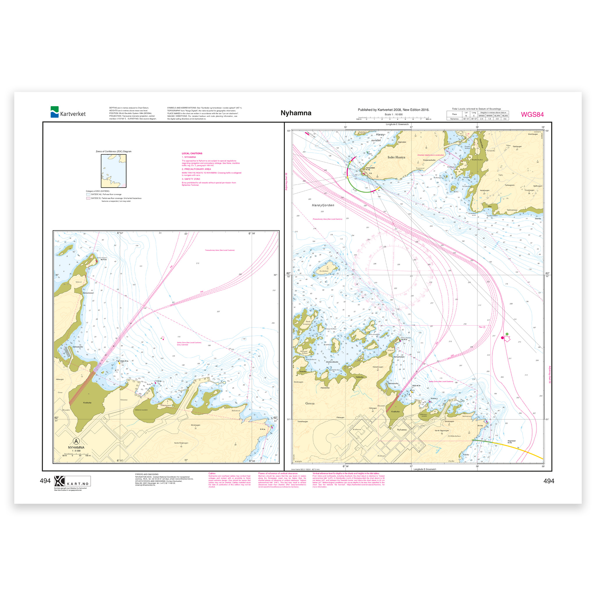
Description
Nautical chart covering the waters of Nyhamna. Map sheet 494 in the Norwegian Mapping Authority’s harbor map series. The map is 55 x 76 cm and has a scale of 1:10,000. Can also be delivered on a plate or framed. Size with passepartout and frame is 76 x 96 cm.
This Kartverket nautical chart covers Nyhamna and is ideal for recreational boaters, sailors and others who travel in the area. The coverage is particularly useful for those who are looking for nautical charts for this particular area, and who want a clear overview of local waters and nearby coastlines.
Map sheet 494 in the Norwegian Mapping Authority’s harbor map series. The scale of 1:10,000 provides a good balance between level of detail and overview, and the size of 55 x 76 cm makes the map practical to use. This nautical chart is produced when ordered, so you get a fresh edition with updated information from the Mapping Authority.
The nautical chart is based on official data from the Norwegian Mapping Authority and is designed for those who want quality, precision and up-to-date map information.
You can choose from several high-quality materials. Map paper 125 grams is a good choice as a backup map because it’s lightweight, takes up little space and is ideal for storing multiple maps. Map paper 180 grams is more robust and best suited for active use, especially when you want to note routes or your own updates in the map. For rougher conditions, there’s Tyvek, a water- and tear-resistant material that can withstand moisture and hard use. If you want the map for walls or framing, art paper in cotton-based rag paper is an exclusive alternative with a great structure and very long life.
The map can also be delivered framed, with passepartout, or mounted on aluminum plate. This makes it just as suitable for use as a wall map in your home, cabin or office. Size with passepartout and frame is 76 x 96 cm.