Recreational nautical charts Norway – Nordic Maps and NV Charts
Recreational nautical charts for Norway give you a detailed overview of the coastline, harbors, fairways and navigation information for recreational boats. At kart.no you’ll find a wide range of recreational nautical charts for the Norwegian coast, including the popular series from Nordic Maps and modern charts from NV Charts.
For many years, Nordic Maps has been among the most sought-after recreational nautical charts in Norway. Several titles in the series have now been discontinued and will not be reprinted. If a map is out of stock, you will find recommended alternatives on the product page.
NV Charts covers the coastline from Haugesund to the Swedish border, and further through Sweden and Europe. For other parts of the Norwegian coast, please refer to the available options in the product overview.
See the available recreational nautical charts below and select the right coverage for your area.
-
In stock
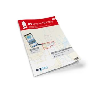
NV Charts NO2 Oslofjord South
92,20 € Add to cart -
In stock

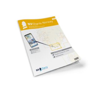
NV Charts NO3 Southern Norway East
92,20 € Add to cart -
In stock
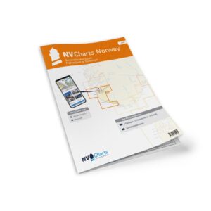
NV Charts NO4 Southern Norway West
92,20 € Add to cart -
In stock
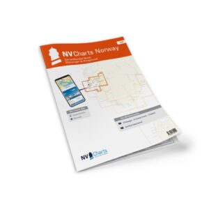
NV Charts NO5 Southwest Norway
92,20 € Add to cart -
In stock
NV Charts NO6 Southwest Norway North
92,20 € Add to cart