-
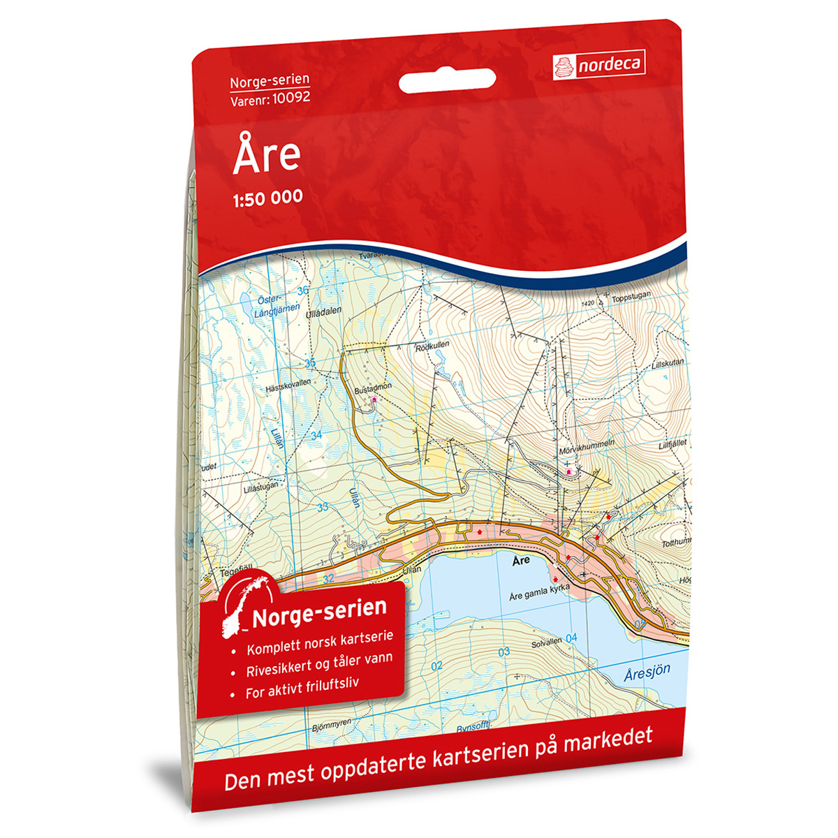
Åre Norway Series Hiking Map
Detailed hiking map of Åre in the Norway Series – the classic red hiking maps that have been a trusted companion in Norwegian backpacks for generations. The maps are systematically divided with overlaps to adjacent maps, ensuring good continuity as you move through the terrain.
-
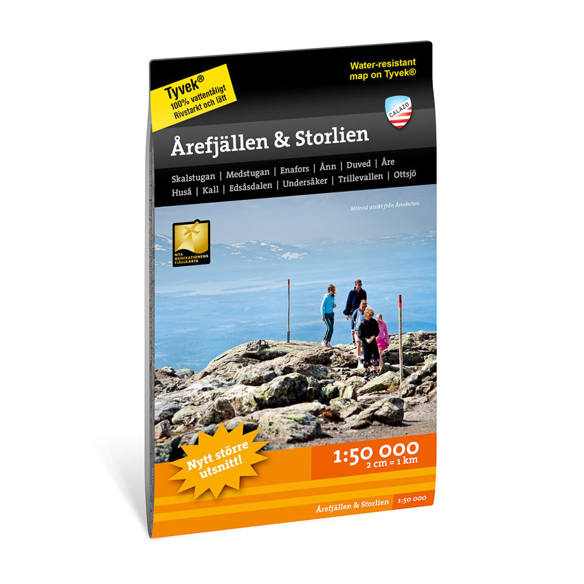
Årefjällen & Storlien 1:50,000
Detailed hiking map of Årefjällen and Storlien at a scale of 1:50,000. The map is suitable for hiking and skiing in the mountain areas around Åre and Storlien.
-
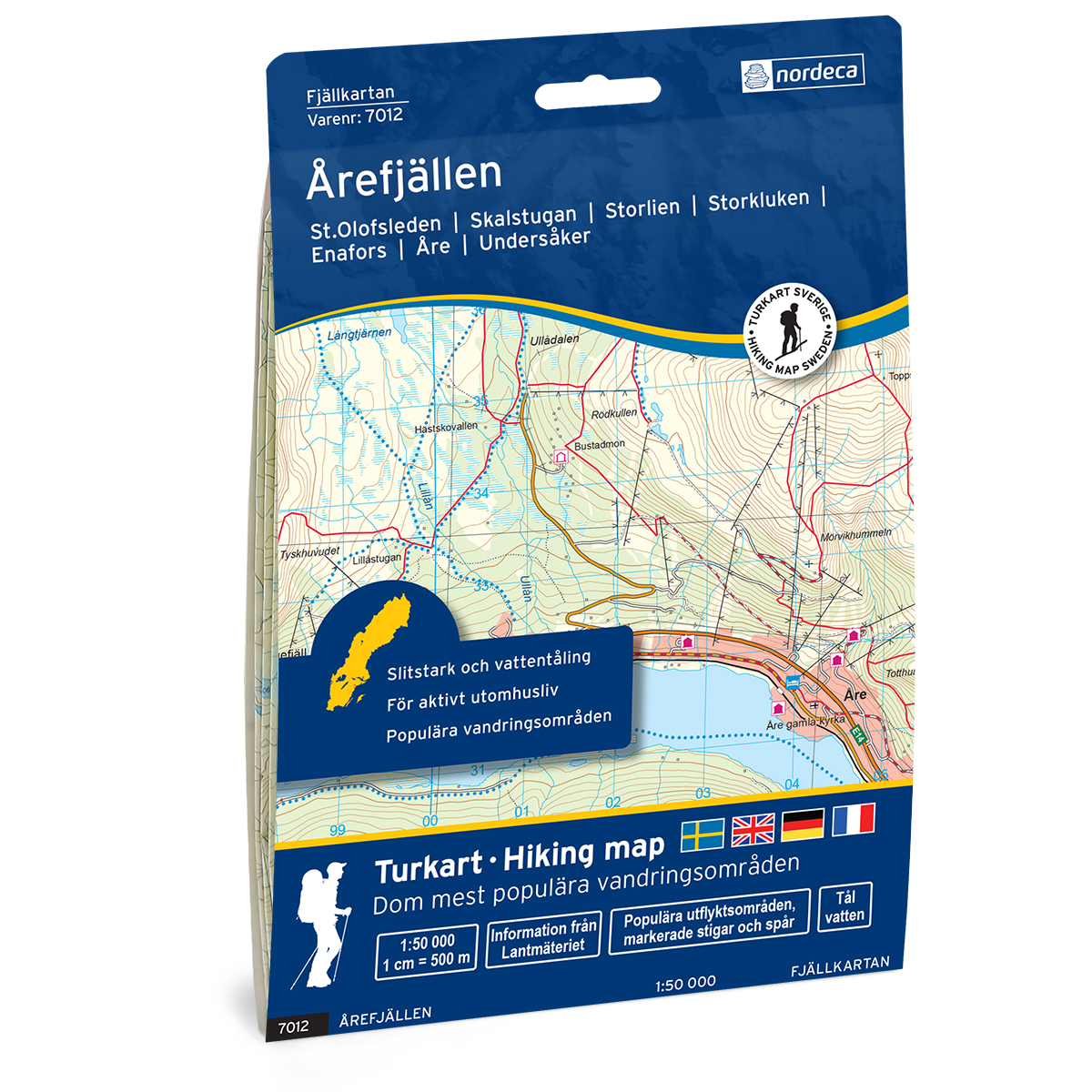
Årefjällen Swedish Mountain Map
Detailed mountain map of Årefjällen Swedish Mountain Map, developed by Nordic Maps (formerly Nordeca). The map is well suited for hiking and mountain trekking in Swedish mountain areas.
-
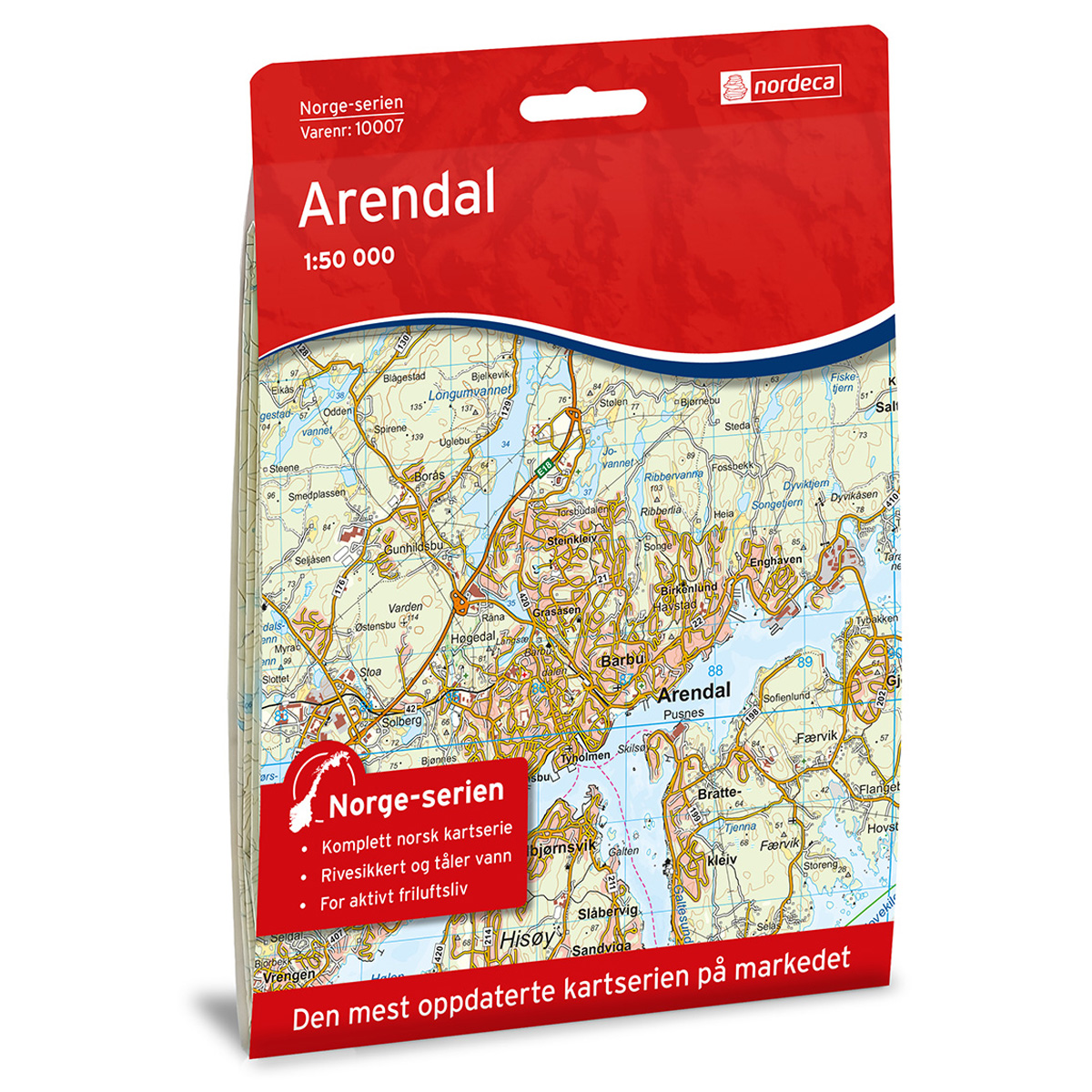
Arendal Norway Series Hiking Map
Detailed hiking map of Arendal in the Norway Series – the classic red hiking maps that have been a trusted companion in Norwegian backpacks for several generations. The maps are systematically divided with overlap to adjacent maps, which provides good continuity as you move through the terrain.
-
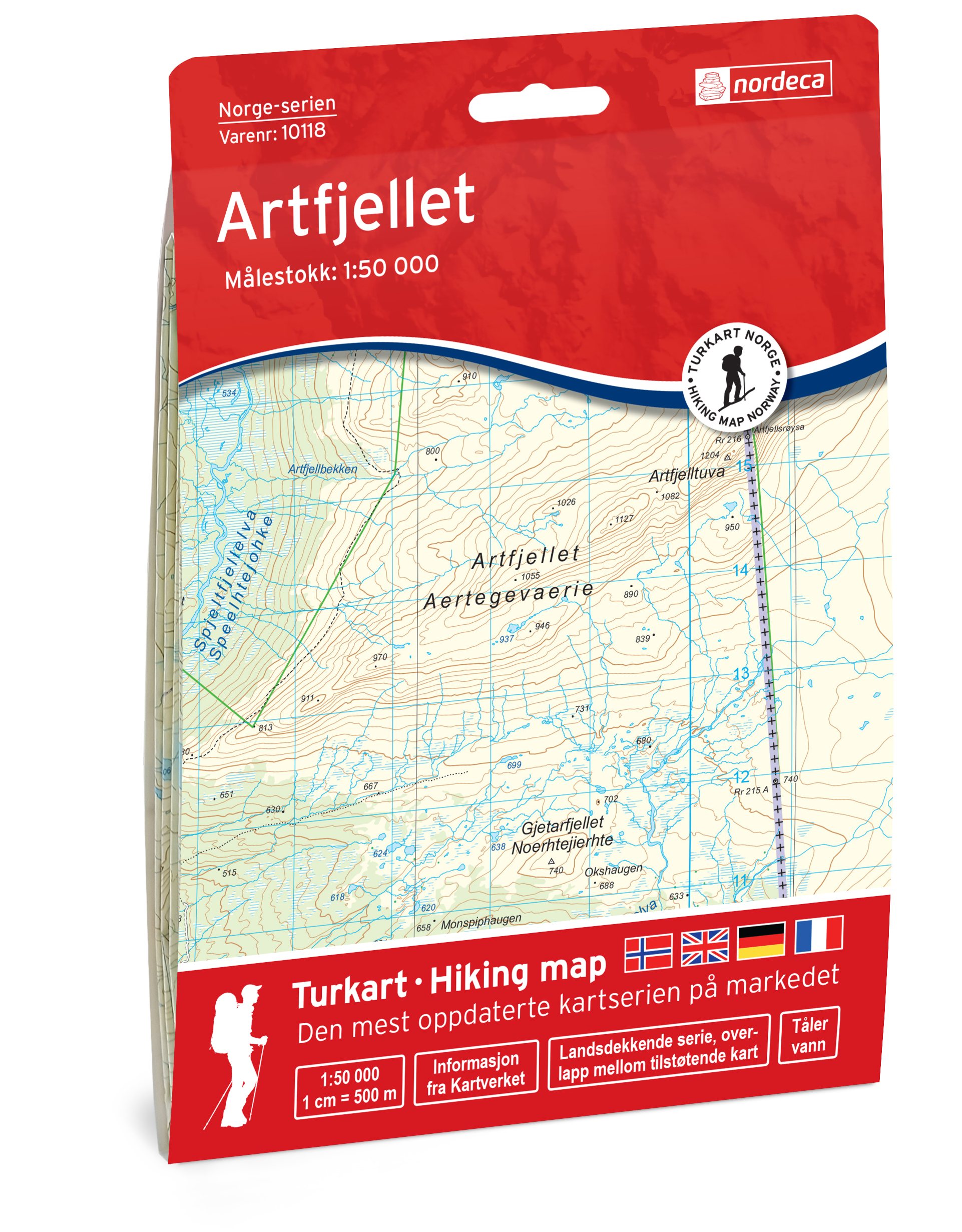
Artfjellet Norway Series Hiking Map
Detailed hiking map of Artfjellet in the Norway Series – the classic red hiking maps that have been a faithful companion in Norwegian backpacks for generations. The maps are systematically divided with overlaps with adjacent maps, providing excellent continuity as you move through the terrain.
-
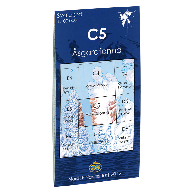
Åsgardfonna C5
Map in scale 1:100000 from the Norwegian Polar Institute.
-
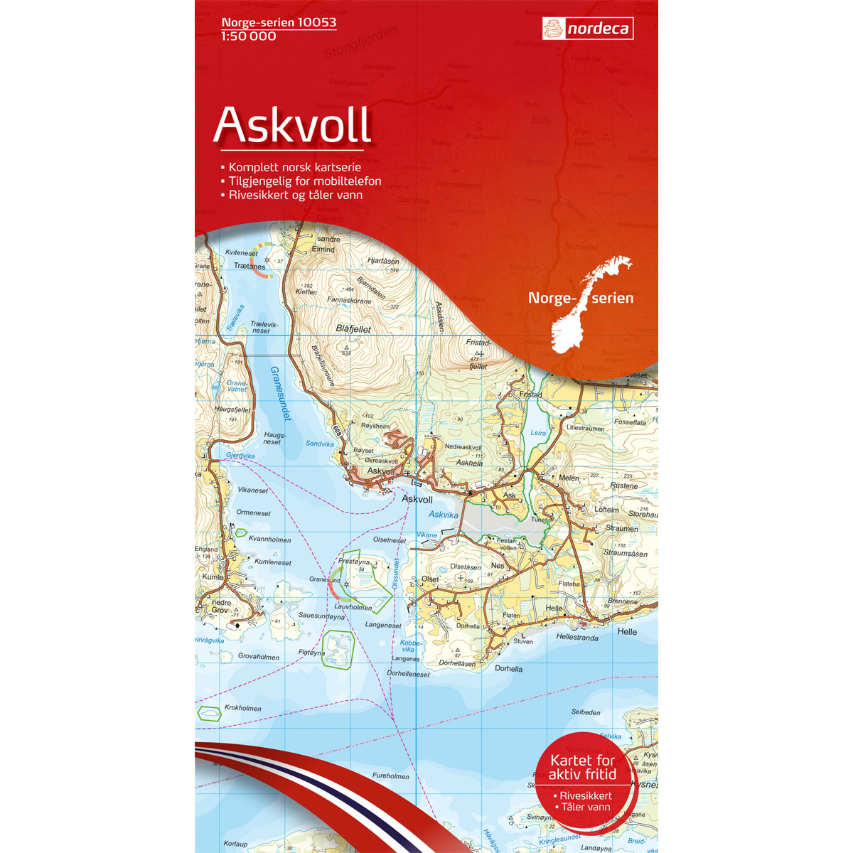
Askvoll Norway Series Hiking Map
Detailed hiking map of Askvoll from the Norway Series – the classic red hiking maps that have been a trusted companion in Norwegian backpacks for generations. The maps are systematically divided with overlaps to adjacent maps, ensuring good continuity as you move through the terrain.
-
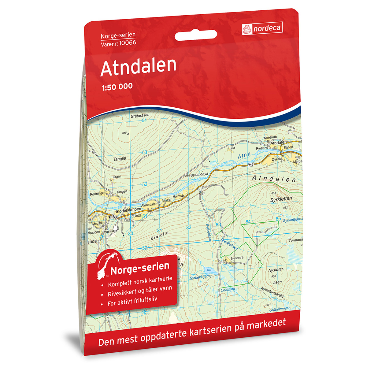
Atndalen Norway Series Hiking Map
Detailed hiking map of Atndalen in the Norway Series – the classic red hiking maps that have been a faithful companion in Norwegian backpacks for generations. The maps are systematically divided with overlaps between adjacent maps, providing seamless continuity as you move through the terrain.
-
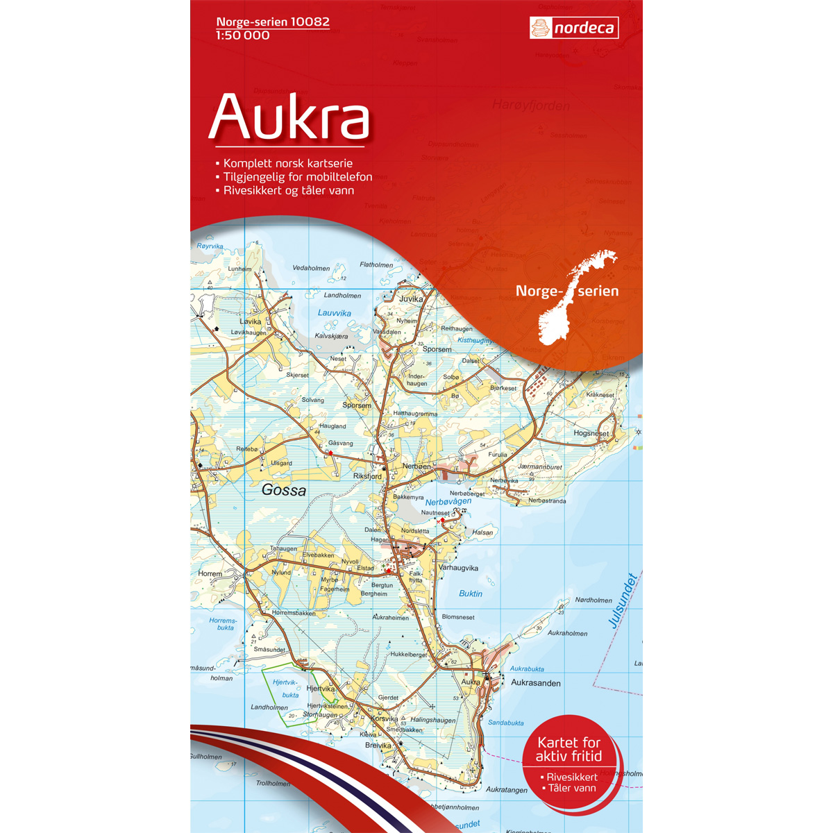
Aukra Norway Series Hiking Map
Detailed hiking map of Aukra in the Norway Series – the classic red hiking maps that have been a faithful companion in Norwegian backpacks for generations. The maps are systematically divided with overlaps with adjacent maps, providing seamless continuity as you move through the terrain.
-
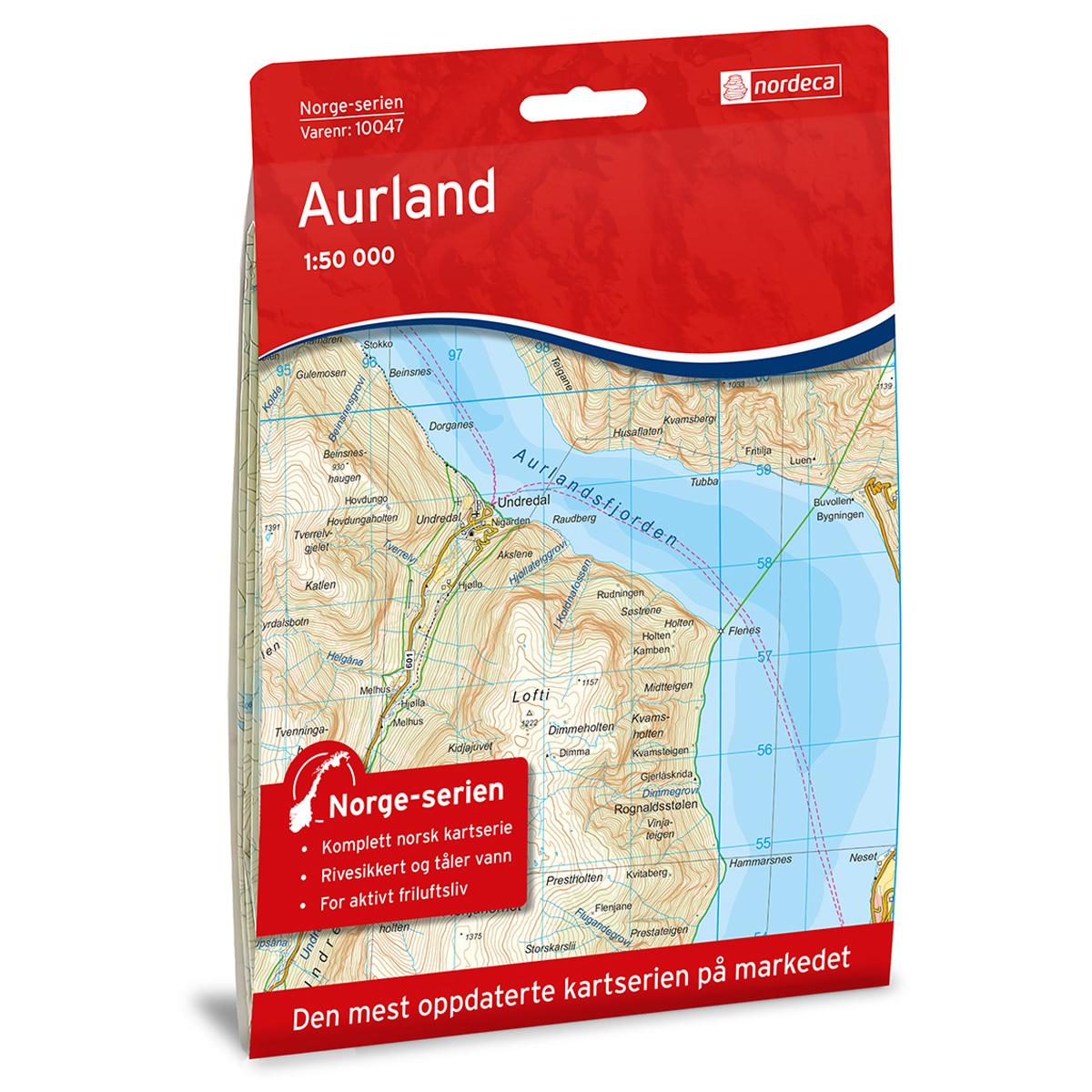
Aurland Norway Series Hiking Map
Detailed hiking map of Aurland in the Norway Series – the classic red hiking maps that have been a trusted companion in Norwegian backpacks for generations. The maps are systematically divided with overlaps to adjacent maps, ensuring good continuity as you move through the terrain.
-
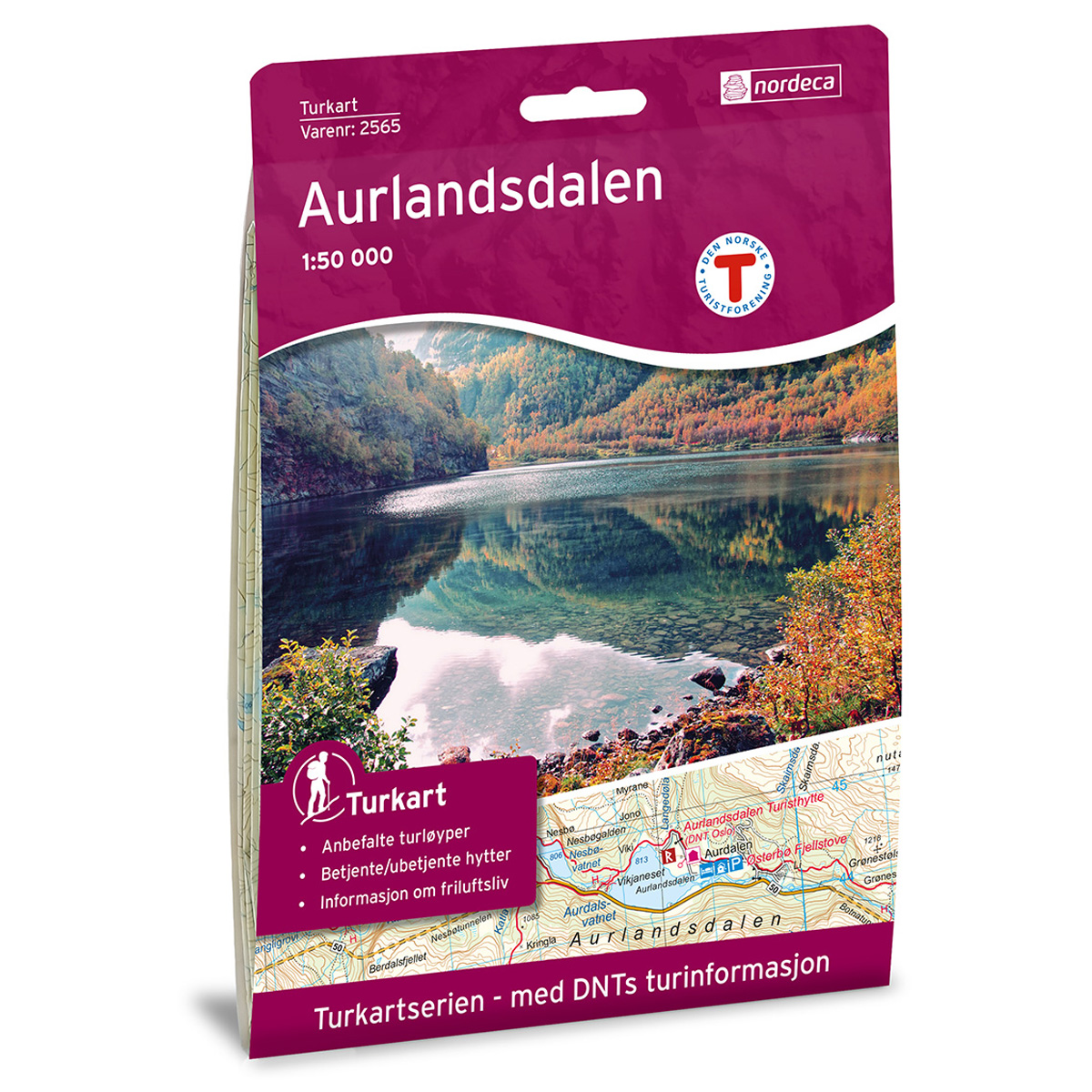
Aurlandsdalen DNT Turkart
Detailed hiking map of Aurlandsdalen, developed by Nordic Maps (formerly Nordeca) in collaboration with the Norwegian Tourist Association. DNT Hiking Maps have been the preferred choice for hikers for decades, known for their excellent readability, thoughtful design, and practical information tailored for active outdoor life.
-
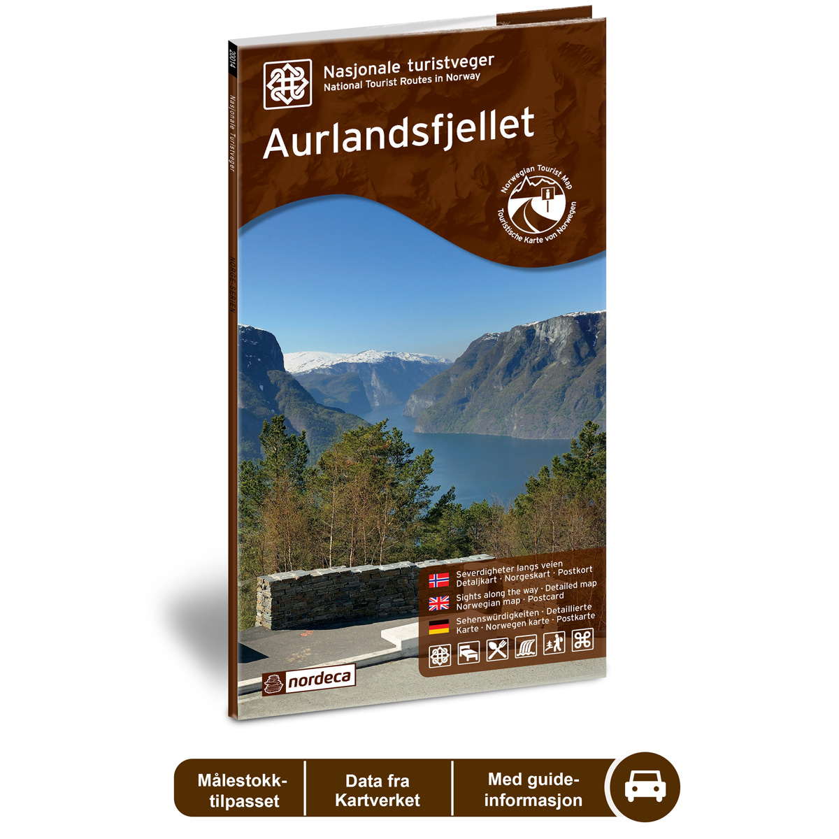
Aurlandsfjellet National Tourist Routes
Road guide for a car journey along Aurlandsfjellet, with an overview of the route, sights, and experiences along the way.
-
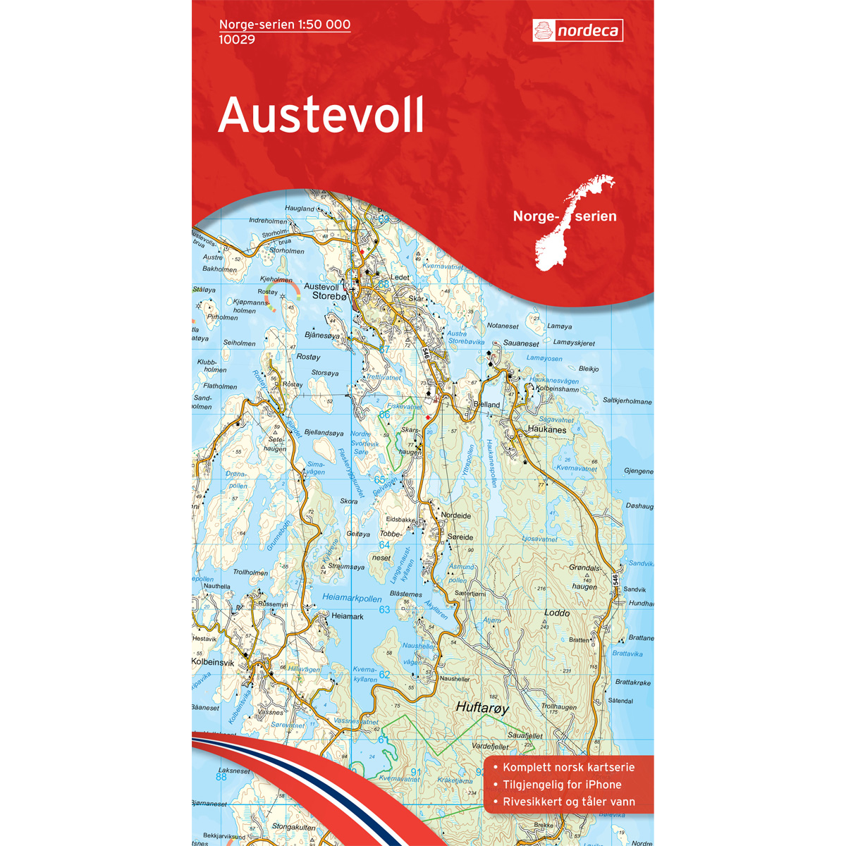
Austevoll Norway Series Hiking Map
Detailed hiking map of Austevoll in the Norway Series – the classic red hiking maps that have been a faithful companion in Norwegian backpacks for generations. The maps are systematically divided with overlaps for adjacent maps, providing seamless continuity as you move through the terrain.
-
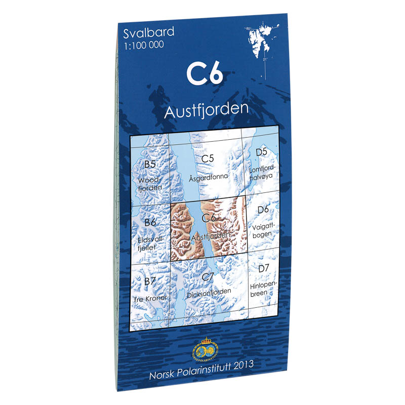
Austfjorden C6
Map in scale 1:100000 from the Norwegian Polar Institute.
-
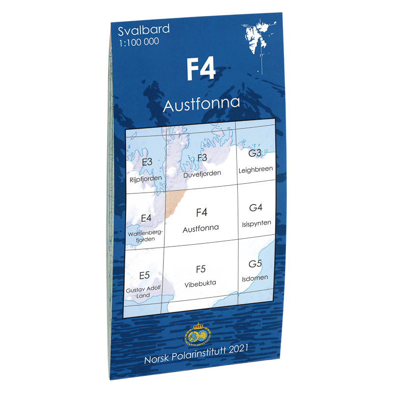
Austfonna F4
Map in scale 1:100000 from the Norwegian Polar Institute.
-
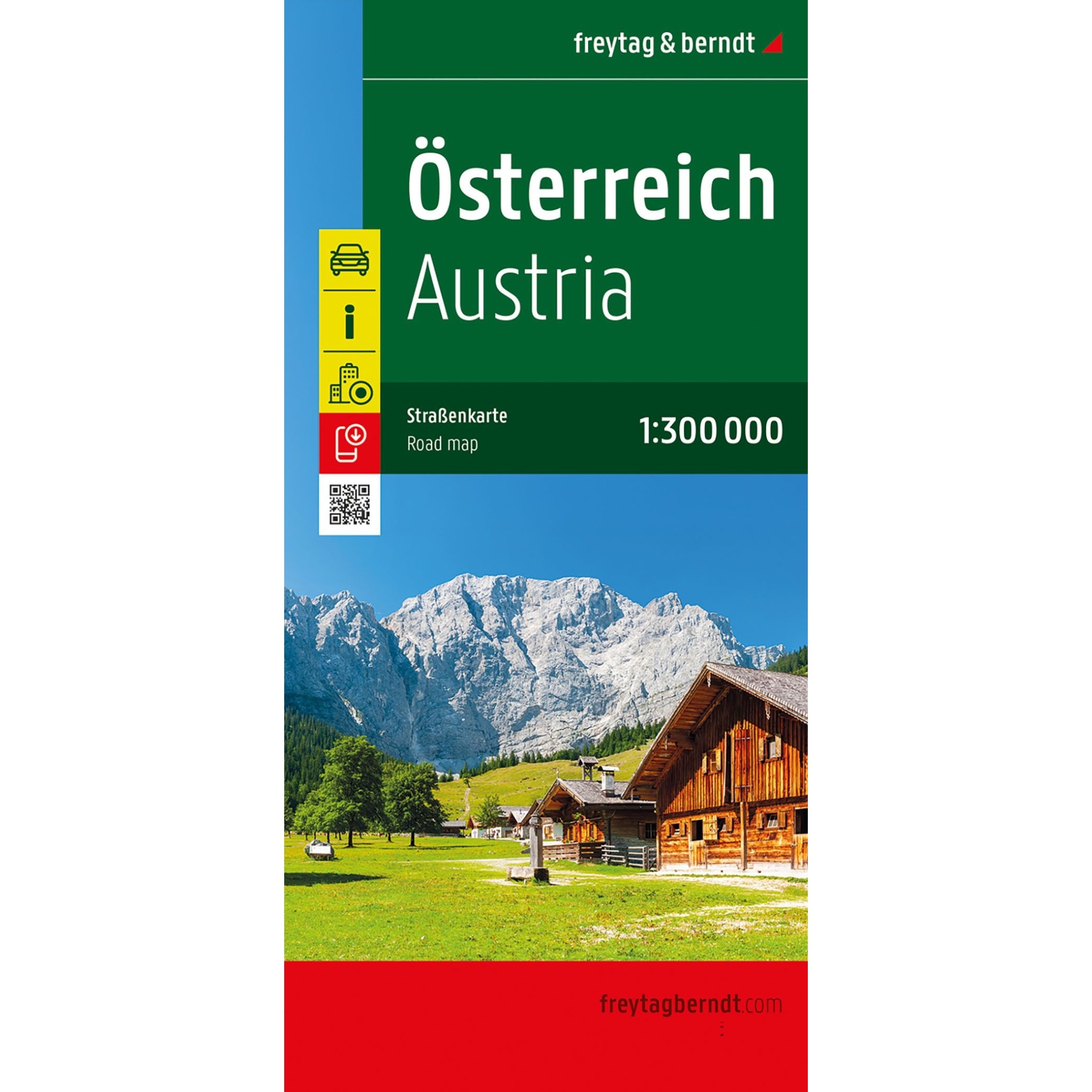
Austria – roadmap (multilingual)
Clear road map of Austria with clear road network, tourist information and campsites. A practical map for car and motorhome travel.
-
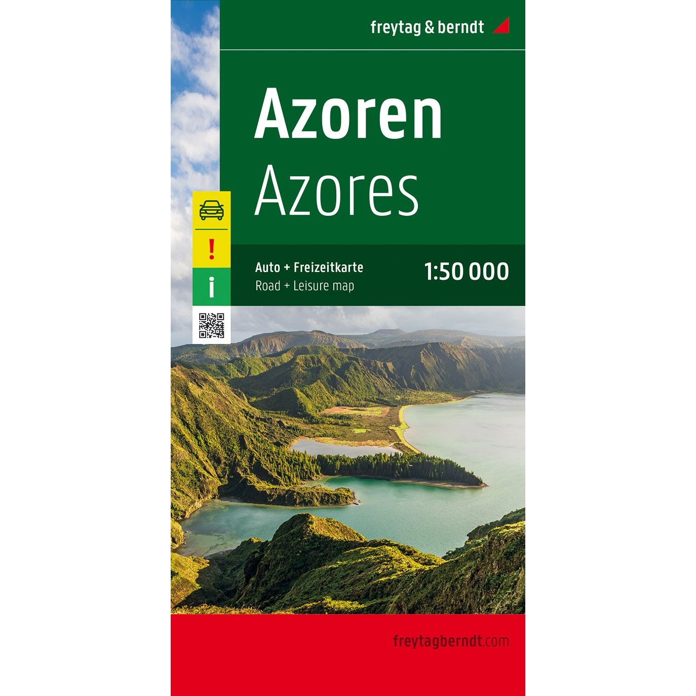
Azores – road map (multilingual)
Detailed and highly detailed road map of the Azores at a scale of 1:50,000, designed for road trips, motorcycle tours and travel by motorhome or caravan. The map provides a precise overview of the road network, distances and important excursion destinations on the archipelago. The map contains tourist information, camping and motorhome sites, city maps…
-
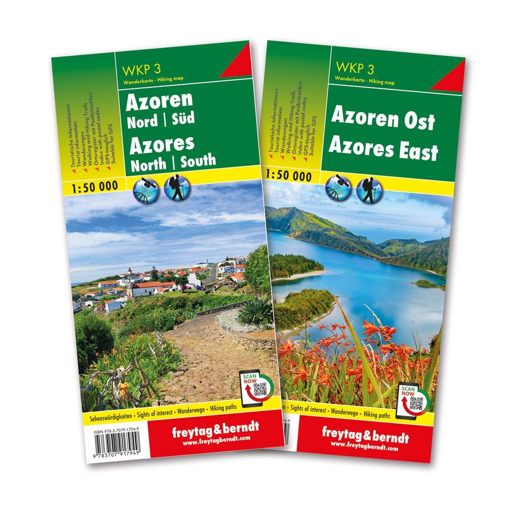
Azores – walking map set (multilingual)
Detailed 1:50,000 scale hiking map set of the Azores, designed for hiking, nature experiences and active vacations. The set consists of two map sheets that together cover the archipelago, with clearly marked hiking routes, sights and terrain details. The maps are GPS-adapted and are well suited for both planning and use on trips.
-
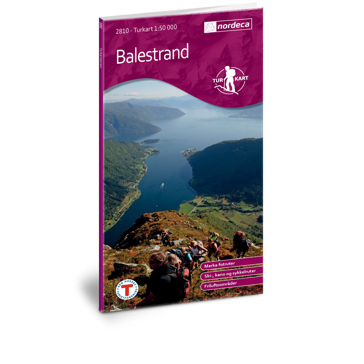
Balestrand DNT Hiking Map
Detailed hiking map of Balestrand, developed by Nordic Maps (formerly Nordeca) in collaboration with the Norwegian Trekking Association. DNT Hiking Maps have been the preferred choice for hikers for decades, known for their excellent readability, thoughtful design, and practical information tailored for active outdoor life.
-

Balkans and South East Europe – roadmap (multilingual)
Clear road map of the Balkans and Southeast Europe with clear road network, distances and tourist information. Well suited for travel and planning.