Official Nautical Charts – Faroe Islands
-
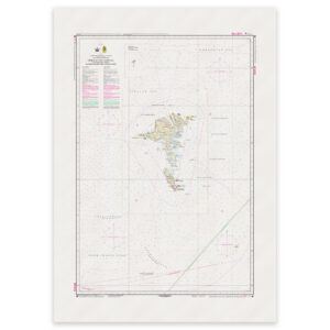
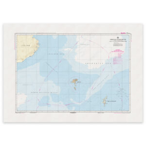
Faroe Islands Chart 80 – Waters around the Faroe Islands
32,91 € Add to cart -
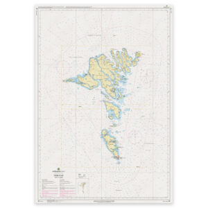
Faroe Islands Chart 81 – Føroyar (Faroe Islands)
32,91 € Add to cart -
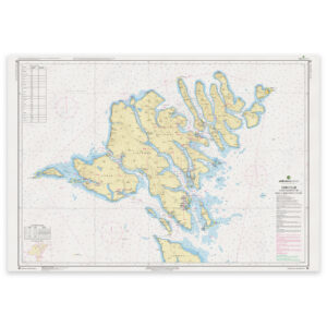
Faroe Islands Chart 82 – Northern Part (Føroyar Norđari partur)
32,91 € Add to cart -
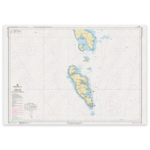
Faroe Islands Chart 83 – Southern Part (Føroyar Sunnari partur)
32,91 € Add to cart -
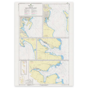
Faroe Islands Chart 84 – Harbors and Anchorages, Northwestern Part (Streymur)
32,91 € Add to cart -
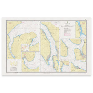
Faroe Islands Chart 85 – Harbors and Anchorages, Northeastern Part (Funningsfjørður)
32,91 € Add to cart -
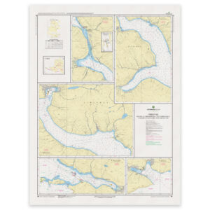
Faroe Islands Chart 86 – Tórshavn Harbors and Anchorages (Southern Part)
32,91 € Add to cart -
Faroe Islands Chart F – Faroe Islands with Maritime Zones
32,91 € Add to cart