Official Swedish Nautical Charts
Swedish nautical charts are official paper charts used for navigation in Swedish and surrounding waters.
Produced using authoritative hydrographic data, these charts are designed to support safe and accurate navigation in coastal and offshore environments. The Swedish chart series provides detailed maritime information for commercial shipping, leisure boating, and professional maritime operations.
- Coastlines and topography
- Depths, shoals, and underwater hazards
- Shipping lanes and recommended routes
- Navigational aids, lighthouses, and markings
- Ports, anchorages, and essential maritime information
-
In stock
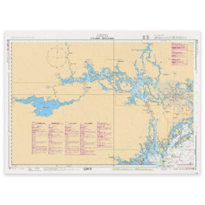
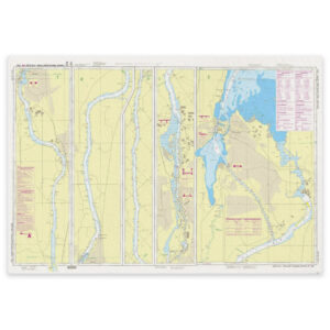
SE 10 Lake Mälaren – Hjälmaren
29,29 € Add to cart -
Low stock
SE 111 Maelaren, Eastern part
29,29 € Add to cart -
Low stock
SE 112 Maelaren, Northern part
29,29 € Add to cart -
Low stock
SE 113 Maelaren, Vestra Delen
29,29 € Add to cart -
In stock
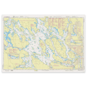
SE 1131 Galten
29,29 € Add to cart -
Low stock
SE 1133 Aggarösundet-Hjulstafjärden
29,29 € Add to cart -
Low stock
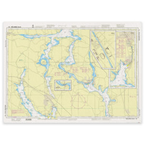
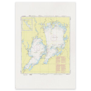
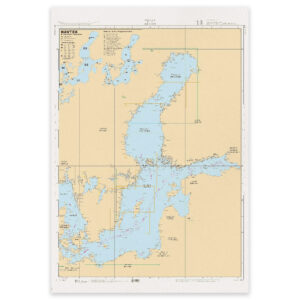
SE 114 Hjælmaren
29,29 € Add to cart -
Low stock
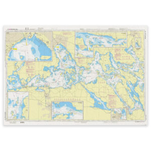
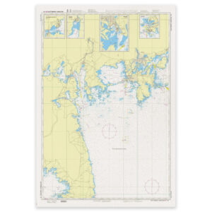
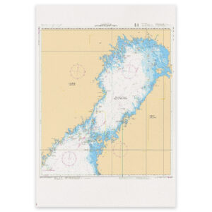
SE 121 Vaettern
29,29 € Add to cart -
In stock
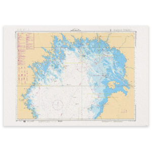
SE 13 Lake Vänern
29,29 € Add to cart -
Low stock
SE 131 Vaenern, Slottsbron – Karlstad
29,29 € Add to cart -
Low stock
SE 132 Vaenern, Karlstad – Kristinehamn
29,29 € Add to cart -
Low stock
SE 133 Vaenern, Otterbaecken – Mariestad – Lurø
29,29 € Add to cart -
Low stock
SE 1331 Lurö
29,29 € Add to cart -
Low stock
SE 134 Vaenern, Arvika – Saeffle – Køpmannebro
29,29 € Add to cart -
Low stock
SE 135 Vaenern, Køpm. Bro – Vaenersb. – Lidkøping
29,29 € Add to cart -
Low stock
SE 1352 Göta älv – Trollhättekanal Södra
29,29 € Add to cart -
Low stock
SE 1353 Göta älv – Trollhättekanal Norra
29,29 € Add to cart -
Low stock
SE 2 Baltic Sea, Radio Beacons and Distances
29,29 € Add to cart -
Low stock
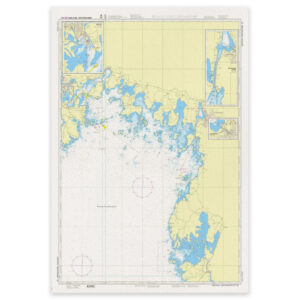
SE 4 Gulf of Bothnia
29,29 € Add to cart -
In stock
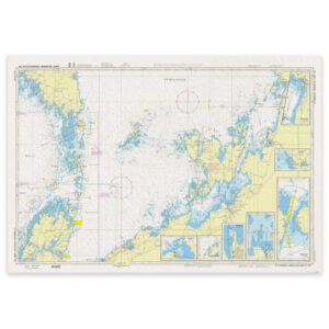
SE 41 Gulf of Bothnia, Northern part
29,29 € Add to cart