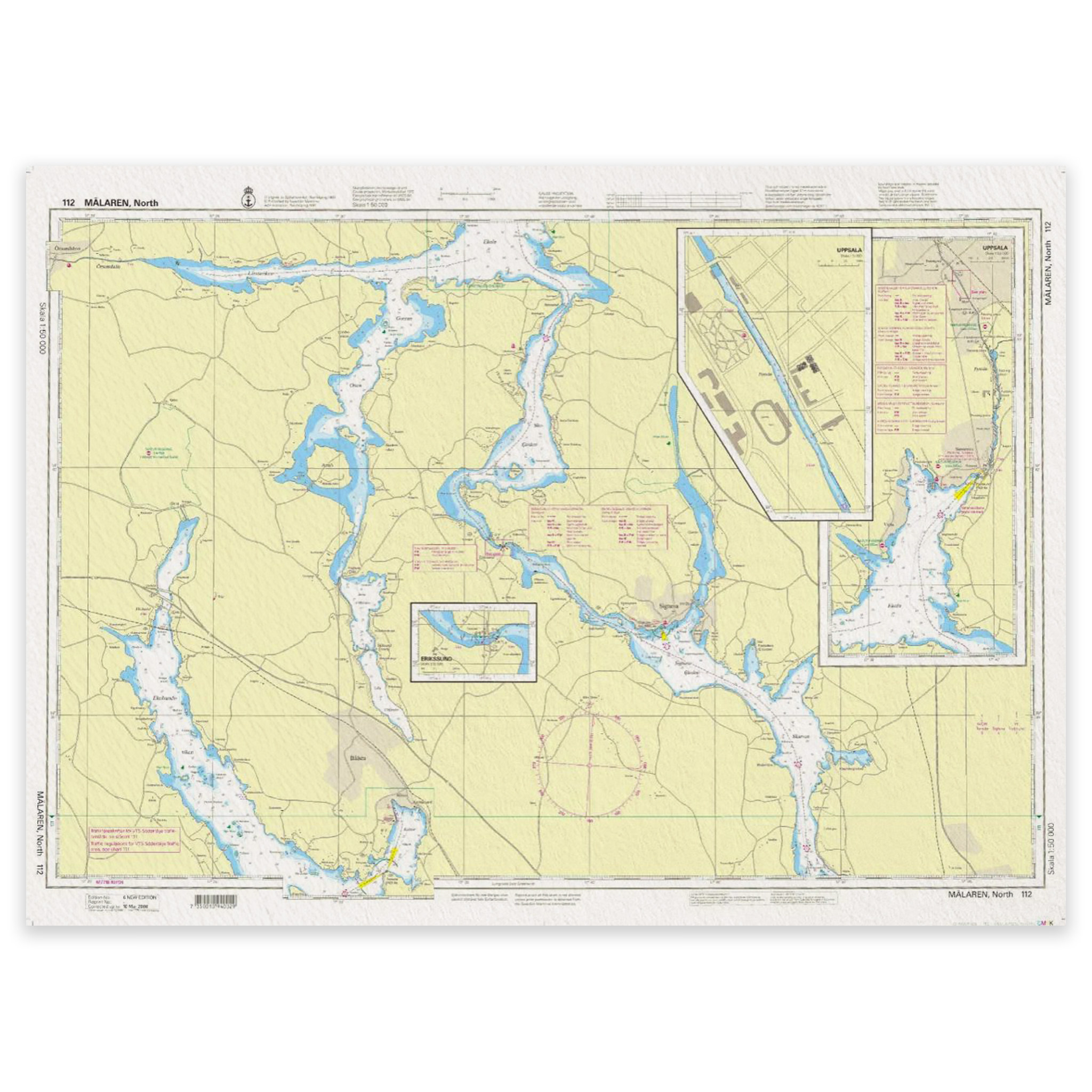
SE 112 Maelaren, Northern part

This map covers the area Maelaren, Norra Delen. It is an official archipelago chart published by the Swedish Mapping Authority (Sjöfartsverket). Archipelago charts are used for navigation in the archipelago and in coastal waters.

29,31 

1 in stock (can be backordered)

Swedish Maritime Administration

    Description

    Kart.no is an authorized dealer of official nautical charts from the Swedish Maritime Administration in Norway. Charts delivered from stock are always the latest updated edition. If a chart is not in stock, it is ordered directly from the Swedish Maritime Administration and sent from us as soon as we have received it.

Se også

  • In stockWeems & Plath LIGHTRule™ navigasjonslys-guide for identifikasjon av skiplys og signaler

    Weems & Plath LIGHTRule™ navigation light guide

    55,02 
    Add to cart
  • In stockLinex 83001 nautisk passer 7 tommer i metall (plain divider) for måling på sjøkart

    Linex Navigation passport 7″ (18 cm)

    29,02 
    Add to cart
  • In stockLinex parallellinjal 30 cm for navigasjon og kartarbeid

    Linex Parallel ruler 30 cm

    27,85 
    Add to cart
  • In stockWeems & Plath blyanter – 6 stk med blyantspisser

    Weems & Plath Pencils with pencil sharpener

    18,30 
    Add to cart