Hiking Maps – Svalbard and Antarctica
Explore some of the world’s most extreme environments with hiking maps from the Norwegian Polar Institute, available at Kart.no.
These maps are specifically designed for Svalbard and Antarctica, featuring precise topography and up-to-date information tailored to challenging conditions.
Whether you are planning an expedition or conducting research, these maps provide a reliable foundation for navigation in polar regions.
-
In stock
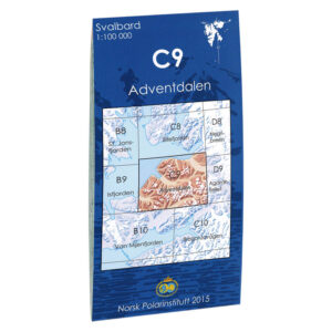
Advent Valley C9
11,00 € Add to cart -
In stock
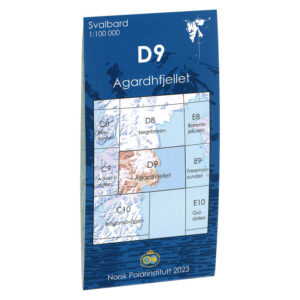
Agardhfjellet D9
11,00 € Add to cart -
In stock
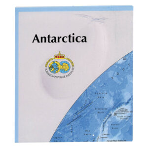
Antarctica
13,22 € Add to cart -
In stock
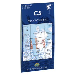
Åsgardfonna C5
11,00 € Add to cart -
In stock
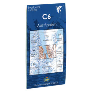
Austfjorden C6
11,00 € Add to cart -
In stock

Austfonna F4
11,00 € Add to cart -
In stock
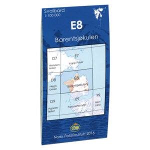
Barentsjøkulen E8
11,00 € Add to cart -
In stock
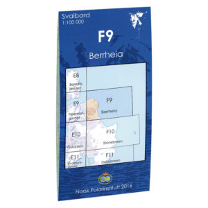
Berrheia F9
11,00 € Add to cart -
In stock
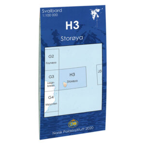
Big Island H3
11,00 € Add to cart -
In stock

Billefjorden C8
11,00 € Add to cart -
Low stock
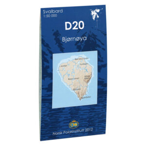
Bjørnøya D20
11,00 € Add to cart -
In stock
Bouvet Island
11,00 € Add to cart -
In stock
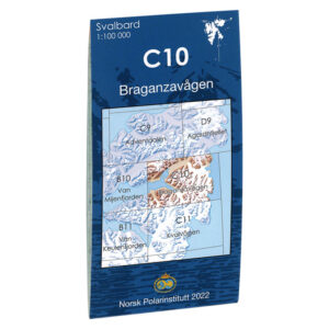
Braganza road C10
11,00 € Add to cart -
In stock
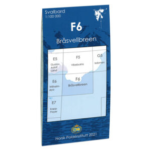
Bråsvellbreen F6
11,00 € Add to cart -
In stock
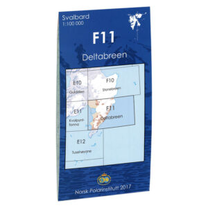
Deltabreen F11
11,00 € Add to cart -
In stock
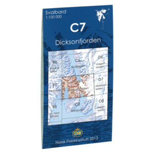
Dicksonfjorden C7
11,00 € Add to cart -
In stock

Duvefjorden F3
11,00 € Add to cart -
In stock
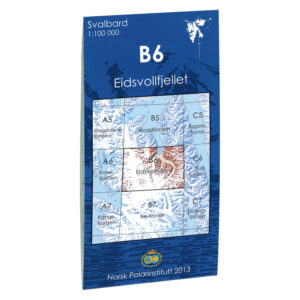
Eidsvollfjellet B6
11,00 € Add to cart -
In stock
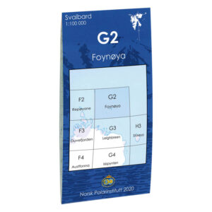
Foynøya G2
11,00 € Add to cart -
In stock
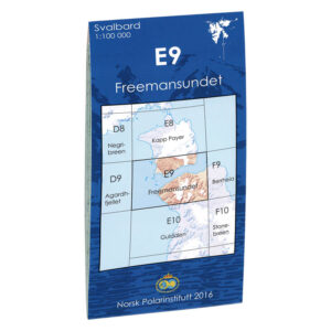
Freemansundet E9
11,00 € Add to cart