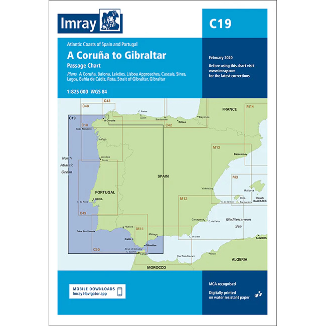
Description
This boating map covers the Atlantic coast of Spain and Portugal from A Coruña in the north to the Strait of Gibraltar in the south. The map provides a comprehensive overview of the coastline and includes key ports, harbors and approaches along the route, including Baiona, Leixões, Lisbon Inlet, Cascais, Sines, Lagos, Cádiz de Cádiz Ría and the area around Gibraltar.
The map is well suited for leisure boats and sailboats sailing along the Iberian Peninsula, either as a coastal voyage or as part of longer legs between the North Atlantic and the Mediterranean. The area is characterized by open stretches of sea, weather-prone coasts and significant current and wind conditions, and the map provides a solid basis for route planning and safe navigation.
Imray is a recognized British chart manufacturer with extensive experience in nautical cartography for leisure and long-distance sailing. Their charts are developed with a focus on high readability, practical use and clear presentation of navigation-relevant information.