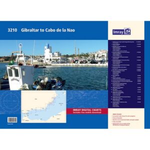
Description
Covering the Spanish Mediterranean coast from Cabo de la Nao to the French border, this chart pack provides a detailed representation of a varied and popular sailing area. The chart package is well suited for both planning and executing voyages, and provides a solid foundation for navigation along the entire east coast of Spain.
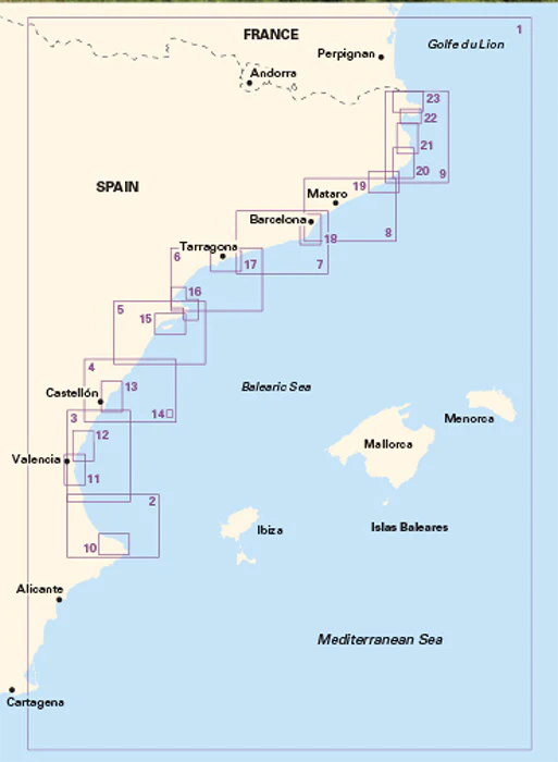
The maps cover the coastline from the areas around Jávea and Dénia in the south, via Valencia and Tarragona, and further north to Barcelona and Costa Brava up to the French border. The area includes both long open coastlines, delta areas such as the Ebro Delta, and more broken and hilly coastal stretches with many natural harbors and anchorages. A number of major cities and harbors are included, making the map package relevant for both longer voyages and more local coastal navigation.
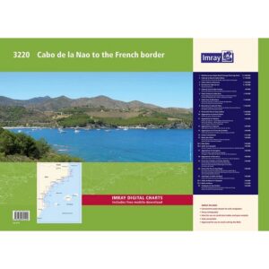
The map pack consists of 23 map sheets in A2 format, delivered in a sturdy plastic folder. The charts provide the necessary information for crossings, coastal navigation and detailed approaches to a large number of ports, marinas and recommended anchorages. In addition, comprehensive harbor plans and detailed sections are included to support you when calling and maneuvering.
The map pack includes the following coverage: overview charts for voyage planning along the northern parts of the Mediterranean Sea near Spain. The coastline from Cabo de la Nao to Cabo Cullera with harbor plans for Oliva and Gandía, among others. Further north along the coast via Castellón, Tarragona and Barcelona with a number of detailed port plans and approaches. The areas around the Ebro Delta and Golfo de L’Ampolla with associated ports and natural harbors. The coast north of Barcelona through the Costa Brava with detailed maps for Blanes, Palamós, Cadaqués and several smaller ports and anchorages. Finally, coverage all the way to the French border, including approaches and port plans along the northernmost part of the coast.
The map package is designed for convenient navigation and also includes access to digital maps via a mobile application. The clear cartography and high level of detail make it suitable for both planning and active use along the way.
Release year: 2019.