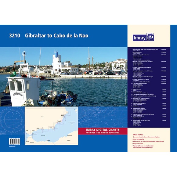
Description
Covering the Spanish Mediterranean coast from Gibraltar to Cabo de la Nao, this chart pack provides a detailed representation of one of the busiest and most varied sailing areas in Europe. The chart package is well suited for both planning and executing voyages, and provides a solid foundation for navigation along the coast of southern and eastern Spain.
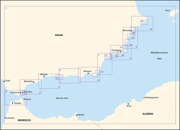
The charts cover the passage through the Strait of Gibraltar, including the entrance to Gibraltar, and follow the coastline along the Costa del Sol and Costa Blanca. The area includes everything from high cliffs and exposed stretches to more sheltered waters with good anchoring opportunities. Key areas such as Cabo de Gata, Mar Menor and the coast up to Dénia are thoroughly covered, with detailed information on ports, marinas and recommended anchorages.
The map package consists of 21 map sheets in A2 format, delivered in a sturdy plastic folder. The charts provide the necessary information for crossings, coastal navigation and access to more than 100 ports, marinas and anchorages. In addition, a number of detailed harbor plans are included, providing good support when calling and maneuvering in narrow waters.
The map pack includes the following coverage: overview charts for voyage planning in the southern Mediterranean Sea off Spain, including Isla de Alborán. Strait of Gibraltar with details for Puerto de Ceuta. The coastline from Gibraltar to Punta de Calaburras with port plans for Sotogrande, Estepona and Marbella, among others. Further coverage along the coast via Málaga, Motril and Almería with associated port plans. The areas around Cabo de Gata and further towards Cartagena with detailed approaches and port overviews. Mar Menor and the coast further north towards Alicante, including Torrevieja and Santa Pola. The coast from Alicante to Dénia and Cabo de la Nao with ports such as Altea, Calpe and Moraira. Also included are a number of detailed map sections and larger scale port plans for key areas and ports of call.
The map package is designed for convenient navigation and also includes access to digital maps via a mobile application. The clear cartography and high level of detail make it suitable for both planning and active use along the way.
Release year: 2020.