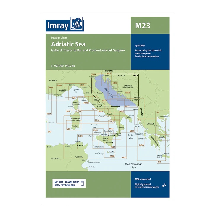
Description
This passage map from Imray covers the entire Adriatic Sea, from Golfo di Trieste in the north to Bar in the south, including Promontorio del Gargano on the Italian east coast. The map provides a comprehensive regional overview of the sailing routes between Italy, Slovenia, Croatia, Bosnia and Herzegovina, Montenegro and Albania.
Designed for long passages and route planning, the chart provides a clear overview of main waters, major ports and connections to adjacent Imray charts. It serves as an ideal complement to more detailed coastal and harbor charts for sailors planning longer voyages in the Adriatic.
Printed on water-resistant paper and produced to MCA-approved standards, with support for digital updates via the Imray Navigator app.