
Description
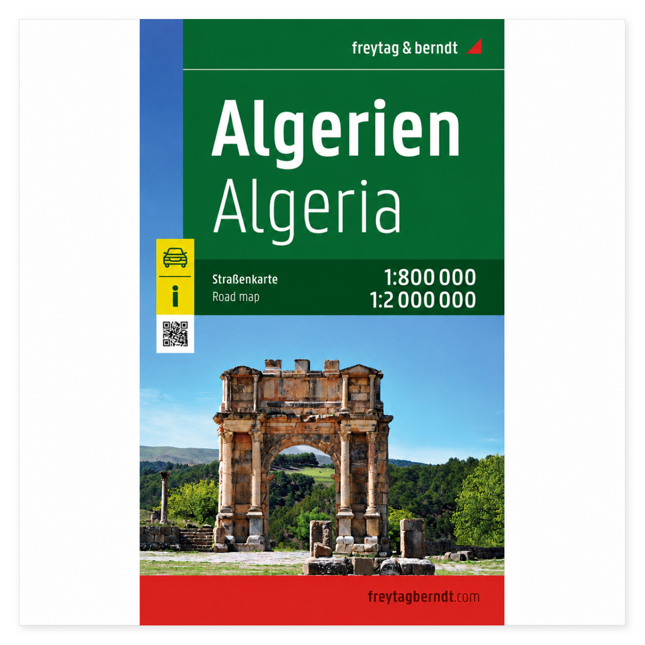
Algeria – Road Map (Multilingual) by Freytag & Berndt is a detailed road map covering all of Algeria, designed for drivers, overland expeditions, and others seeking a reliable overview of the road network in North Africa. The map combines scales of 1:800,000 and 1:2,000, 000, providing a good balance between detailed navigation and an overview of longer routes.
The map shows both major roads and smaller connecting roads, and includes useful information about road conditions, points of interest, campgrounds, and selected city maps. The comprehensive index of locations with ZIP codes is available digitally via a QR code, allowing you to quickly find places on your smartphone or tablet. This makes the map a practical tool both during planning and on the trip itself.
Freytag & Berndt is known for its precise cartography and high quality, and this road map has been produced to provide safe and clear navigation through Algeria’s varied landscapes—from the Mediterranean coast in the north to the vast expanses of the Sahara in the south.
Release year: 2026.