


 Akershus 1795
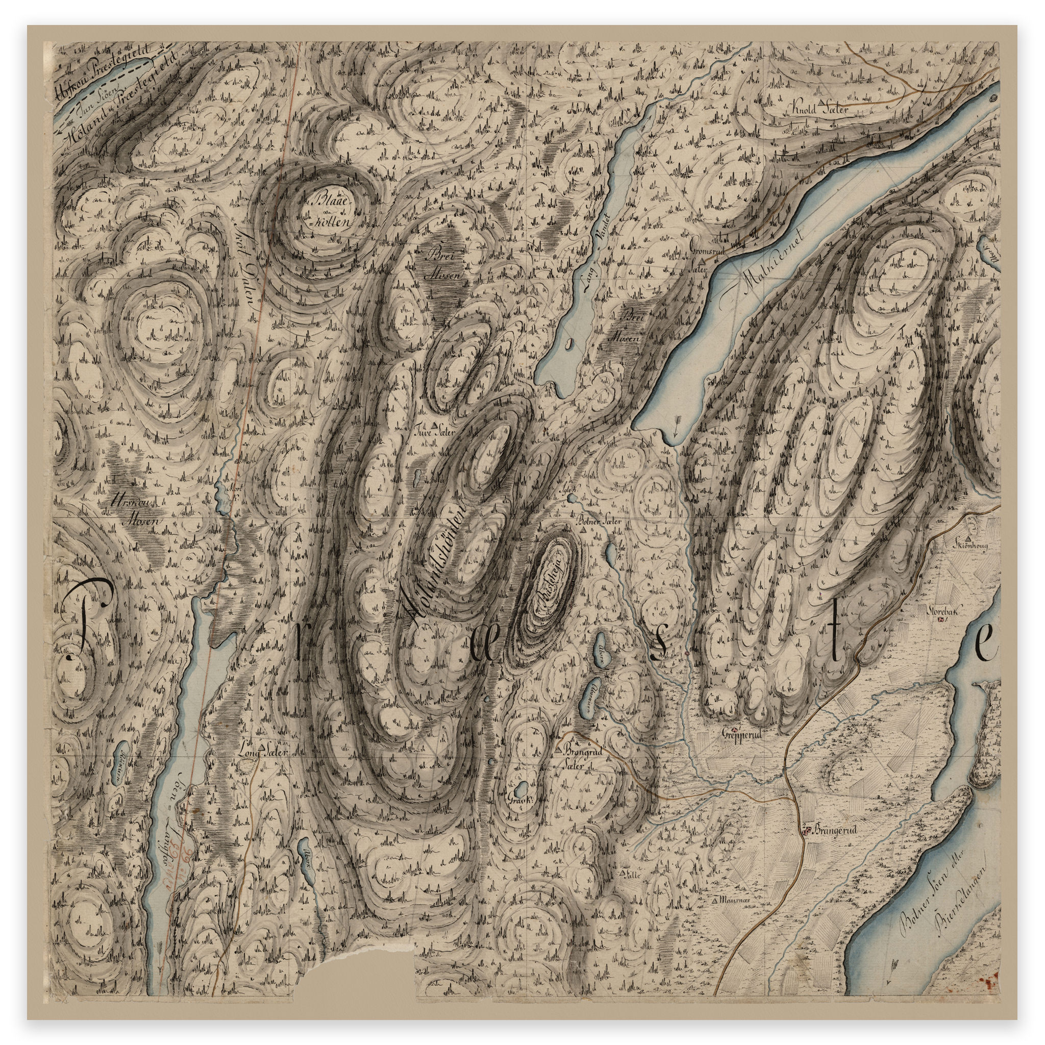


Akershus 1795
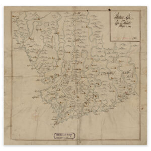
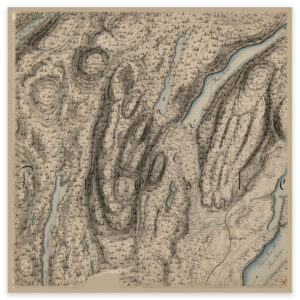
Hand-drawn map of the area between Lake Langfoss and Bjørkelangen in Akershus from 1795. The map is delivered in its original size of 60.7 x 61 cm. The size with frame and passepartout is 78.7 x 80 cm. Would you like the map in a different size? Just get in touch – we’ll be happy to give you a quote for customization.