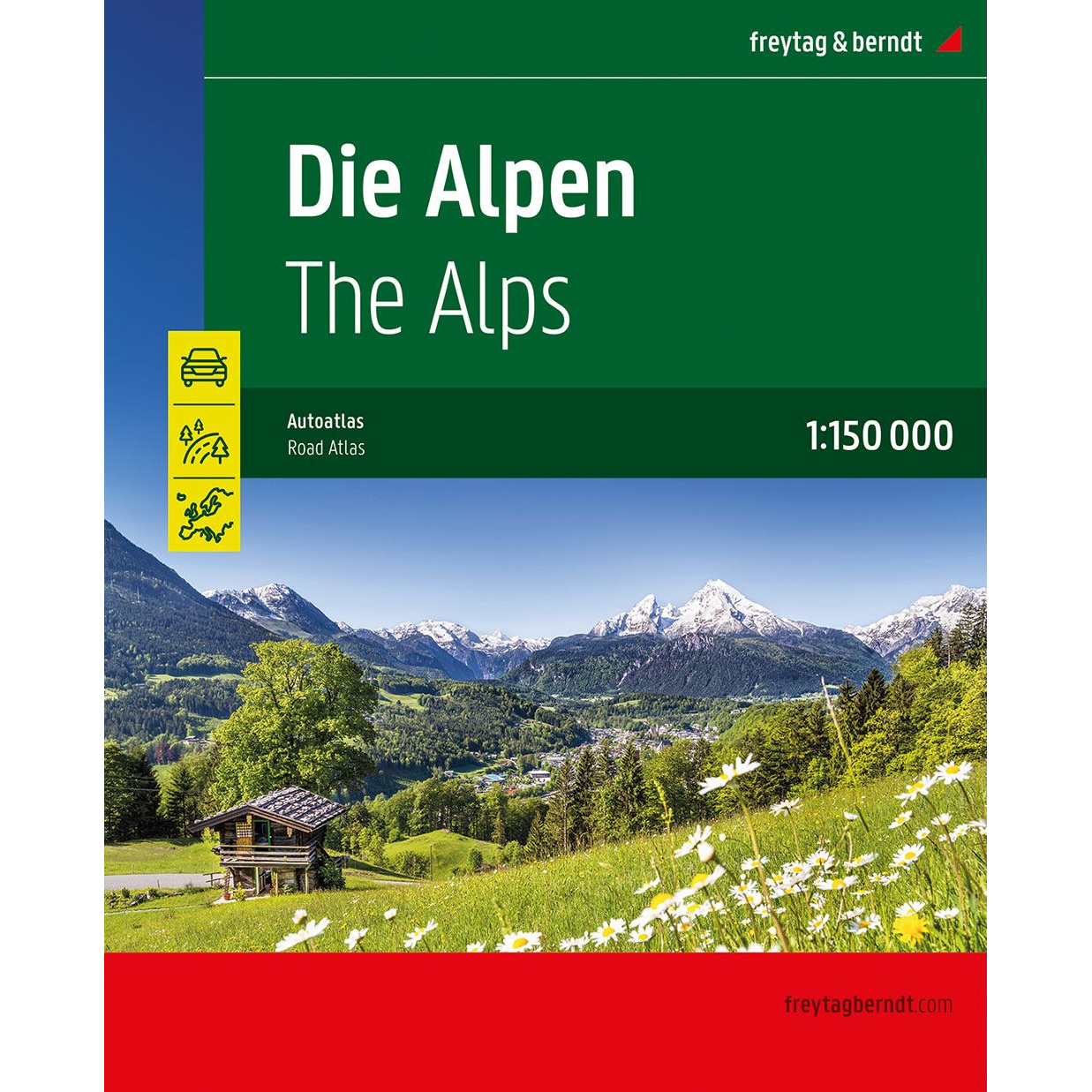
Description
Covering the entire mountainous area of the Alps, this large car atlas has been developed for travelers who want a detailed overview beyond the main roads and highways. The atlas is well suited to both thorough pre-trip planning and on-the-go use, providing reliable orientation for car, motorcycle and motorhome travel in the Alpine regions.
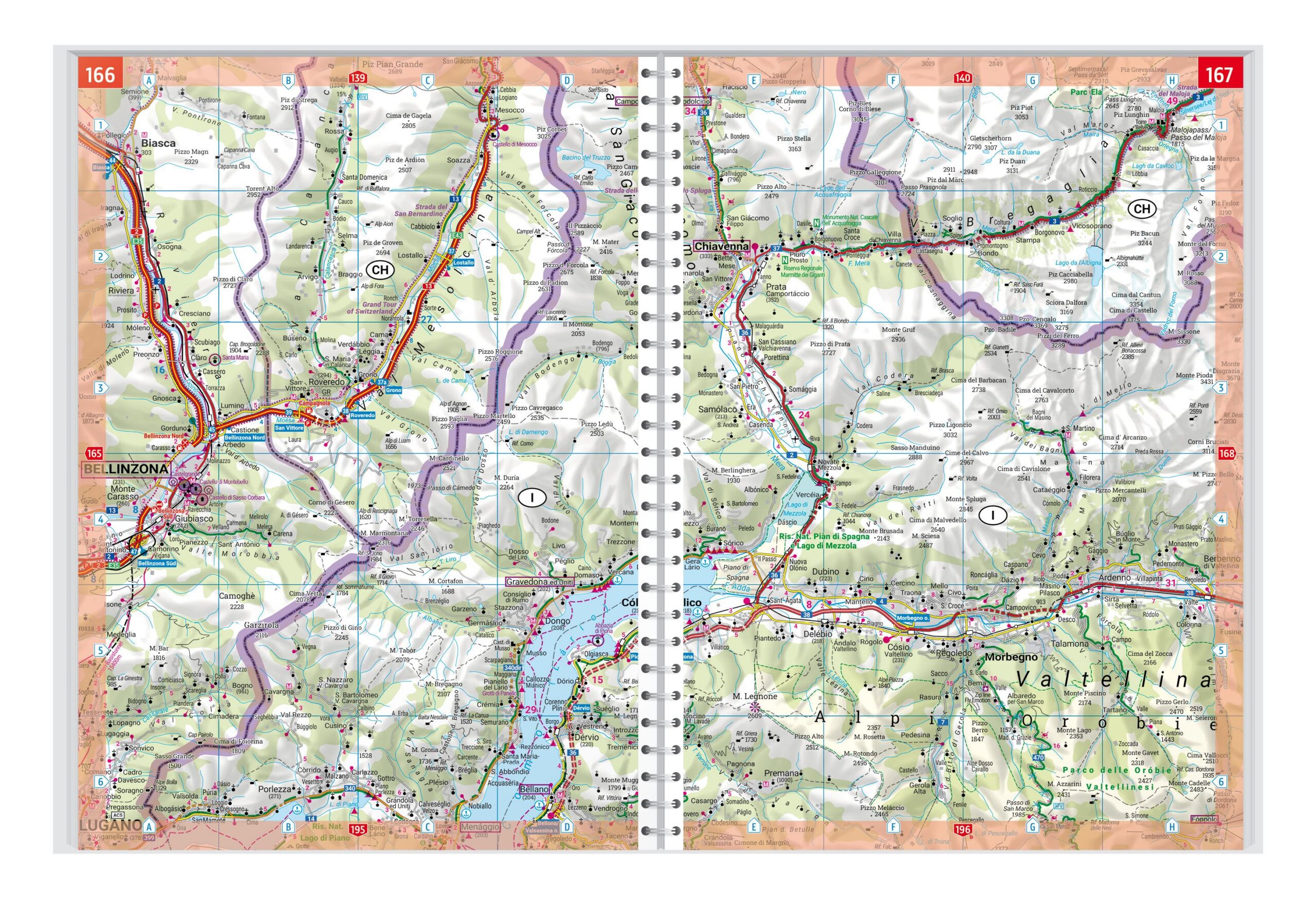
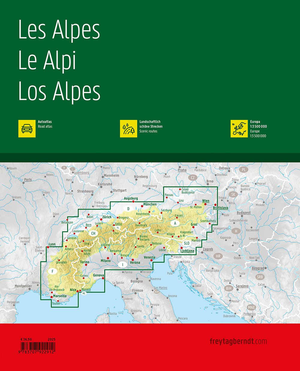
The map coverage follows the entire arc of the Alps from west to east, encompassing Austria and Switzerland in their entirety, as well as adjacent areas in neighboring countries where the Alps extend. The map image is detailed and easy to read, with a clear representation of road networks, towns and important connections. Minor roads and mountain passes are included, making it possible to plan routes through both well-known and less-traveled areas.
The atlas has a practical spiral binding that makes it easy to open and keep the desired page open. A comprehensive place index with postcodes provides quick access to destinations, and camping and motorhome sites are clearly marked. Landscape features, scenic routes and tourist routes are highlighted, making the atlas particularly suitable for adventure-based travel in alpine terrain.
The product is released in 2025.