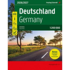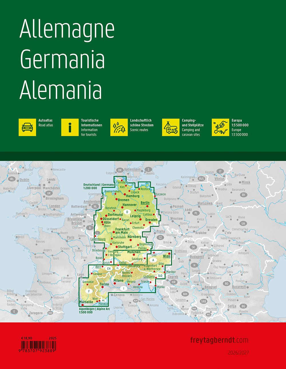
Description
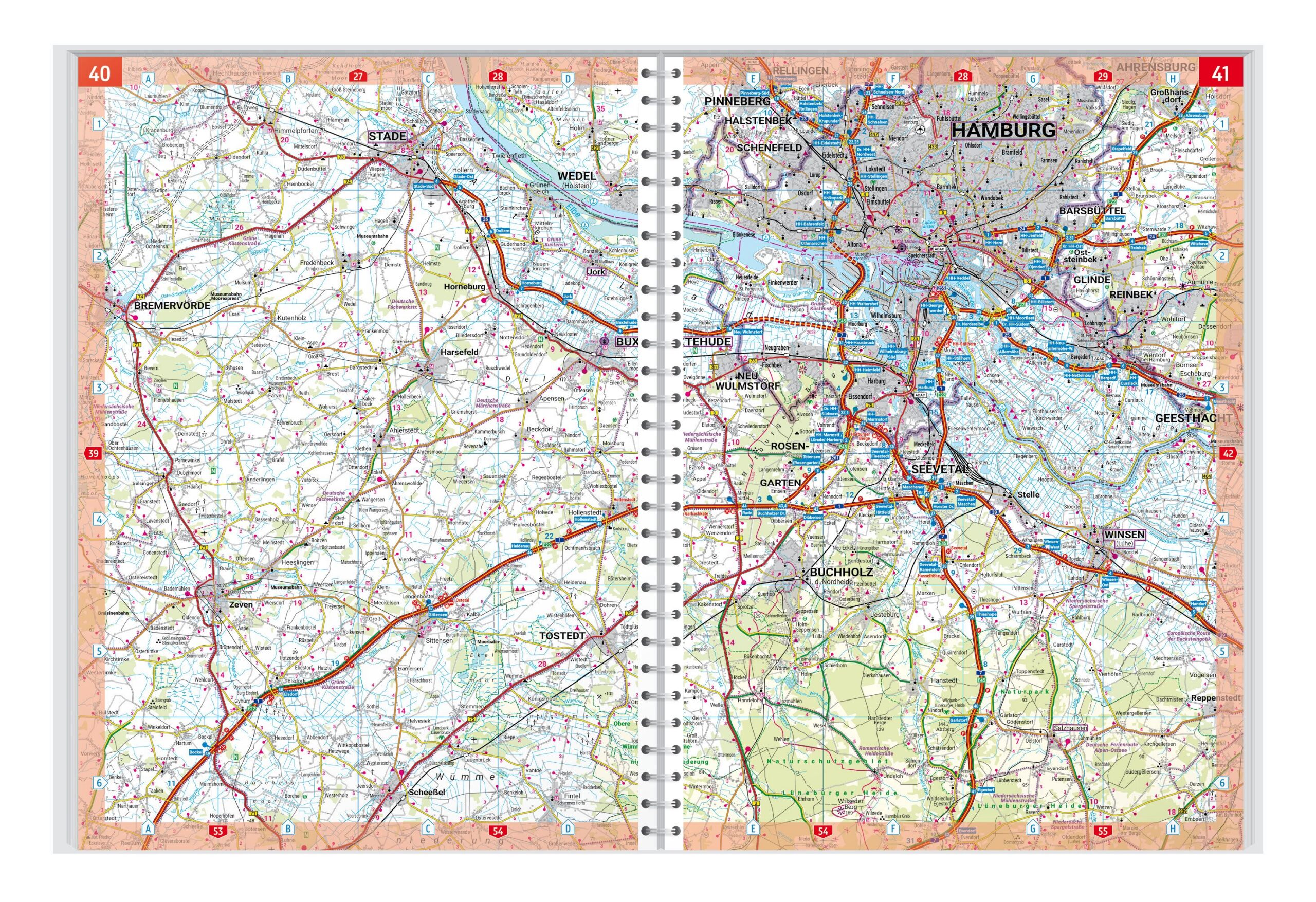
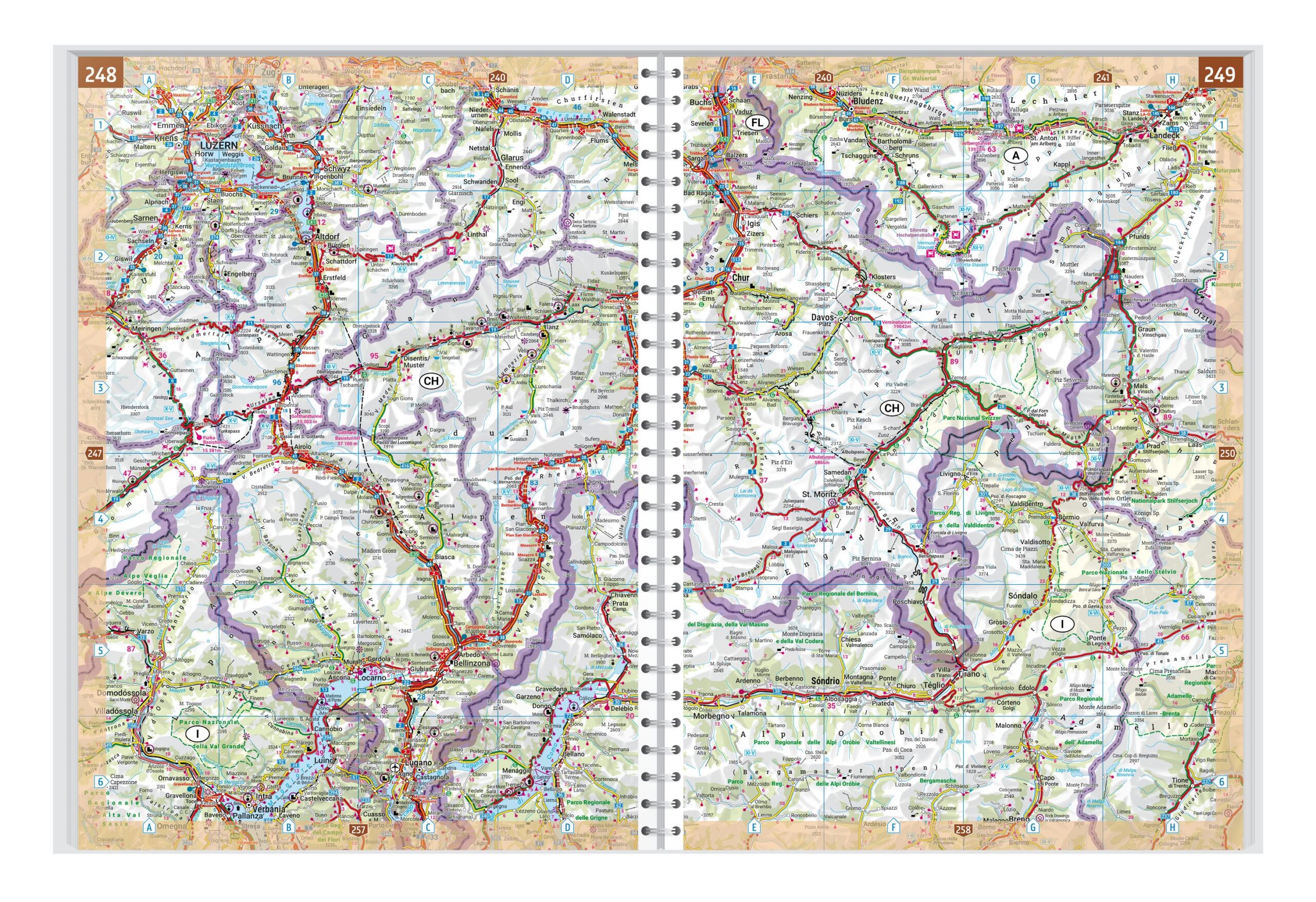
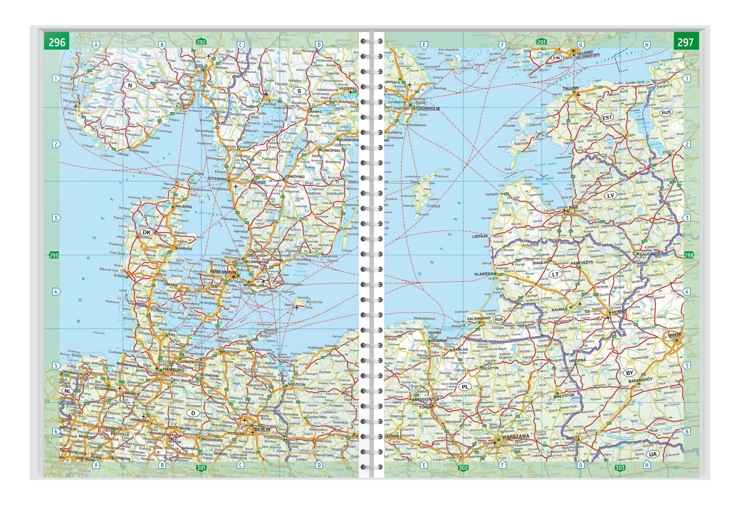
This is an updated and detailed road atlas of Germany at a scale of 1:200,000, published by Freytag & Berndt for the period 2026-2027. The atlas is designed for practical use when traveling and provides a clear and precise representation of the entire road network, including motorways, trunk roads and secondary roads. Cities, towns and important geographical points are clearly marked, making the atlas suitable for both long-distance driving and detailed route planning.
The cartography is renowned for its high readability, with clear colors and consistent symbols that make it easy to orient yourself, even while driving. The atlas also contains a comprehensive index of place names, as well as useful additional information for drivers. As a bonus, a separate 1:500,000 scale Alpine booklet is included, which provides a good overview of the Alpine regions and the most important transit routes.
The atlas comes in a sturdy binding and is well suited for private use, vacation and road trips, as well as for professional users who need reliable and up-to-date road map material. This is the latest available edition and a reliable choice for navigation in Germany.