Description
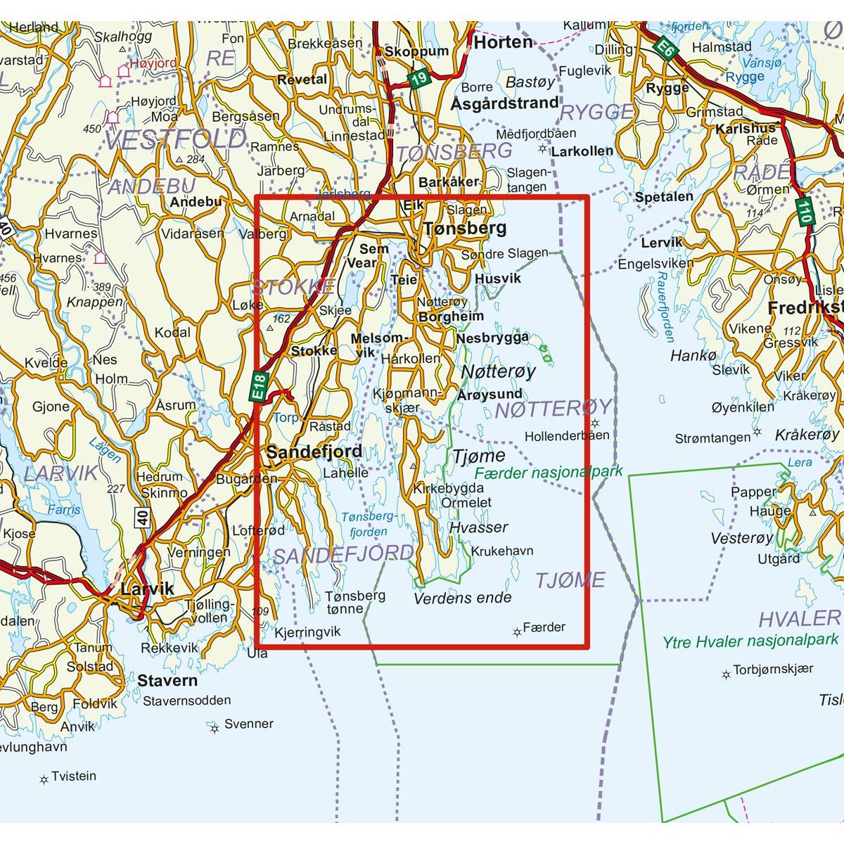
The archipelago map provides a clear presentation of the coast and archipelago in Færder, adapted for practical use in trip planning and experiences along the sea.
The map is printed at scale 1:25,000. The guide is printed on water-repellent and durable map paper that withstands rough use on board. The map is a good tool for getting an overall picture of the area, both before and during the trip.
Important: This is a hiking and overview map, and not an official nautical chart for navigation. For sailing where you need fully updated and authoritative nautical charts, we recommend the Norwegian Mapping Authority’s official chart sheets.
The map was updated in 2016. Although some details may have changed since the update, the map still provides a good overview of the area and is well suited as inspiration and travel aid on the sea trip.