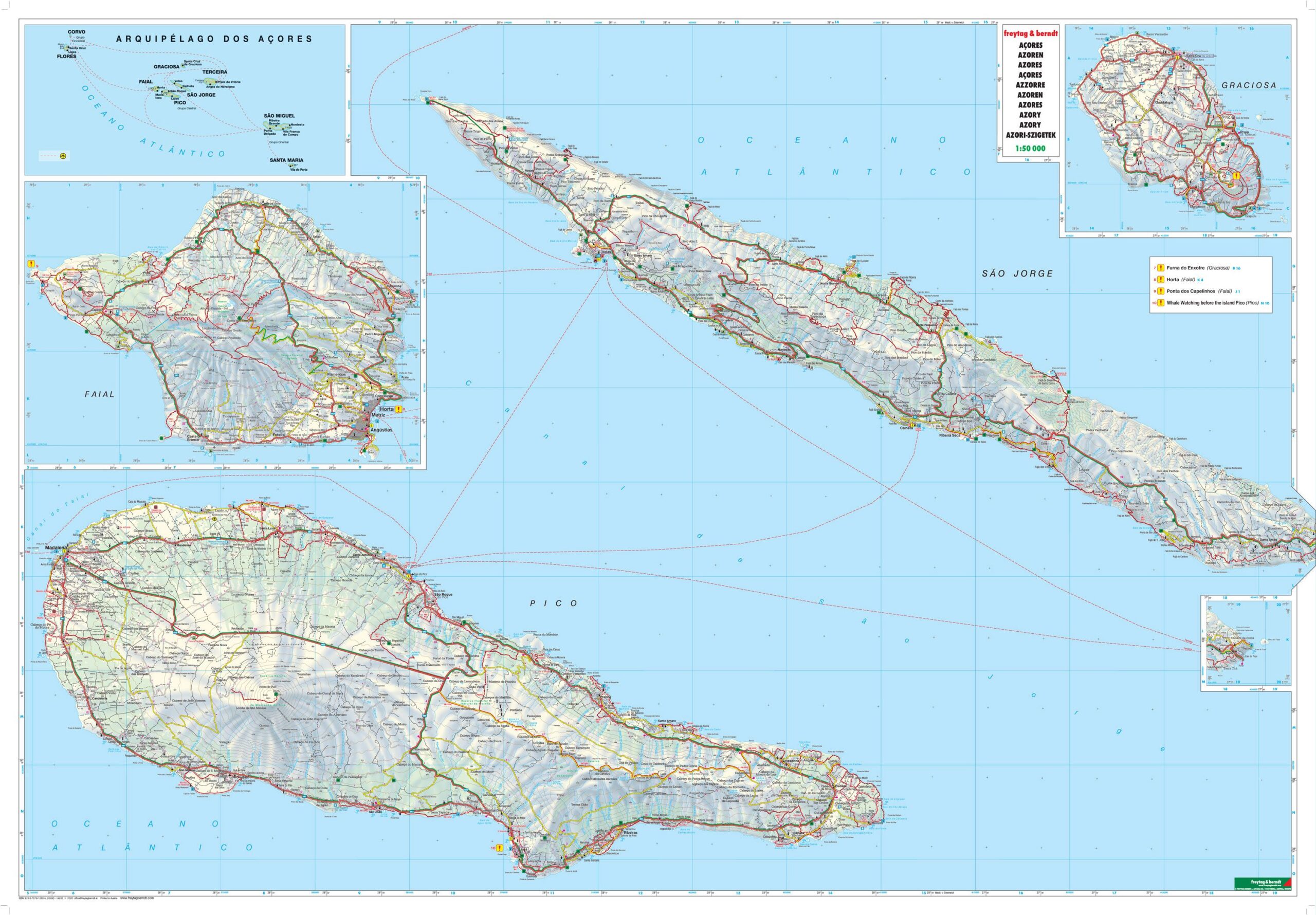
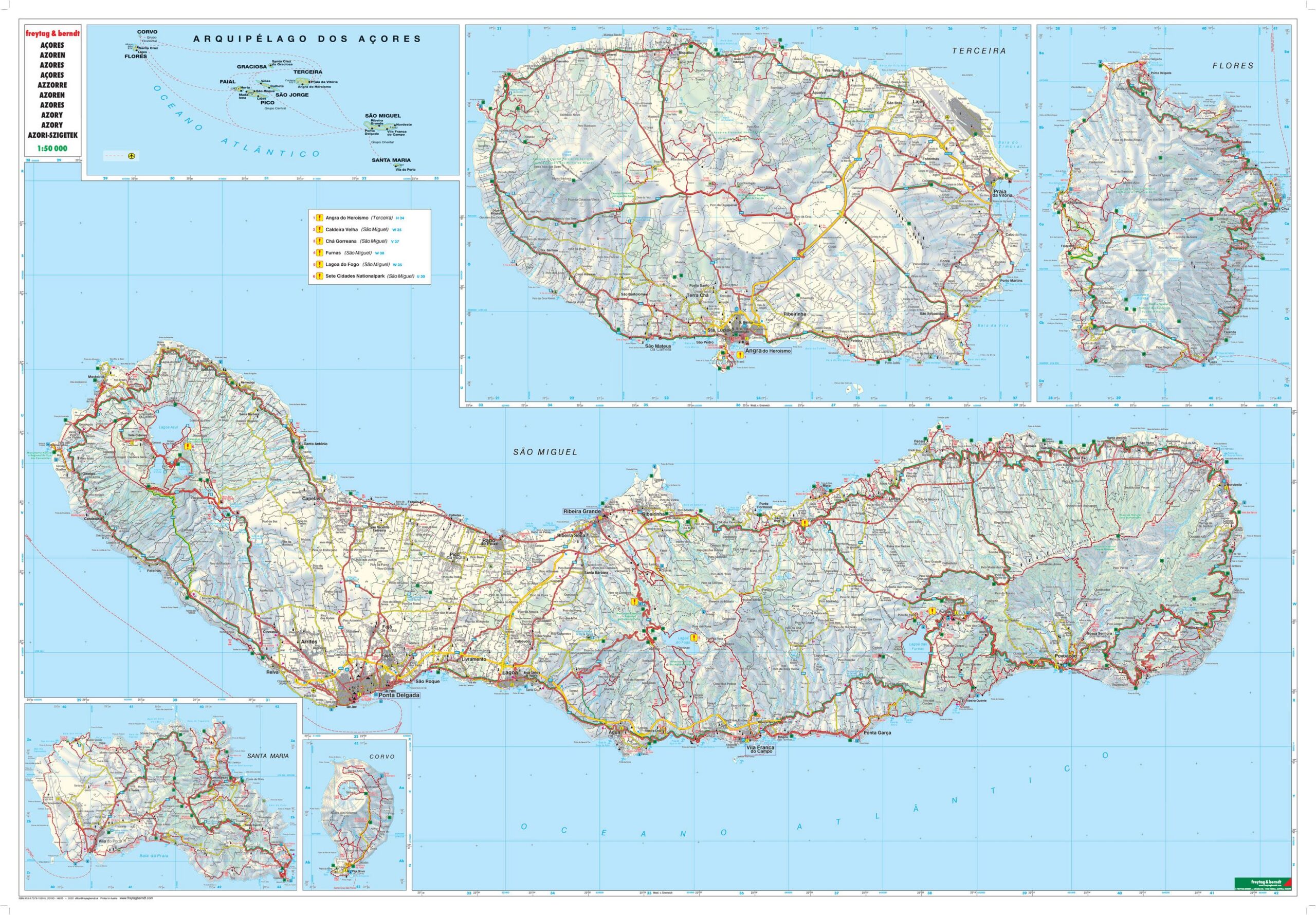
Description
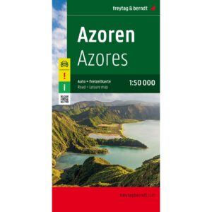
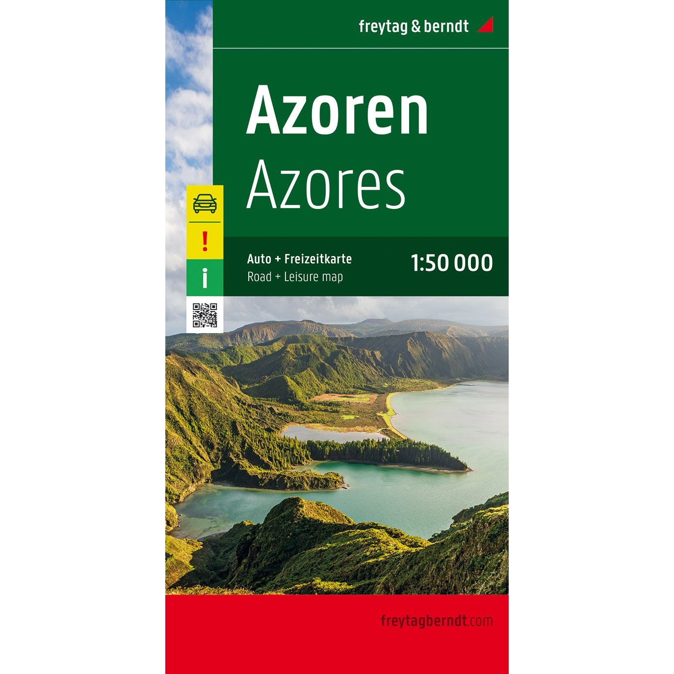
This is a comprehensive and accurate road map of the Azores, designed for travelers who want maximum detail when traveling by car, motorcycle or caravan. The map covers the archipelago at a scale of 1:50,000 and provides a highly accurate representation of the road network, terrain and settlement, making it ideal for both orientation and route planning.
The map shows distances, tourist destinations and landscape features, and is particularly suitable for active travelers who want to explore both main roads and smaller local roads. Campsites and RV parks are clearly marked and an integrated infoguide provides additional practical information about the region. In addition, the map contains city maps that make it easier to find your way around central towns.
The high cartographic quality provides good readability even in hilly terrain, and the map works just as well for planning at home as for active use on the road. The map is printed in large format and is double-sided, providing a good balance between level of detail and overview.
The map is multilingual and can be used regardless of language, as road maps are based on symbols, road numbers and place names. The languages included are German, English, French, Italian, Dutch, Portuguese and Spanish.
The map is published in 2019 by freytag & berndt, printed in Austria, and is delivered as a foldable road map in format approx. 138 × 95 cm unfolded.