Description
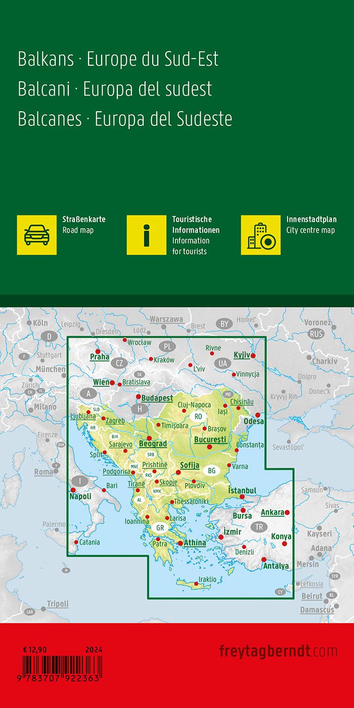
This road map covers the Balkans and Southeastern Europe in a single map surface and provides a clear overview of the road network, regions and important connections in the area. The map is designed for travelers who travel by car or motorcycle and need reliable orientation over larger distances, both for planning and use along the way.
The map shows a dense and well-structured road network with clearly marked main roads and regional connections. Distances and a number of tourist destinations are plotted on the map, making it easier to assess route choice and travel length. The cartography is adapted for practical use and provides good readability even when traveling through several countries.
The map contains city maps of selected cities in the region and a comprehensive place index with postcodes that make it easy to find both larger cities and smaller towns. The large format provides a good overview and makes the map suitable for both active use when traveling and for planning at home.
The product is released in 2024.