Description
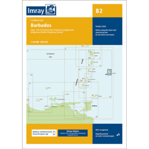
This boating chart covers Barbados in the eastern Caribbean and provides detailed plans for the coastal waters, harbors and anchorages around the island. The chart is designed for convenient navigation for yachts and sailboats sailing locally around Barbados or arriving on the island as part of longer voyages in the Caribbean.
The map includes detailed plans for Port St Charles, Port Ferdinand, Speightstown, Bridgetown and Bridgetown South. Barbados is exposed on the edge of the Atlantic Ocean, with deeper water and more open waters than many other Caribbean islands, and the map provides a good basis for safe navigation along the coast and at port approaches.
Imray is a recognized British chart manufacturer with extensive experience in nautical cartography for leisure and long-distance sailing. Their charts are designed with a focus on high legibility, clear symbols and practical information, and are well suited for use in tropical sailing areas.