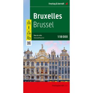
Description
This detailed city map covers Brussels and provides a clear representation of both the urban area and the city center. The map is well suited for orientation in a complex city and provides a solid basis for both planning and use during your stay.
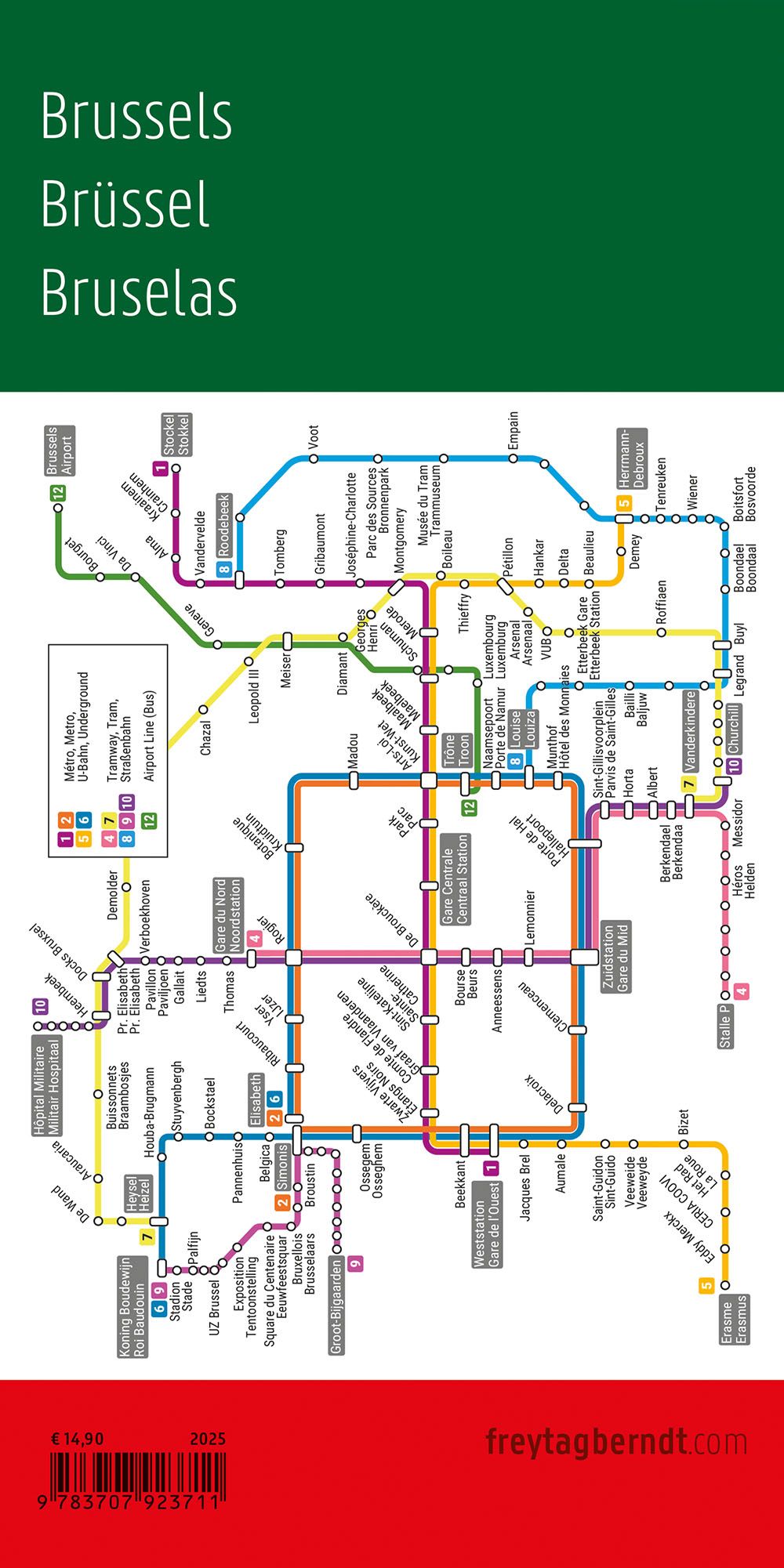
The map shows street grids, key connections and central areas, making it easy to find your way between districts, sights and important hubs. In addition, the map contains information about public transport and a street and place index that makes it easier to navigate efficiently. A separate detailed map section of the city center provides extra precision in areas with a high density of streets and attractions.
The clear cartography provides a good balance between overview and detail, making the map suitable for both quick orientation and more detailed exploration. The map works well both as a pre-trip planning tool and as a practical aid while in the city.
Release year: 2025.