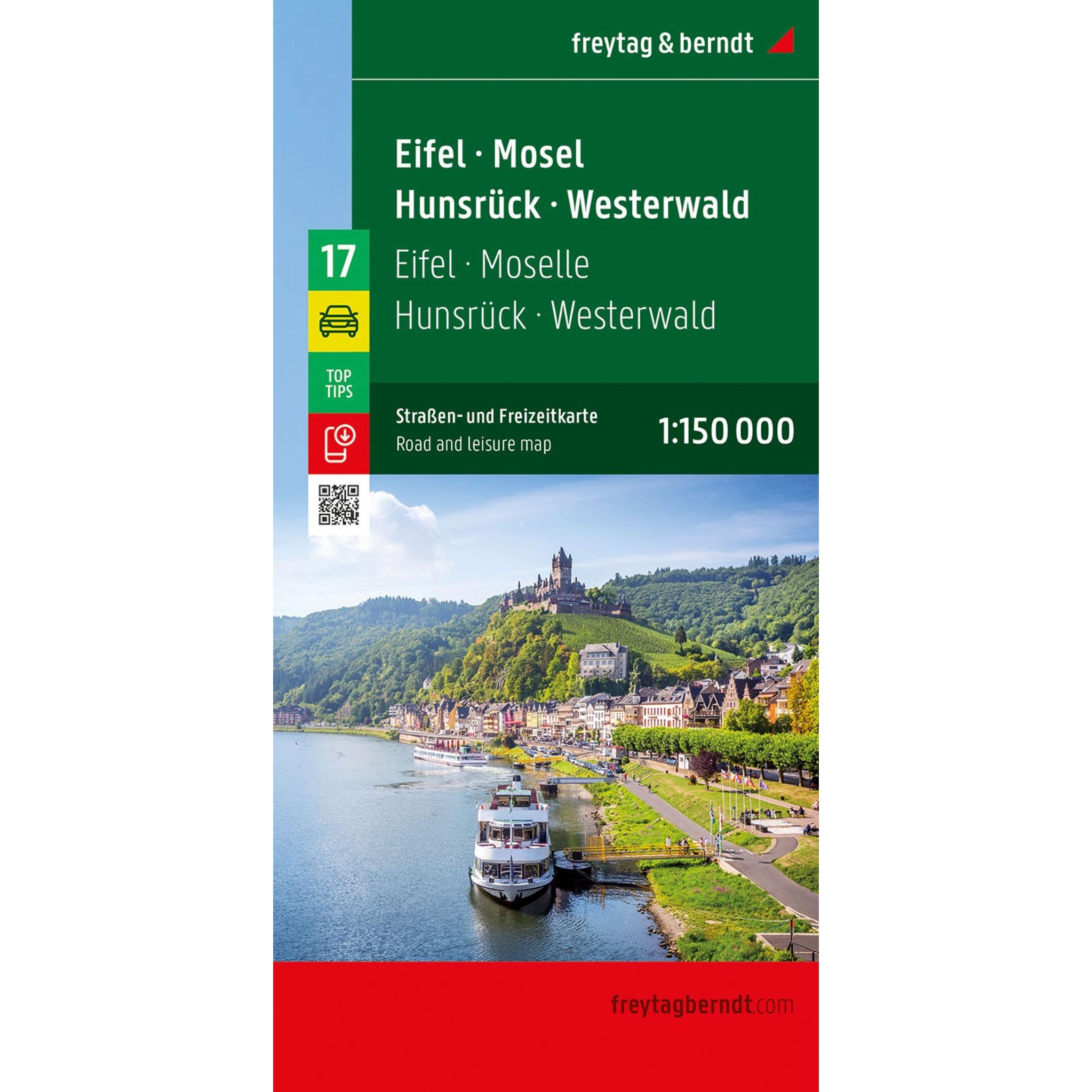
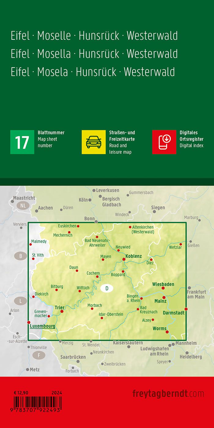
Description
Covering the Eifel, Mosel, Hunsrück and Westerwald regions of western Germany, this road map provides a detailed overview of a varied landscape of river valleys, hills and smaller mountain areas. The map is suitable for both planning and traveling, and provides a solid basis for exploring the region by car.
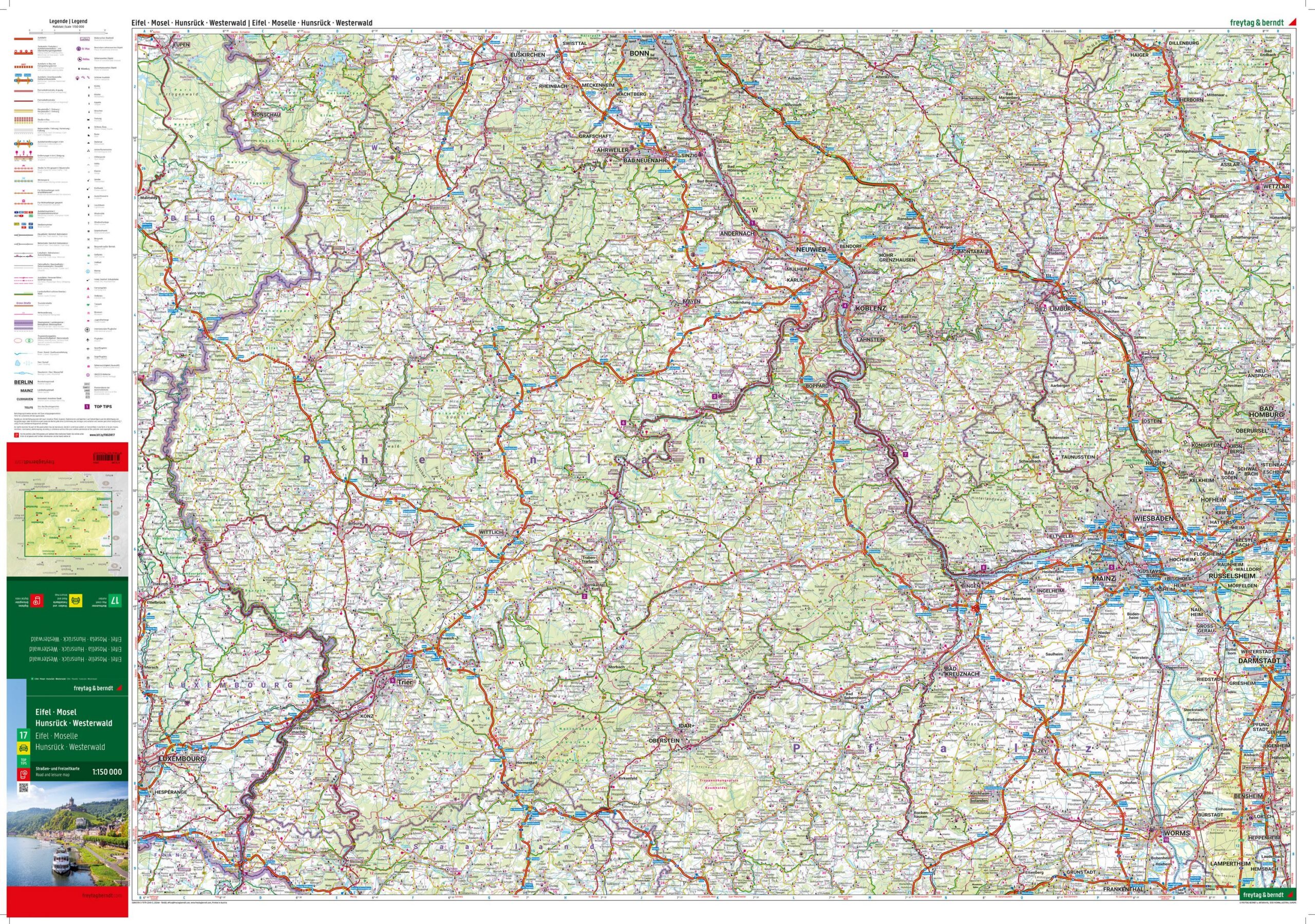
The map shows a fine-meshed road network with both main roads and smaller connections, making it easy to plan routes through both well-known areas and more tranquil landscapes. Tourist information and selected attractions are marked, providing good support for planning stops along the way. In addition, camping and motorhome sites are included, making the map particularly useful for flexible travel.
The clear cartography strikes a good balance between detail and overview, and makes the map easy to use both before and during your journey. A digital gazetteer provides easy access to place names and contributes to efficient navigation in the region.
Release year: 2024.