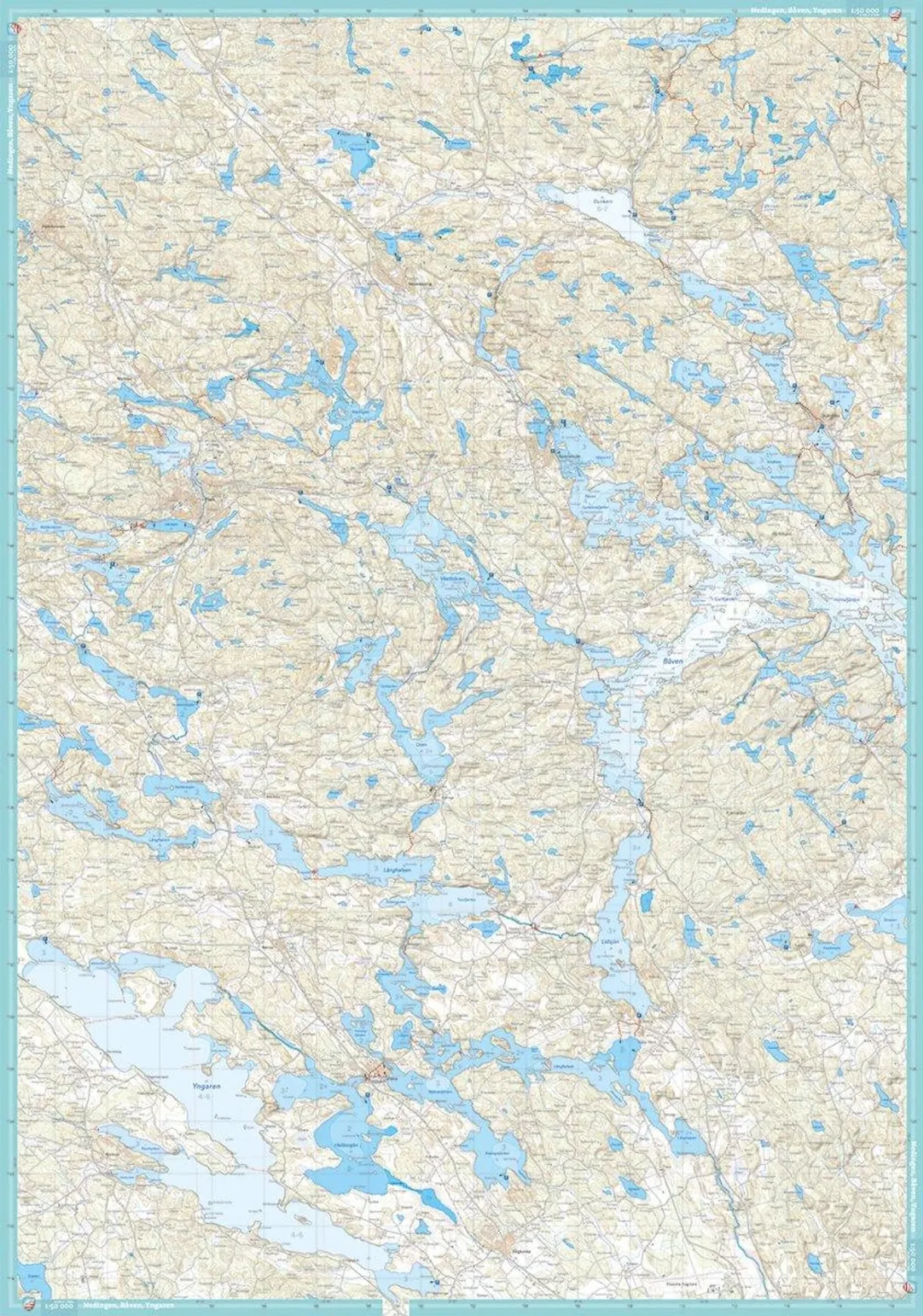
Description
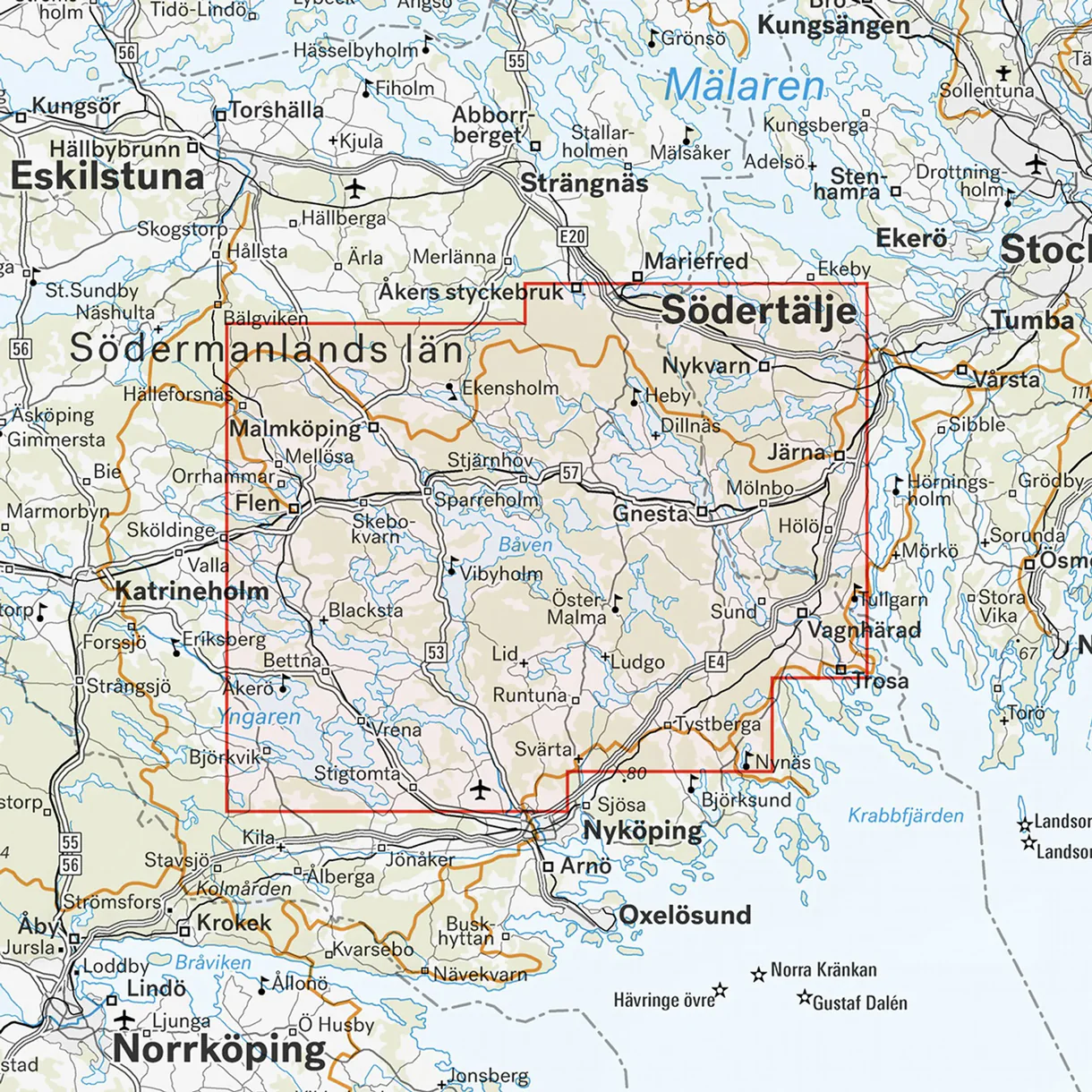
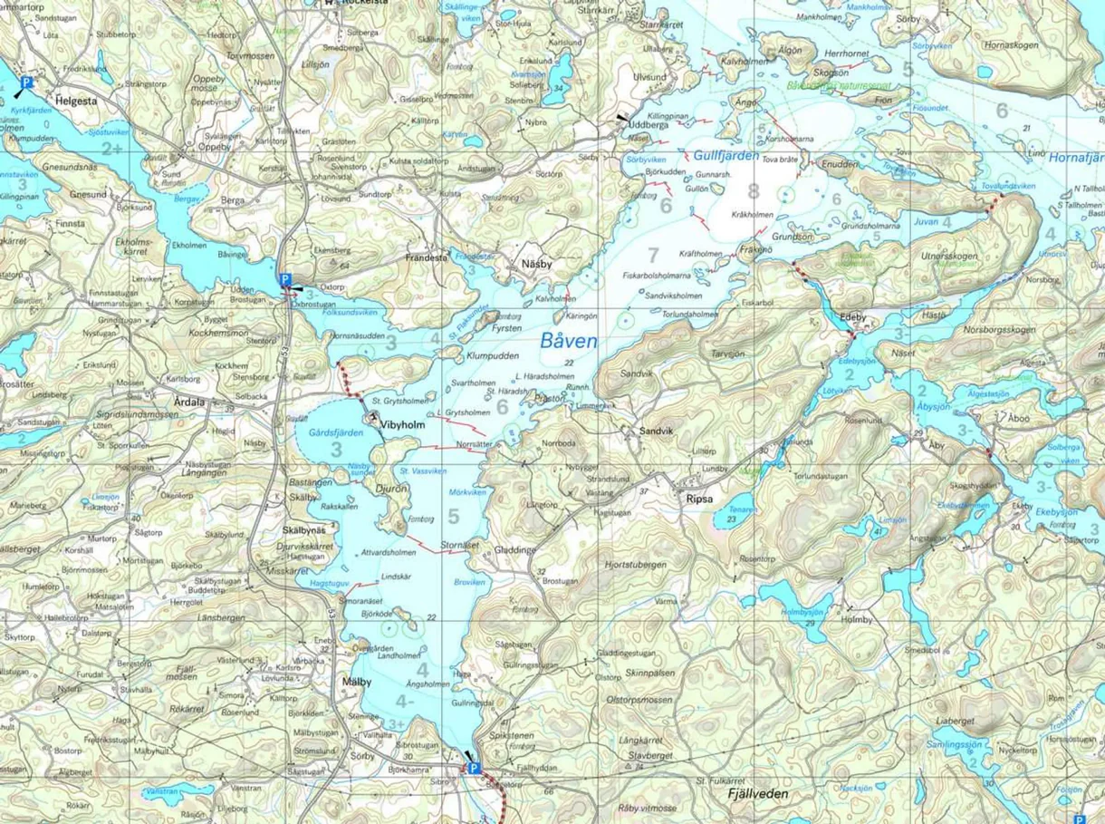
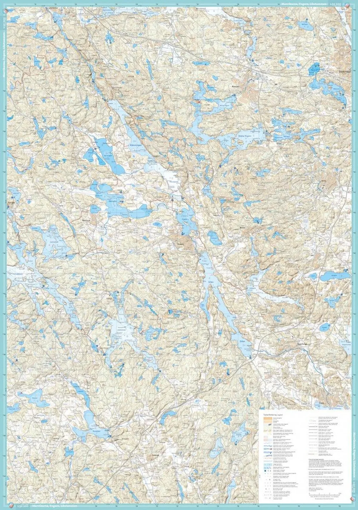
The Båven, Marvikarna & Yngern Cross-Country Skiing Map (1:50,000 ) is a specialized map for those planning cross-country skiing trips and outdoor activities in the area around Båven, Marvikarna, and Yngern.
The map provides an overview of lakes, archipelago areas, waterways, locations, and other useful information that makes it easier to plan your trip. It is particularly useful for those who want to combine a clear overview with a physical map that works well outdoors.
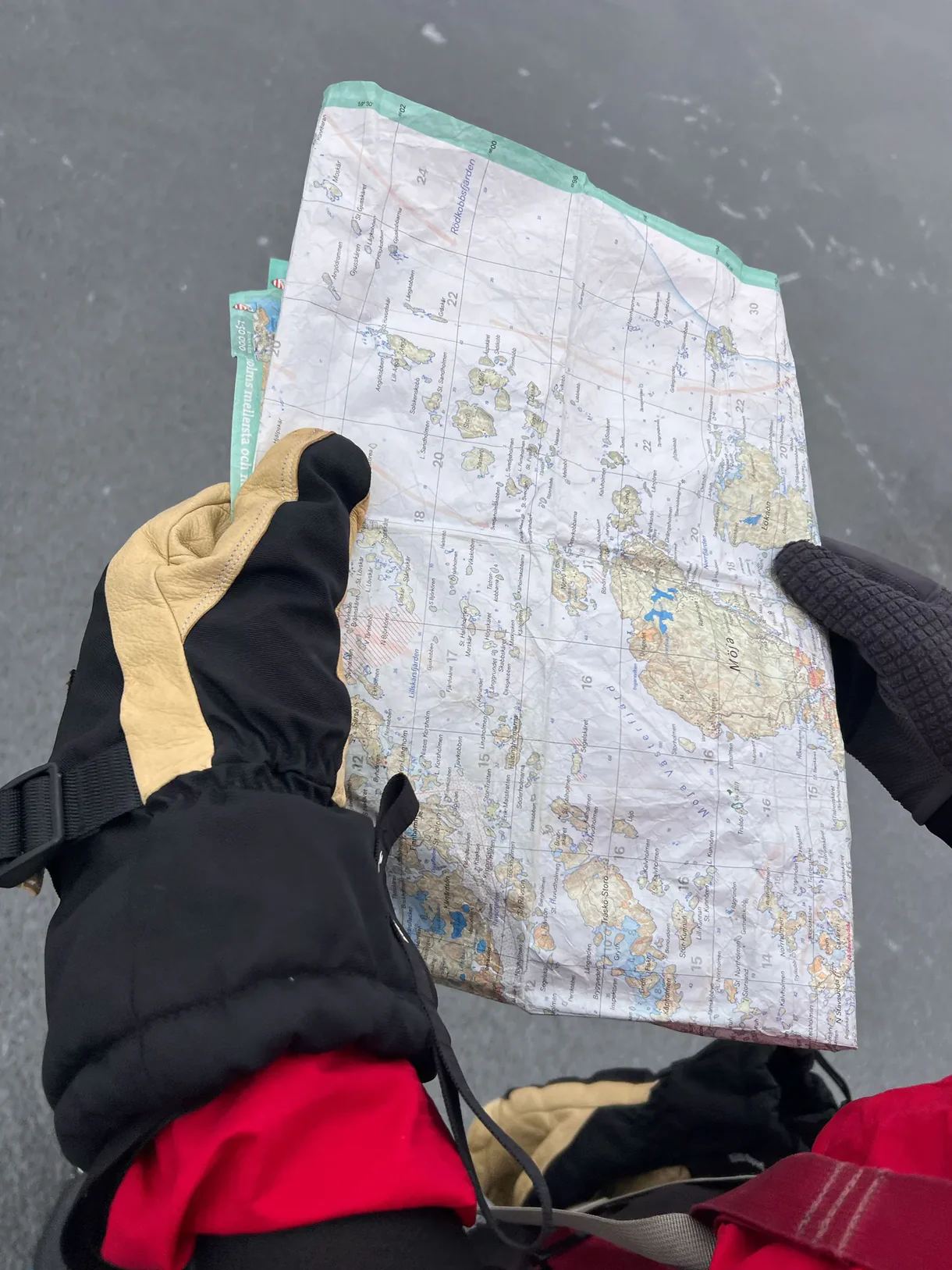
Calazo’s map is designed for active use and is printed on durable, water-resistant material. The map withstands moisture, cold, and repeated folding better than standard paper maps.
Last revised in 2017.