Description
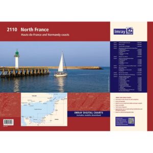
Covering the coastal areas of northern France, including Hauts-de-France and Normandy, this chart package provides a detailed representation of the waters along the English Channel. The chart package is well-suited to both planning and executing voyages, providing a solid foundation for navigation in an area with significant shipping traffic and complex tidal conditions.
The maps cover the stretch from the Strait of Dover and further along the French coast west to Cherbourg. The area includes important ports, tidal areas and estuaries, as well as a number of historic and commercial ports. The charts combine official hydrographic data with additional information, providing good support for both crossings and coastal navigation.
The map package consists of several map sheets in A2 format, delivered in a sturdy plastic folder. The charts provide the necessary information for route planning, approach and mooring, and also include tidal data. In addition, there are comprehensive harbor plans and detailed sections that provide good support when calling and maneuvering in ports and narrow waters.
The map pack includes the following coverage: overview map for the eastern part of the English Channel. The Straits of Dover with detailed navigational data. The coastline from Cap Gris-Nez to Dieppe and beyond to Le Havre. The areas around the Somme and Seine-Maritime with detailed port plans for Dieppe, Fécamp and Le Tréport. The approaches to Le Havre and further up the Seine with port plans for Le Havre and Honfleur. Baie de Seine and the coast further west towards Cherbourg. In addition, comprehensive port plans are included for a number of ports, including Dunkirk, Calais, Boulogne-sur-Mer, Deauville, Ouistreham, Arromanches, Saint-Vaast-la-Hougue and Cherbourg.
The map package is designed for convenient navigation and also includes access to digital maps via a mobile application. The clear cartography and high level of detail make it suitable for both planning and active use along the way.
Release year: 2022.