Description
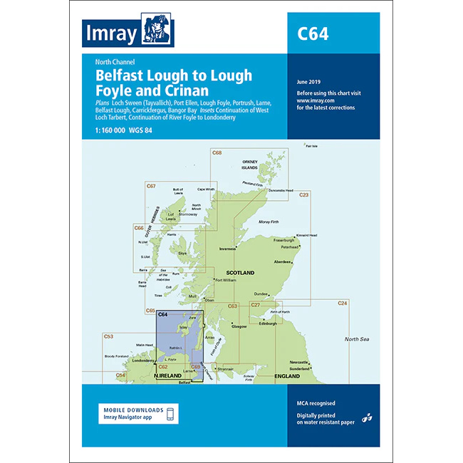
This boating chart covers the waters of the North Channel between Northern Ireland and Scotland, stretching from Belfast Lough via Lough Foyle and further north towards Crinan. The chart has been developed for recreational boating and sailing navigation in an area characterized by strong tidal currents, weather influences and important transit routes between the Irish Sea and the Atlantic Ocean.
The map provides an overview of coastlines, straits, islands and key approaches to ports and fjords along both the Northern Ireland and Scottish coasts. It is suitable for route planning and overview navigation, and is often used in combination with more detailed local charts for safe navigation in the North Channel and adjacent waters.
Imray is a renowned British chart manufacturer with extensive experience in nautical charts and publications for leisure boats. Their charts are designed with practical on-board use in mind, combining clear cartography with reliable nautical information for sailors and powerboaters.