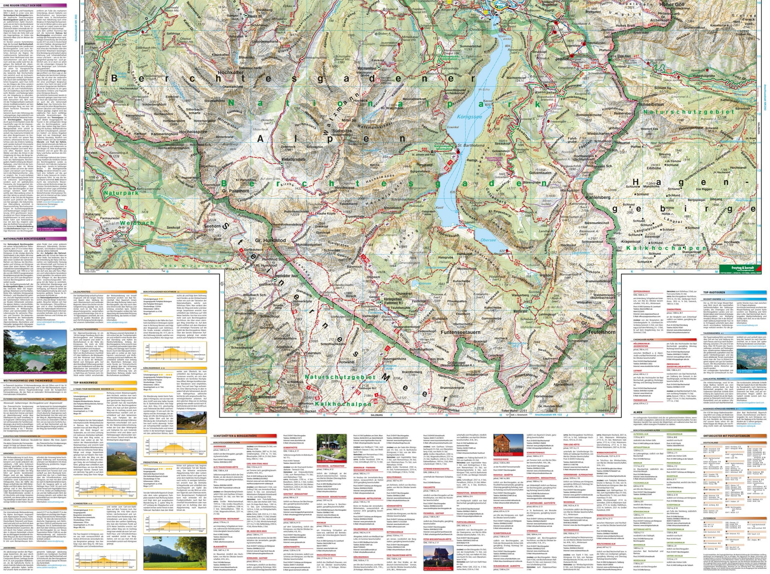

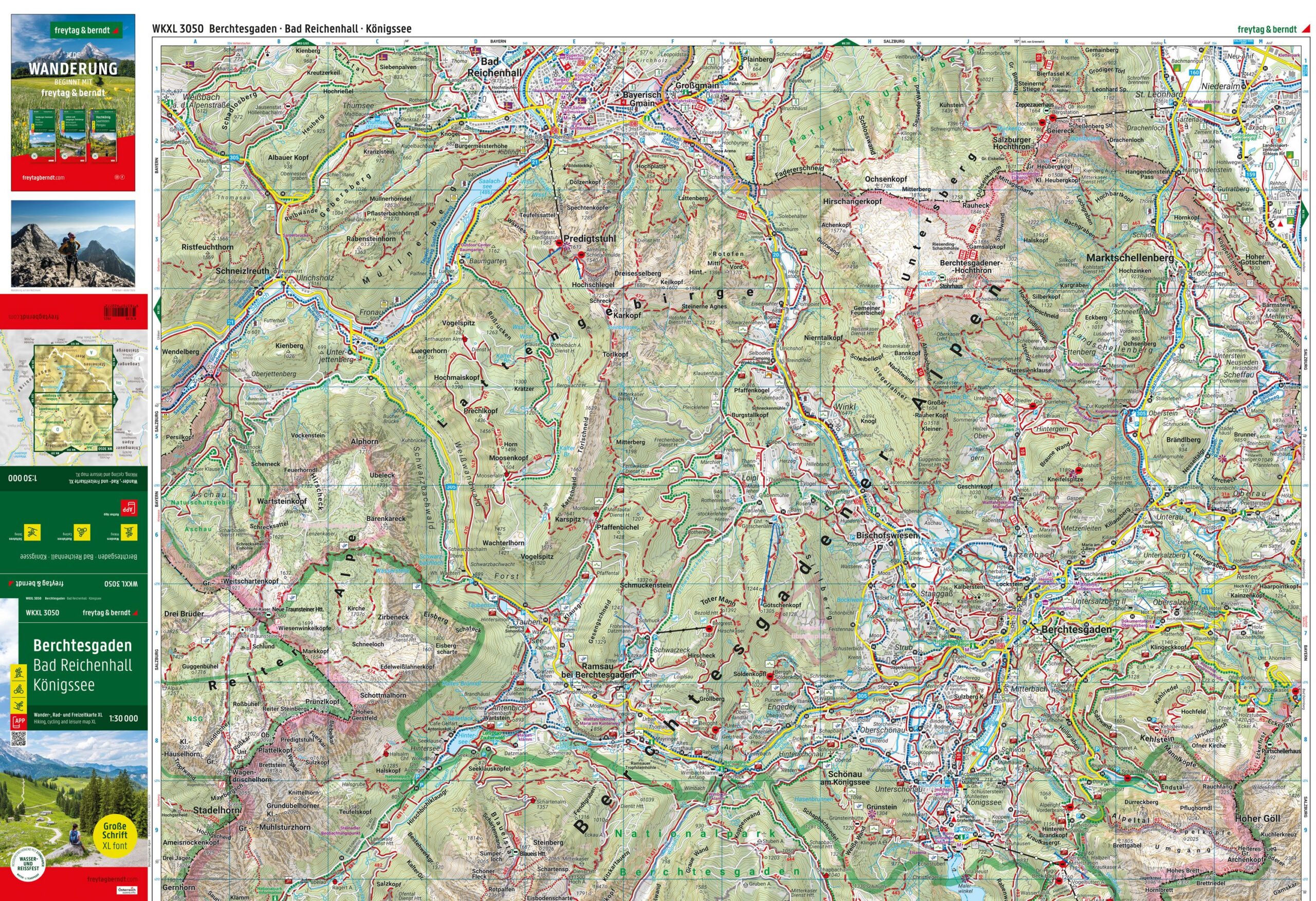
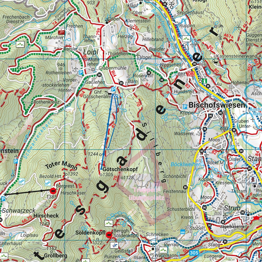
Description
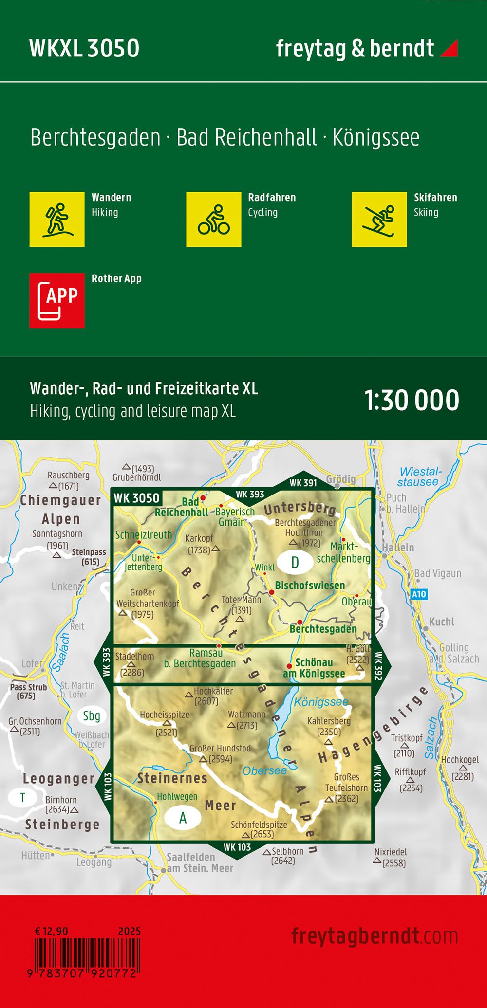
This road map covers the Berchtesgaden area with Bad Reichenhall and Königssee and provides a good overview of roads, trails and important connections in the Berchtesgadener Alpen. The map is adapted for use when traveling by car, cycling and planning a stay in one of the most popular mountain areas in southern Germany. The area is characterized by alpine landscapes, national parks, lakes and mountain passes, and the map provides a clear and easy-to-read picture of both main routes and local roads. The extra-large font makes the map particularly suitable for use in the field and for users who want high legibility. The cartography is designed for practical navigation and planning throughout the year. Release year: 2025.