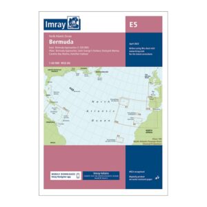
Description
This is Imray’s detailed boating chart for Bermuda, designed for safe and precise navigation in the North Atlantic. Covering the entire archipelago, the chart provides a good overview of the waters around Bermuda, combined with detailed approaches and harbor plans for St. George’s Harbour, Dockyard Marina, Caroline Bay Marina and Hamilton Harbour, among others.
Imray is recognized internationally as one of the leading publishers of nautical charts for leisure and cruising sailors. The charts are known for their clear cartography, thoughtful use of symbols and good balance between overview and detail. This makes them particularly suitable for both planning and active navigation on board.
The chart is printed on durable, water-resistant paper that withstands use in demanding maritime environments. It is MCA-approved and developed according to modern navigation standards, with WGS 84 datum. In addition, the map can be used in conjunction with the Imray Navigator App, which allows for digital viewing and continuous updates.
Equally suited to sailors on longer ocean crossings and local trips around Bermuda, this chart is a natural choice for anyone looking for a reliable and professional paper chart.