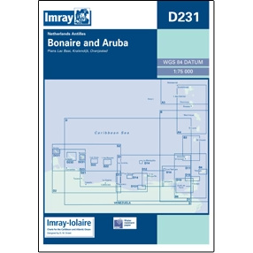
Description
This boating chart covers the islands of Bonaire and Aruba in the southern Caribbean and is designed for recreational boating and sailboat navigation in the area. The chart provides an overview of coastlines, nearby waters, important approaches and anchorages, and is ideal for sailing along the coast and planning routes between the islands.
Often used as an overview chart in combination with more detailed harbor and coastal charts, it provides a good basis for safe navigation and efficient route planning in this part of the Caribbean. It provides a clear picture of distances, exposed sea areas and strategic route choices when calling and sailing.
Imray is a recognized British chart manufacturer with extensive experience in nautical charts and publications for leisure boats. Their charts are designed with practicality on board in mind, combining clear cartography with reliable nautical information.